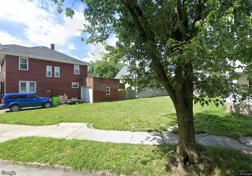
369 Perry St Fostoria, OH 44830
Estimated Value: $104,000 - $131,000
4
Beds
2
Baths
2,106
Sq Ft
$58/Sq Ft
Est. Value
About This Home
This home is located at 369 Perry St, Fostoria, OH 44830 and is currently estimated at $122,919, approximately $58 per square foot. 369 Perry St is a home with nearby schools including Fostoria Intermediate Elementary School and Fostoria Junior/Senior High School.
Ownership History
Date
Name
Owned For
Owner Type
Purchase Details
Closed on
Aug 5, 1999
Bought by
Douglas Simon P
Current Estimated Value
Purchase Details
Closed on
Jan 9, 1998
Sold by
Widunas George A
Bought by
Clark Brent Properties Inc
Purchase Details
Closed on
May 15, 1996
Sold by
Souder Joseph H
Bought by
Widunas George A
Create a Home Valuation Report for This Property
The Home Valuation Report is an in-depth analysis detailing your home's value as well as a comparison with similar homes in the area
Home Values in the Area
Average Home Value in this Area
Purchase History
| Date | Buyer | Sale Price | Title Company |
|---|---|---|---|
| Douglas Simon P | $62,000 | -- | |
| Clark Brent Properties Inc | $49,900 | -- | |
| Widunas George A | $40,500 | -- |
Source: Public Records
Tax History Compared to Growth
Tax History
| Year | Tax Paid | Tax Assessment Tax Assessment Total Assessment is a certain percentage of the fair market value that is determined by local assessors to be the total taxable value of land and additions on the property. | Land | Improvement |
|---|---|---|---|---|
| 2024 | $1,863 | $36,210 | $2,750 | $33,460 |
| 2023 | $1,867 | $36,210 | $2,750 | $33,460 |
| 2022 | $1,634 | $28,230 | $2,280 | $25,950 |
| 2021 | $1,669 | $28,230 | $2,280 | $25,950 |
| 2020 | $1,676 | $28,228 | $2,279 | $25,949 |
| 2019 | $1,587 | $26,513 | $2,195 | $24,318 |
| 2018 | $1,617 | $26,513 | $2,195 | $24,318 |
| 2017 | $1,616 | $26,513 | $2,195 | $24,318 |
| 2016 | $1,285 | $23,535 | $2,342 | $21,193 |
| 2015 | $1,265 | $23,535 | $2,342 | $21,193 |
| 2014 | $1,206 | $23,535 | $2,342 | $21,193 |
| 2013 | $1,418 | $25,582 | $2,545 | $23,037 |
Source: Public Records
Map
Nearby Homes
- 723 N Union St
- 520 N Union St
- 211 Summit St
- 931 N Union St
- 633 Maple St
- 892 N Countyline St
- 203 N Union St
- 900 N Countyline St
- 540 N Poplar St
- 603 N Vine St
- 509 College Ave
- 435 Park Ave
- 207 W Culbertson St
- 321 Mcdougal St
- 901 Central Ave
- 348 W South St
- 351 W South St
- 0 W South Route 12
- 442 Union Ct
- 1324 N Union St