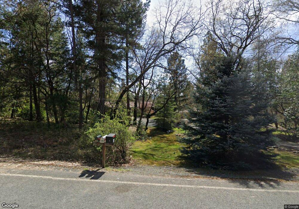
369 Roan Dr Grants Pass, OR 97526
Estimated Value: $564,257 - $662,000
3
Beds
2
Baths
2,175
Sq Ft
$282/Sq Ft
Est. Value
About This Home
This home is located at 369 Roan Dr, Grants Pass, OR 97526 and is currently estimated at $613,129, approximately $281 per square foot. 369 Roan Dr is a home located in Josephine County with nearby schools including Ft. Vannoy Elementary School, Fleming Middle School, and North Valley High School.
Ownership History
Date
Name
Owned For
Owner Type
Purchase Details
Closed on
Jul 14, 2005
Sold by
Rapose Melvin D and Rapose Alice M
Bought by
Rapose Melvin D and Rapose Alice M
Current Estimated Value
Home Financials for this Owner
Home Financials are based on the most recent Mortgage that was taken out on this home.
Original Mortgage
$120,000
Interest Rate
5.55%
Mortgage Type
New Conventional
Create a Home Valuation Report for This Property
The Home Valuation Report is an in-depth analysis detailing your home's value as well as a comparison with similar homes in the area
Home Values in the Area
Average Home Value in this Area
Purchase History
| Date | Buyer | Sale Price | Title Company |
|---|---|---|---|
| Rapose Melvin D | -- | First American |
Source: Public Records
Mortgage History
| Date | Status | Borrower | Loan Amount |
|---|---|---|---|
| Closed | Rapose Melvin D | $120,000 |
Source: Public Records
Tax History Compared to Growth
Tax History
| Year | Tax Paid | Tax Assessment Tax Assessment Total Assessment is a certain percentage of the fair market value that is determined by local assessors to be the total taxable value of land and additions on the property. | Land | Improvement |
|---|---|---|---|---|
| 2025 | $2,862 | $397,020 | -- | -- |
| 2024 | $2,862 | $385,460 | -- | -- |
| 2023 | $2,339 | $374,240 | $0 | $0 |
| 2022 | $2,361 | $363,340 | -- | -- |
| 2021 | $2,213 | $352,760 | $0 | $0 |
| 2020 | $2,308 | $342,490 | $0 | $0 |
| 2019 | $2,216 | $332,520 | $0 | $0 |
| 2018 | $2,247 | $322,840 | $0 | $0 |
| 2017 | $2,246 | $313,440 | $0 | $0 |
| 2016 | $1,903 | $304,320 | $0 | $0 |
| 2015 | $1,837 | $295,460 | $0 | $0 |
| 2014 | $1,790 | $286,860 | $0 | $0 |
Source: Public Records
Map
Nearby Homes
- 477 Roan Dr
- 6181 Lower River Rd
- 5668 Upper River Rd
- 250 Cambridge Dr
- 5076 Leonard Rd Unit 69
- 5076 Leonard Rd Unit 117
- 770 Pass Creek Rd
- 225 Joshua St
- 4574 Lower River Rd
- 720 Azalea Dr
- 581 Azalea Dr
- 412 Teakwood Dr
- 333 Beechwood Dr
- 306 Sandlewood Dr
- 4441 Upper River Rd
- 857 Azalea Dr
- 1752 Rounds Ave
- 4189 Upper River Rd
- 3597 Leonard Rd
- 2100 Robinson Rd
- 425 Roan Dr
- 323 Roan Dr
- 355 Roan Dr
- 320 Roan Dr
- 6134 Lower River Rd
- 366 Roan Dr
- 173 Roan Dr
- 6202 Lower River Rd
- 6206 Lower River Rd
- 6240 Lower River Rd
- 6100 Lower River Rd
- 6170 Lower River Rd
- 310 El Camino Way
- 278 Roan Dr
- 478 Roan Dr
- 539 Roan Dr
- 340 El Camino Way
- 234 Roan Dr
- 163 Buckskin Rd
- 254 El Camino Way
