369 S Main St Unit 1 Troutman, NC 28166
Estimated Value: $445,444
--
Bed
--
Bath
3,200
Sq Ft
$139/Sq Ft
Est. Value
About This Home
This home is located at 369 S Main St Unit 1, Troutman, NC 28166 and is currently priced at $445,444, approximately $139 per square foot. 369 S Main St Unit 1 is a home located in Iredell County with nearby schools including Troutman Elementary School, Troutman Middle School, and South Iredell High School.
Ownership History
Date
Name
Owned For
Owner Type
Purchase Details
Closed on
Feb 6, 2023
Sold by
Ase Group Inc
Bought by
Ase Group Inc
Current Estimated Value
Purchase Details
Closed on
Jun 13, 2016
Sold by
Atlas Nc I Spe Llc
Bought by
Ase Group Inc
Home Financials for this Owner
Home Financials are based on the most recent Mortgage that was taken out on this home.
Original Mortgage
$204,000
Interest Rate
3.66%
Mortgage Type
Commercial
Purchase Details
Closed on
May 5, 2016
Sold by
Smith Cynthia A
Bought by
Atlas Nc 1 Spe Llc
Home Financials for this Owner
Home Financials are based on the most recent Mortgage that was taken out on this home.
Original Mortgage
$204,000
Interest Rate
3.66%
Mortgage Type
Commercial
Purchase Details
Closed on
Nov 1, 1996
Purchase Details
Closed on
Dec 1, 1988
Create a Home Valuation Report for This Property
The Home Valuation Report is an in-depth analysis detailing your home's value as well as a comparison with similar homes in the area
Home Values in the Area
Average Home Value in this Area
Purchase History
| Date | Buyer | Sale Price | Title Company |
|---|---|---|---|
| Ase Group Inc | -- | -- | |
| Ase Group Inc | $255,000 | None Available | |
| Atlas Nc 1 Spe Llc | $373,000 | None Available | |
| -- | -- | -- | |
| -- | -- | -- |
Source: Public Records
Mortgage History
| Date | Status | Borrower | Loan Amount |
|---|---|---|---|
| Previous Owner | Ase Group Inc | $204,000 |
Source: Public Records
Tax History Compared to Growth
Tax History
| Year | Tax Paid | Tax Assessment Tax Assessment Total Assessment is a certain percentage of the fair market value that is determined by local assessors to be the total taxable value of land and additions on the property. | Land | Improvement |
|---|---|---|---|---|
| 2023 | $2,176 | $362,700 | $152,000 | $210,700 |
| 2022 | $1,790 | $285,200 | $114,000 | $171,200 |
| 2021 | $1,790 | $285,200 | $114,000 | $171,200 |
| 2020 | $1,790 | $285,200 | $114,000 | $171,200 |
| 2019 | $1,718 | $285,200 | $114,000 | $171,200 |
| 2018 | $1,736 | $290,570 | $124,150 | $166,420 |
| 2017 | $1,736 | $290,570 | $124,150 | $166,420 |
| 2016 | $1,736 | $290,570 | $124,150 | $166,420 |
| 2015 | $1,736 | $290,570 | $124,150 | $166,420 |
| 2014 | $1,589 | $288,820 | $124,150 | $164,670 |
Source: Public Records
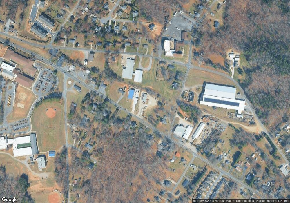
Map
Nearby Homes
- 212 Cassius Dr
- 208 Cassius Dr
- 228 Cassius Dr
- Dickenson Plan at Winecoff Village
- 222 Cassius Dr
- 210 Astor St
- 231 Cassius Dr
- Whitman Plan at Winecoff Village
- 206 Cassius Dr
- Crane Plan at Winecoff Village
- 224 Cassius Dr
- Frost Plan at Winecoff Village
- 207 Cassius Dr
- 236 Cassius Dr
- 505 Cedar St
- 340 Field Dr
- 214 Astor St
- 213 Cassius Dr
- 131 Autumn Leaf Rd
- 310 E Church St
- 369 S Main St
- 367 S Main St Unit 1
- 367 S Main St
- 355 S Main St Unit 1
- 355 S Main St
- 373 S Main St Unit 1
- 373 S Main St
- 373 S Main St Unit 3
- 110 Nathall Trail
- 0 S Main St Unit 3711796
- 0 S Main St Unit lot 2
- 345 S Main St
- 354 S Main St
- 107 Perry Rd
- 205 Perry Rd
- 344 S Main St
- 334 S Main St
- 366 S Eastway Dr
- Lot 1 Perry Rd
- 211 Perry Rd