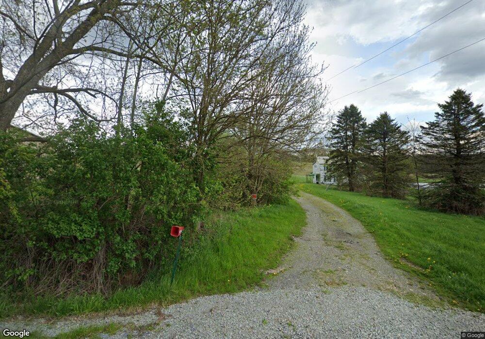
369 Shaffer Rd Indiana, PA 15701
Estimated Value: $512,000 - $552,737
4
Beds
2
Baths
1,824
Sq Ft
$292/Sq Ft
Est. Value
About This Home
This home is located at 369 Shaffer Rd, Indiana, PA 15701 and is currently estimated at $532,684, approximately $292 per square foot. 369 Shaffer Rd is a home located in Indiana County with nearby schools including United Elementary School, United Junior/Senior High School, and Breezy Lane School.
Ownership History
Date
Name
Owned For
Owner Type
Purchase Details
Closed on
Jun 17, 2025
Sold by
Rhine Thomas R and Shull Joyce
Bought by
Fabin Holdings Llc
Current Estimated Value
Home Financials for this Owner
Home Financials are based on the most recent Mortgage that was taken out on this home.
Original Mortgage
$257,950
Outstanding Balance
$257,281
Interest Rate
6.76%
Mortgage Type
Credit Line Revolving
Estimated Equity
$275,403
Purchase Details
Closed on
Apr 16, 2009
Sold by
Rhine Thelma Vensel
Bought by
Rhine Thelma Vensel and Rhine Thomas R
Create a Home Valuation Report for This Property
The Home Valuation Report is an in-depth analysis detailing your home's value as well as a comparison with similar homes in the area
Home Values in the Area
Average Home Value in this Area
Purchase History
| Date | Buyer | Sale Price | Title Company |
|---|---|---|---|
| Fabin Holdings Llc | $510,683 | None Listed On Document | |
| Rhine Thelma Vensel | -- | None Available |
Source: Public Records
Mortgage History
| Date | Status | Borrower | Loan Amount |
|---|---|---|---|
| Open | Fabin Holdings Llc | $257,950 |
Source: Public Records
Tax History Compared to Growth
Tax History
| Year | Tax Paid | Tax Assessment Tax Assessment Total Assessment is a certain percentage of the fair market value that is determined by local assessors to be the total taxable value of land and additions on the property. | Land | Improvement |
|---|---|---|---|---|
| 2025 | $7,594 | $427,400 | $291,000 | $136,400 |
| 2024 | $7,423 | $427,400 | $291,000 | $136,400 |
| 2023 | $7,081 | $427,400 | $291,000 | $136,400 |
| 2022 | $7,081 | $427,400 | $291,000 | $136,400 |
| 2021 | $7,081 | $427,400 | $291,000 | $136,400 |
| 2020 | $6,885 | $427,400 | $291,000 | $136,400 |
| 2018 | $6,885 | $427,400 | $291,000 | $136,400 |
| 2017 | $6,885 | $427,400 | $291,000 | $136,400 |
| 2016 | -- | $427,400 | $291,000 | $136,400 |
| 2015 | -- | $10,910 | $5,210 | $5,700 |
| 2014 | -- | $10,910 | $5,210 | $5,700 |
Source: Public Records
Map
Nearby Homes
- 5673 Route 56 Hwy E
- 1509 Ray Rd
- 1253 Aulds Run Rd
- 65 Old Mine Rd
- 29 Old Mine Rd
- 0 Deer Lane & Pine Ln Unit 3-16 96020709
- 0 Brittany Ln Unit 1721700
- 152 Coy St
- 4842 Lucerne Rd
- 2447 Luciusboro Rd
- 4769 Lucerne Rd
- 70 9th St
- 142 11th St
- 2231 Route 553 Hwy
- 0 Campbell St Unit 1719780
- 250 Yellowcreek St
- 79 Ridge Ave
- 42 Ridge Ave
- 0 Springfield Rd
- 214 S Main St
- 100 Shaffer Rd
- 598 Shaffer Rd
- 4243 Route 259 Hwy
- 4155 Route 259 Hwy
- 4531 Route 259 Hwy
- 4499 Route 259 Hwy
- 772 Shaffer Rd
- 4444 Route 259 Hwy
- 4625 Route 259 Hwy
- 4663 Route 259 Hwy
- 4689 Route 259 Hwy
- 4743 Route 259 Hwy
- 202 Hoffman Rd
- 4765 Route 259 Hwy
- 10 Brookdale Ln
- 4785 Route 259 Hwy
- 4785 Route 259 Hwy
- 4785 Route 259 Hwy
- 4785 Route 259 Hwy
- 292 Russell Rd