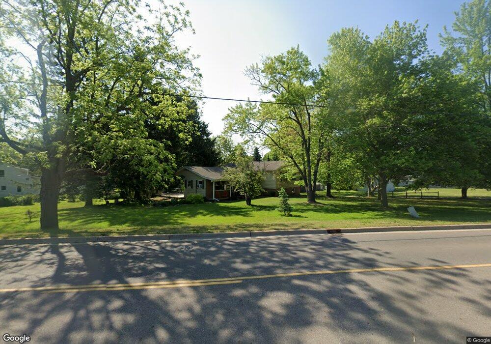
369 State St Charlotte, MI 48813
Estimated Value: $244,746 - $278,000
4
Beds
3
Baths
2,151
Sq Ft
$121/Sq Ft
Est. Value
About This Home
This home is located at 369 State St, Charlotte, MI 48813 and is currently estimated at $260,937, approximately $121 per square foot. 369 State St is a home located in Eaton County with nearby schools including Parkview Elementary School, Charlotte Middle School, and Charlotte Upper Elementary School.
Ownership History
Date
Name
Owned For
Owner Type
Purchase Details
Closed on
Dec 29, 2015
Sold by
Dack John D and Dack Ilene M
Bought by
Dack John D
Current Estimated Value
Purchase Details
Closed on
Mar 4, 2013
Sold by
Dack Ilene M
Bought by
Dack John D
Purchase Details
Closed on
Nov 11, 2004
Sold by
Weicht Steven D and Weicht Kimberly M
Bought by
Dack John D and Dack Ilene M
Home Financials for this Owner
Home Financials are based on the most recent Mortgage that was taken out on this home.
Original Mortgage
$152,000
Outstanding Balance
$76,257
Interest Rate
5.86%
Mortgage Type
Purchase Money Mortgage
Estimated Equity
$184,680
Create a Home Valuation Report for This Property
The Home Valuation Report is an in-depth analysis detailing your home's value as well as a comparison with similar homes in the area
Home Values in the Area
Average Home Value in this Area
Purchase History
| Date | Buyer | Sale Price | Title Company |
|---|---|---|---|
| Dack John D | -- | Attorney | |
| Dack John D | -- | None Available | |
| Dack John D | $152,000 | -- |
Source: Public Records
Mortgage History
| Date | Status | Borrower | Loan Amount |
|---|---|---|---|
| Open | Dack John D | $152,000 | |
| Closed | Dack John D | $152,000 |
Source: Public Records
Tax History
| Year | Tax Paid | Tax Assessment Tax Assessment Total Assessment is a certain percentage of the fair market value that is determined by local assessors to be the total taxable value of land and additions on the property. | Land | Improvement |
|---|---|---|---|---|
| 2025 | $3,879 | $117,800 | $0 | $0 |
| 2024 | $2,736 | $113,600 | $0 | $0 |
| 2023 | $2,576 | $102,500 | $0 | $0 |
| 2022 | $3,468 | $92,400 | $0 | $0 |
| 2021 | $3,325 | $85,300 | $0 | $0 |
| 2020 | $3,026 | $80,000 | $0 | $0 |
| 2019 | $2,977 | $72,434 | $0 | $0 |
| 2018 | $2,900 | $75,604 | $0 | $0 |
| 2017 | $2,983 | $66,221 | $0 | $0 |
| 2016 | -- | $66,439 | $0 | $0 |
| 2015 | -- | $64,793 | $0 | $0 |
| 2014 | -- | $62,364 | $0 | $0 |
| 2013 | -- | $62,100 | $0 | $0 |
Source: Public Records
Map
Nearby Homes
- 745 Cherry St
- 757 W Shepherd St
- 138 Pearl St
- 258 Bonnie Brook Dr Unit C12
- 1150 Porter Dr
- 122 E Shaw St
- 401 Oakwood Dr
- 0 Pinebluff Dr Parcel O Unit 258041
- 528 Foote St
- 116 E First St
- 218 S Oliver St
- 422 Oakwood Dr
- 420 E Henry St
- 327 E Lawrence Ave
- 809 Warren Ave
- 429 Sumpter St
- 1972 Carlisle Hwy
- 293 Vansickle Dr Unit 18
- 302 Vansickle Dr Unit 35
- 209 Beech St
Your Personal Tour Guide
Ask me questions while you tour the home.