Estimated Value: $199,000 - $241,000
3
Beds
1
Bath
1,064
Sq Ft
$207/Sq Ft
Est. Value
About This Home
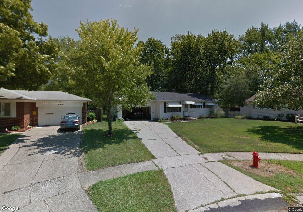
This home is located at 369 Sterling Cir, Berea, OH 44017 and is currently estimated at $220,298, approximately $207 per square foot. 369 Sterling Cir is a home located in Cuyahoga County with nearby schools including Grindstone Elementary School, Berea-Midpark Middle School, and Berea-Midpark High School.
Ownership History
Date
Name
Owned For
Owner Type
Purchase Details
Closed on
Jun 19, 2002
Sold by
Wayne Vickie
Bought by
Price Scott D and Price Holly A
Current Estimated Value
Home Financials for this Owner
Home Financials are based on the most recent Mortgage that was taken out on this home.
Original Mortgage
$132,850
Outstanding Balance
$56,410
Interest Rate
6.87%
Mortgage Type
VA
Estimated Equity
$163,888
Create a Home Valuation Report for This Property
The Home Valuation Report is an in-depth analysis detailing your home's value as well as a comparison with similar homes in the area
Home Values in the Area
Average Home Value in this Area
Purchase History
| Date | Buyer | Sale Price | Title Company |
|---|---|---|---|
| Price Scott D | $129,000 | -- |
Source: Public Records
Mortgage History
| Date | Status | Borrower | Loan Amount |
|---|---|---|---|
| Open | Price Scott D | $132,850 |
Source: Public Records
Tax History
| Year | Tax Paid | Tax Assessment Tax Assessment Total Assessment is a certain percentage of the fair market value that is determined by local assessors to be the total taxable value of land and additions on the property. | Land | Improvement |
|---|---|---|---|---|
| 2024 | $4,955 | $64,365 | $10,780 | $53,585 |
| 2023 | $3,841 | $49,570 | $9,420 | $40,150 |
| 2022 | $3,402 | $49,560 | $9,420 | $40,150 |
| 2021 | $3,373 | $49,560 | $9,420 | $40,150 |
| 2020 | $3,221 | $42,000 | $7,980 | $34,020 |
| 2019 | $4,180 | $120,000 | $22,800 | $97,200 |
| 2018 | $4,187 | $42,000 | $7,980 | $34,020 |
| 2017 | $4,298 | $42,980 | $6,790 | $36,190 |
| 2016 | $4,205 | $42,980 | $6,790 | $36,190 |
| 2015 | $10,688 | $42,980 | $6,790 | $36,190 |
| 2014 | $8,047 | $42,980 | $6,790 | $36,190 |
Source: Public Records
Map
Nearby Homes
- 388 Fairwood Cir
- 287 Edgewood Dr
- 300 West St
- 246 Kempton Dr
- 404 Crescent Dr
- 550 Race St
- 628 Lindbergh Blvd
- 216 Kraft St
- 549 Wyleswood Dr
- 647 Tampico Ct Unit 7
- 160 Marian Ln Unit 6A
- 146 Marian Ln
- 209 Gibson St
- 23002 Chandlers Ln Unit 223
- 23002 Chandlers Ln Unit 221
- 23155 Wainwright Terrace
- 211 W Bridge St
- 561 Brigton Dr
- 23004 Chandlers Ln Unit 4-344
- 23411 Grist Mill Ct Unit 2
Your Personal Tour Guide
Ask me questions while you tour the home.