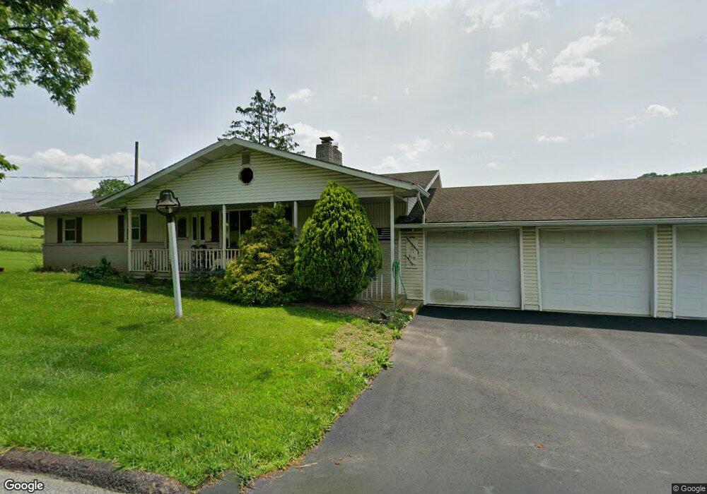
3691 Cedar Dr Walnutport, PA 18088
Estimated Value: $472,479 - $583,000
4
Beds
3
Baths
1,922
Sq Ft
$269/Sq Ft
Est. Value
About This Home
This home is located at 3691 Cedar Dr, Walnutport, PA 18088 and is currently estimated at $516,620, approximately $268 per square foot. 3691 Cedar Dr is a home located in Northampton County with nearby schools including Lehigh Elementary School, Northampton Area Middle School, and Northampton Area High School.
Ownership History
Date
Name
Owned For
Owner Type
Purchase Details
Closed on
Oct 15, 2010
Sold by
Beers Shirley A and Beers Joey A
Bought by
Beers Shirley A and Beers Joey A
Current Estimated Value
Home Financials for this Owner
Home Financials are based on the most recent Mortgage that was taken out on this home.
Original Mortgage
$102,250
Interest Rate
4.75%
Mortgage Type
FHA
Purchase Details
Closed on
Jul 7, 2010
Sold by
Beers Shirley A
Bought by
Beers Shirley A and Beers Joey A
Create a Home Valuation Report for This Property
The Home Valuation Report is an in-depth analysis detailing your home's value as well as a comparison with similar homes in the area
Home Values in the Area
Average Home Value in this Area
Purchase History
| Date | Buyer | Sale Price | Title Company |
|---|---|---|---|
| Beers Shirley A | -- | None Available | |
| Beers Shirley A | -- | None Available |
Source: Public Records
Mortgage History
| Date | Status | Borrower | Loan Amount |
|---|---|---|---|
| Closed | Beers Shirley A | $102,250 |
Source: Public Records
Tax History
| Year | Tax Paid | Tax Assessment Tax Assessment Total Assessment is a certain percentage of the fair market value that is determined by local assessors to be the total taxable value of land and additions on the property. | Land | Improvement |
|---|---|---|---|---|
| 2025 | $1,148 | $106,300 | $20,200 | $86,100 |
| 2024 | $7,814 | $106,300 | $20,200 | $86,100 |
| 2023 | $7,676 | $106,300 | $20,200 | $86,100 |
| 2022 | $7,676 | $106,300 | $20,200 | $86,100 |
| 2021 | $7,695 | $106,300 | $20,200 | $86,100 |
| 2020 | $7,695 | $106,300 | $20,200 | $86,100 |
| 2019 | $7,582 | $106,300 | $20,200 | $86,100 |
| 2018 | $7,470 | $106,300 | $20,200 | $86,100 |
| 2017 | $7,307 | $106,300 | $20,200 | $86,100 |
| 2016 | -- | $106,300 | $20,200 | $86,100 |
| 2015 | -- | $106,300 | $20,200 | $86,100 |
| 2014 | -- | $106,300 | $20,200 | $86,100 |
Source: Public Records
Map
Nearby Homes
- 3489 W Walker Rd
- 621 Bishops Place
- 723 Fir Dr
- 0 Mountain View Dr Unit 769079
- 3749 Mountain View Dr
- 3752 Redbud Dr
- 656 Creek Rd
- 0 Olive Rd
- 501 Creek Rd
- 3401 Popular Dr
- 3449 Franklin Square
- 3604 Belfry Rd
- 322 Walnut Dr
- 1357 N Cottonwood Rd
- 4119 Butternut Dr
- 386 Pool Rd
- 4083 W Mountain View Dr
- Preakness Plan at The Enclave at Bushkill
- Juniper Plan at The Enclave at Bushkill
- Breckenridge Grande Plan at The Enclave at Bushkill
- 3646 Cedar Dr
- 3703 Cedar Dr
- 3700 Cedar Dr
- 3710 Cedar Dr
- 3717 Cedar Dr
- 3711 Cedar Dr
- 3725 Cedar Dr
- 3720 Cedar Dr
- 3642 Cedar Dr
- 3729 Cedar Dr
- 3722 Cedar Dr
- 3733 Cedar Dr
- 0 Beech Dr Unit Lot 1 727642
- 0 Beech Dr Unit 3 727743
- 0 Beech Dr Unit 2 727742
- 3699 Beech Dr
- 3556 Cedar Dr
- 3549 Cedar Dr
- 0 N Cottonwood Rd Unit 727629
- 3611 Beech Dr
Your Personal Tour Guide
Ask me questions while you tour the home.