3692 Central Pacific Trail Unit 35 Park City, UT 84098
Estimated Value: $3,840,000 - $7,381,040
--
Bed
--
Bath
--
Sq Ft
1.47
Acres
About This Home
This home is located at 3692 Central Pacific Trail Unit 35, Park City, UT 84098 and is currently estimated at $5,865,013. 3692 Central Pacific Trail Unit 35 is a home located in Summit County with nearby schools including North Summit Middle School, North Summit Elementary School, and North Summit High School.
Ownership History
Date
Name
Owned For
Owner Type
Purchase Details
Closed on
Aug 13, 2021
Sold by
Tandrupd Lars and Tandrup Lars Christian
Bought by
Tandrup Lars and Tandrup Ulla
Current Estimated Value
Purchase Details
Closed on
Sep 25, 2020
Sold by
Trowbridge Ronald G
Bought by
Tandrup Lars Christian
Purchase Details
Closed on
Jul 29, 2010
Sold by
Zions First National Bank
Bought by
Trowbridge Ronald G
Purchase Details
Closed on
Jan 6, 2010
Sold by
Giordano Gabriel
Bought by
Zions First National Bank
Purchase Details
Closed on
Jul 2, 2007
Sold by
Pivotal Promontory Development Llc
Bought by
Giordano Gabriel
Home Financials for this Owner
Home Financials are based on the most recent Mortgage that was taken out on this home.
Original Mortgage
$720,000
Interest Rate
6.41%
Mortgage Type
Purchase Money Mortgage
Create a Home Valuation Report for This Property
The Home Valuation Report is an in-depth analysis detailing your home's value as well as a comparison with similar homes in the area
Home Values in the Area
Average Home Value in this Area
Purchase History
| Date | Buyer | Sale Price | Title Company |
|---|---|---|---|
| Tandrup Lars | -- | None Available | |
| Tandrup Lars Christian | -- | Metro National Title | |
| Trowbridge Ronald G | -- | -- | |
| Zions First National Bank | $235,688 | -- | |
| Giordano Gabriel | -- | Summit Escrow & Title |
Source: Public Records
Mortgage History
| Date | Status | Borrower | Loan Amount |
|---|---|---|---|
| Previous Owner | Giordano Gabriel | $720,000 |
Source: Public Records
Tax History Compared to Growth
Tax History
| Year | Tax Paid | Tax Assessment Tax Assessment Total Assessment is a certain percentage of the fair market value that is determined by local assessors to be the total taxable value of land and additions on the property. | Land | Improvement |
|---|---|---|---|---|
| 2022 | $4,803 | $359,400 | $359,400 | $0 |
| 2021 | $2,770 | $359,400 | $359,400 | $0 |
| 2020 | $2,961 | $359,400 | $359,400 | $0 |
| 2019 | $3,478 | $376,900 | $376,900 | $0 |
| 2018 | $3,478 | $376,900 | $376,900 | $0 |
| 2017 | $3,365 | $376,900 | $376,900 | $0 |
| 2016 | $3,905 | $408,400 | $408,400 | $0 |
| 2015 | $3,750 | $373,500 | $0 | $0 |
| 2013 | $4,555 | $430,940 | $0 | $0 |
Source: Public Records
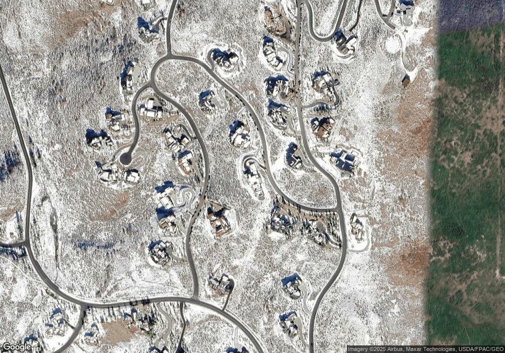
Map
Nearby Homes
- 3287 Central Pacific Trail Unit 4
- 3287 Central Pacific Trail
- 9158 N Promontory Summit Dr
- 8794 Silver Light Ln Unit 47
- 8794 Silver Light Ln
- 3092 Crosstie Ct Unit 16A
- 3092 Crosstie Ct
- 3172 E Wapiti Canyon Rd
- 3228 E Wapiti Canyon Rd Unit 54
- 3228 E Wapiti Canyon Rd
- 3058 E Wapiti Canyon Rd
- 9021 N Promontory Ridge Dr Unit 43
- 9021 N Promontory Ridge Dr
- 3023 E Wapiti Canyon Rd
- 9869 N Hidden Hill Loop
- 9869 N Hidden Hill Loop Unit 2
- 3320 E Wapiti Canyon Rd
- 8806 Sun Spark Ct Unit 57
- 8806 Sun Spark Ct
- 3376 Wapiti Canyon Rd
- 3692 Central Pacific Trail
- 3692 Central Pacific Trail Unit 35
- 3255 Central Pacific Trail
- 3324 Central Pacific Trail
- 3324 Central Pacific Trail Unit 24
- 3724 Central Pacific Trail
- 3622 Central Pacific Trail
- 3622 Central Pacific Trail Unit 23
- 9263 N Promontory Summit Dr
- 9263 N Promontory Summit Dr Unit 36
- 9353 Promontory Summit Dr
- 3287 Central Pacific Trail
- 3287 Central Pacific Trail
- 3287 Central Pacific Trail Unit 4
- 3609 Central Pacific Trail Unit 38
- 3609 Central Pacific Trail
- 3339 Central Pacific Trail
- 9223 Promontory Summit Dr
- 9284 N Promontory Summit Dr Unit 52
- 9284 N Promontory Summit Dr