3693 Back Acre Rd Everson, WA 98247
Estimated Value: $784,000 - $886,577
4
Beds
3
Baths
2,268
Sq Ft
$368/Sq Ft
Est. Value
About This Home
This home is located at 3693 Back Acre Rd, Everson, WA 98247 and is currently estimated at $835,144, approximately $368 per square foot. 3693 Back Acre Rd is a home located in Whatcom County with nearby schools including Mount Baker Senior High School.
Ownership History
Date
Name
Owned For
Owner Type
Purchase Details
Closed on
Jun 12, 2004
Sold by
Williamson Mark Allen and Williamson Anna Lee
Bought by
Kronlund Brandon D and Kronlund Michelle M
Current Estimated Value
Home Financials for this Owner
Home Financials are based on the most recent Mortgage that was taken out on this home.
Original Mortgage
$220,400
Outstanding Balance
$99,966
Interest Rate
5.25%
Mortgage Type
Purchase Money Mortgage
Estimated Equity
$735,178
Create a Home Valuation Report for This Property
The Home Valuation Report is an in-depth analysis detailing your home's value as well as a comparison with similar homes in the area
Purchase History
| Date | Buyer | Sale Price | Title Company |
|---|---|---|---|
| Kronlund Brandon D | $275,500 | Chicago Title Insurance |
Source: Public Records
Mortgage History
| Date | Status | Borrower | Loan Amount |
|---|---|---|---|
| Open | Kronlund Brandon D | $220,400 | |
| Closed | Kronlund Brandon D | $41,325 |
Source: Public Records
Tax History
| Year | Tax Paid | Tax Assessment Tax Assessment Total Assessment is a certain percentage of the fair market value that is determined by local assessors to be the total taxable value of land and additions on the property. | Land | Improvement |
|---|---|---|---|---|
| 2025 | $7,452 | $1,072,377 | $345,885 | $726,492 |
| 2024 | $6,657 | $939,442 | $342,460 | $596,982 |
| 2023 | $6,657 | $900,203 | $323,154 | $577,049 |
| 2022 | $5,786 | $737,854 | $264,874 | $472,980 |
| 2021 | $5,230 | $595,038 | $213,606 | $381,432 |
| 2020 | $4,822 | $504,268 | $181,022 | $323,246 |
| 2019 | $4,291 | $444,298 | $159,494 | $284,804 |
| 2018 | $4,172 | $428,362 | $153,773 | $274,589 |
| 2017 | $3,779 | $324,994 | $131,381 | $193,613 |
| 2016 | $3,637 | $313,710 | $126,819 | $186,891 |
| 2015 | $3,359 | $299,604 | $121,117 | $178,487 |
| 2014 | -- | $282,113 | $114,046 | $168,067 |
| 2013 | -- | $282,113 | $114,046 | $168,067 |
Source: Public Records
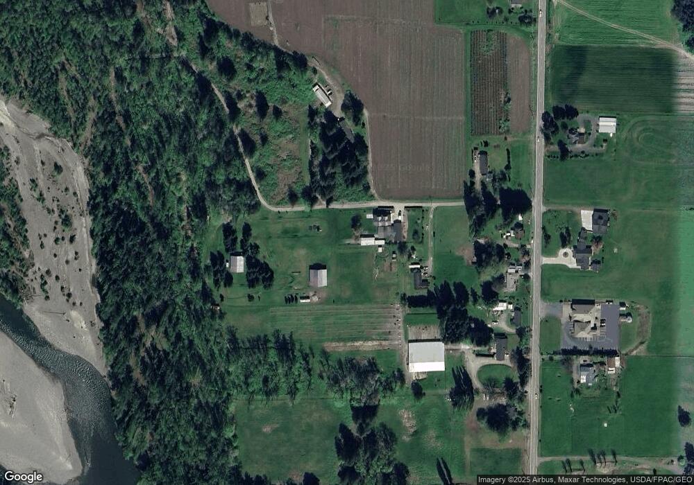
Map
Nearby Homes
- 5947 Lawrence Rd
- 5544 Sand Rd
- 3025 E Smith Rd
- 5196 Sand Rd
- 7019 Mount Baker Hwy
- 0 Mt Baker Hwy Unit NWM2371192
- 0 Mt Baker Hwy Unit NWM2230071
- 3395 Mack Rd
- 2200 E Smith Rd
- 3090 Cole Rd
- 5818 Everson Goshen Rd
- 2495 River Rock Dr
- 2571 E Smith Rd
- 3037 Massey Rd
- 7406 Oat Coles Rd
- 0 Massey Rd Unit NWM2402070
- 7554 Nooksack Rd
- 800 Cedar Dr
- 5539 Noon Rd
- 1817 Central Rd
- 3695 Back Acre Rd
- 3626 Back Acre Rd
- 5691 Lawrence Rd
- 5683 Lawrence Rd
- 5665 Lawrence Rd
- 5659 Lawrence Rd
- 5690 Lawrence Rd
- 5712 Lawrence Rd
- 5643 Lawrence Rd
- 5640 Lawrence Rd
- 5753 Lawrence Rd
- 5619 Lawrence Rd
- 0 E 3741e Hoff Rd
- 3704 Mt Baker Hwy
- 3708 Mt Baker Hwy
- 3774 Mt Baker Hwy
- 3706 Mt Baker Hwy
- 3770 Mt Baker Hwy
- 5626 Lawrence Rd
- 3710 Mount Baker Hwy
Your Personal Tour Guide
Ask me questions while you tour the home.