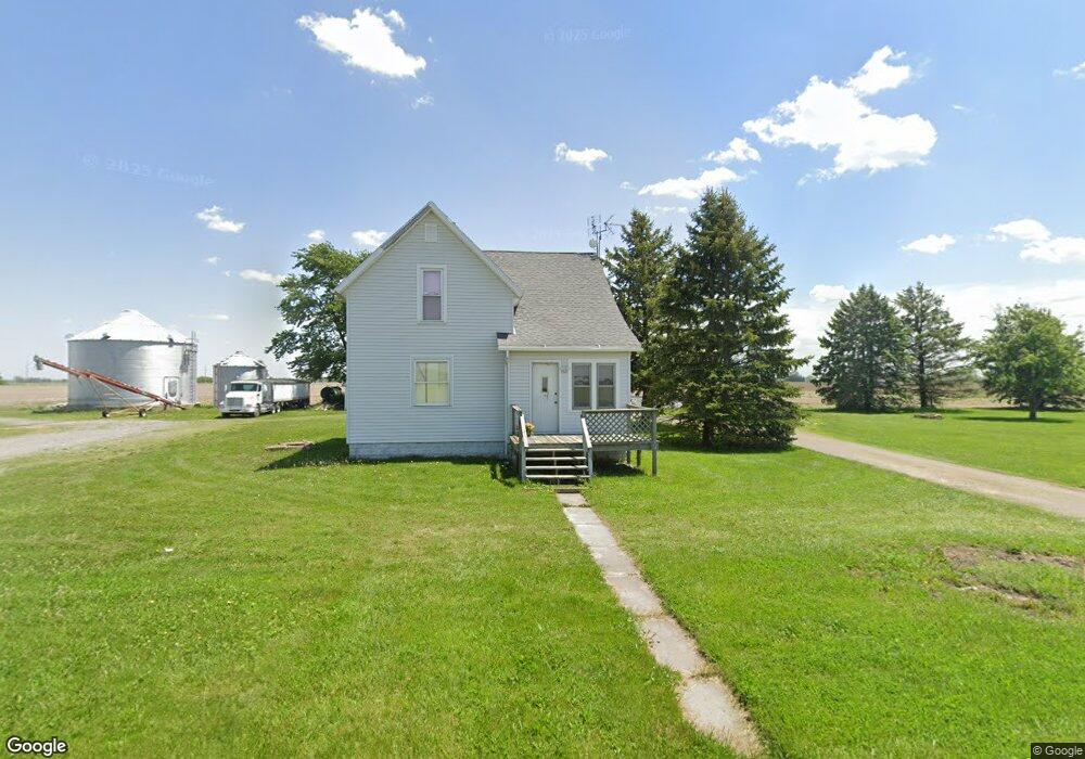
3693 Doner Rd Middle Point, OH 45863
Estimated Value: $163,634 - $208,000
4
Beds
1
Bath
1,928
Sq Ft
$98/Sq Ft
Est. Value
About This Home
This home is located at 3693 Doner Rd, Middle Point, OH 45863 and is currently estimated at $189,659, approximately $98 per square foot. 3693 Doner Rd is a home located in Van Wert County with nearby schools including Lincolnview Elementary School and Lincolnview Junior/Senior High School.
Ownership History
Date
Name
Owned For
Owner Type
Purchase Details
Closed on
Jan 19, 2016
Sold by
Long Debra L and Johns Debra L
Bought by
Horstman Patrick J and Horstman Jill M
Current Estimated Value
Home Financials for this Owner
Home Financials are based on the most recent Mortgage that was taken out on this home.
Original Mortgage
$106,500
Outstanding Balance
$64,427
Interest Rate
3.93%
Mortgage Type
Adjustable Rate Mortgage/ARM
Estimated Equity
$125,232
Purchase Details
Closed on
Jan 22, 2001
Bought by
Horstman Patrick J and Horstman Jill M
Create a Home Valuation Report for This Property
The Home Valuation Report is an in-depth analysis detailing your home's value as well as a comparison with similar homes in the area
Purchase History
| Date | Buyer | Sale Price | Title Company |
|---|---|---|---|
| Horstman Patrick J | $91,000 | Attorney | |
| Horstman Patrick J | $91,000 | -- | |
| Horstman Patrick J | $91,000 | -- |
Source: Public Records
Mortgage History
| Date | Status | Borrower | Loan Amount |
|---|---|---|---|
| Open | Horstman Patrick J | $106,500 |
Source: Public Records
Tax History Compared to Growth
Tax History
| Year | Tax Paid | Tax Assessment Tax Assessment Total Assessment is a certain percentage of the fair market value that is determined by local assessors to be the total taxable value of land and additions on the property. | Land | Improvement |
|---|---|---|---|---|
| 2024 | $1,459 | $44,990 | $9,380 | $35,610 |
| 2023 | $1,448 | $44,990 | $9,380 | $35,610 |
| 2022 | $1,490 | $33,990 | $7,320 | $26,670 |
| 2021 | $1,472 | $33,990 | $7,320 | $26,670 |
| 2020 | $1,468 | $33,990 | $7,320 | $26,670 |
| 2019 | $1,239 | $30,930 | $6,430 | $24,500 |
| 2018 | $1,224 | $30,930 | $6,430 | $24,500 |
| 2017 | $1,208 | $30,930 | $6,430 | $24,500 |
| 2016 | $981 | $28,230 | $6,020 | $22,210 |
| 2015 | $941 | $28,230 | $6,020 | $22,210 |
| 2014 | $988 | $28,520 | $6,020 | $22,500 |
| 2013 | $1,187 | $28,520 | $6,020 | $22,500 |
Source: Public Records
Map
Nearby Homes
- 17089 Feasby Wisener Rd
- 0 Road 28
- 19357 Church Rd
- 100 N Maple St
- 26267 Road R
- 18251 Road 48
- 130 N East Canal St
- TBD Dog Creek Rd
- 0 Heritage Cir Unit 6112034
- 0 Heritage Cir Unit 303239
- 112 W Railroad St
- 1131 Sheridan St
- 1067 College Ave
- TBD Mendon Rd
- 12919 State Route 114
- 692 N Market St
- 142 Gleason Ave
- 115 S Vine St
- 205 N Chestnut St
- 227 N Race St
- 3868 Doner Rd
- 18972 Wetzel Rd
- 19159 Wetzel Rd
- 18812 Wetzel Rd
- 19385 Dog Creek Rd
- 19351 Wetzel Rd
- 3726 Dog Creek Rd
- 19487 Wetzel Rd
- 4034 Dog Creek Rd
- 18452 Wetzel Rd
- 4080 Mosier Rd
- 4464 Doner Rd
- 19649 Wetzel Rd
- 4248 Mosier Rd
- 4314 Mosier Rd
- 18270 Wetzel Rd
- 18593 Feasby Wisener Rd
- 19128 Hessian Rd
- 4536 Dog Creek Rd
- 19654 Feasby Wisener Rd