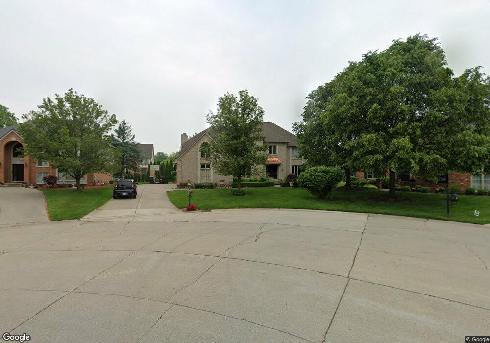
3693 Edinborough Dr Rochester Hills, MI 48306
Estimated Value: $701,317 - $840,000
4
Beds
4
Baths
4,115
Sq Ft
$186/Sq Ft
Est. Value
About This Home
This home is located at 3693 Edinborough Dr, Rochester Hills, MI 48306 and is currently estimated at $764,329, approximately $185 per square foot. 3693 Edinborough Dr is a home located in Oakland County with nearby schools including Musson Elementary School, Van Hoosen Middle School, and Rochester Adams High School.
Ownership History
Date
Name
Owned For
Owner Type
Purchase Details
Closed on
Apr 21, 2023
Sold by
Busch John and Busch Laura
Bought by
Busch Family Trust
Current Estimated Value
Purchase Details
Closed on
Jul 16, 2007
Sold by
Raft Harry and Hohnholt Holly
Bought by
Busch John and Busch Laura
Home Financials for this Owner
Home Financials are based on the most recent Mortgage that was taken out on this home.
Original Mortgage
$277,600
Interest Rate
6.71%
Mortgage Type
New Conventional
Purchase Details
Closed on
Mar 16, 2005
Sold by
Carozza Peter M and Carozza Deborah R
Bought by
Raft Harry
Home Financials for this Owner
Home Financials are based on the most recent Mortgage that was taken out on this home.
Original Mortgage
$300,000
Interest Rate
5.61%
Mortgage Type
Purchase Money Mortgage
Create a Home Valuation Report for This Property
The Home Valuation Report is an in-depth analysis detailing your home's value as well as a comparison with similar homes in the area
Home Values in the Area
Average Home Value in this Area
Purchase History
| Date | Buyer | Sale Price | Title Company |
|---|---|---|---|
| Busch Family Trust | -- | None Listed On Document | |
| Busch John | $347,000 | Garrow Title Agency | |
| Raft Harry | $475,000 | -- |
Source: Public Records
Mortgage History
| Date | Status | Borrower | Loan Amount |
|---|---|---|---|
| Previous Owner | Busch John | $277,600 | |
| Previous Owner | Raft Harry | $300,000 |
Source: Public Records
Tax History Compared to Growth
Tax History
| Year | Tax Paid | Tax Assessment Tax Assessment Total Assessment is a certain percentage of the fair market value that is determined by local assessors to be the total taxable value of land and additions on the property. | Land | Improvement |
|---|---|---|---|---|
| 2022 | $3,548 | $246,660 | $0 | $0 |
| 2018 | $5,881 | $229,010 | $0 | $0 |
| 2017 | $5,763 | $226,500 | $0 | $0 |
| 2015 | -- | $215,090 | $0 | $0 |
| 2014 | -- | $197,330 | $0 | $0 |
| 2011 | -- | $163,330 | $0 | $0 |
Source: Public Records
Map
Nearby Homes
- 3674 Merriweather Ln
- 1906 Independence Ct
- 3273 Salem Dr
- 3633 Thornwood Dr
- 5700 Rolling Hills Dr
- 3640 Camden Ct
- 3634 Camden Ct
- 1609 Kilburn Rd N
- 2935 Woodford Cir
- 4035 Hillsdale Dr Unit 275
- 3534 Riverside Dr Unit 141
- 5826 Murfield Dr
- 3185 Saint James Ct
- 3879 Teakwood Ln
- 5724 Murfield Dr
- 2700 Mohawk Ln
- 423 Silvervale Dr
- 2821 Addison Cir S
- 3582 Tremonte Cir S Unit 276
- 3577 Oakmonte Blvd
- 3689 Edinborough Dr
- 3697 Edinborough Dr
- 3661 Merriweather Ln
- 3667 Merriweather Ln
- 3655 Merriweather Ln
- 3685 Edinborough Dr
- 3701 Edinborough Dr
- 1761 Old Homestead Dr
- 3673 Merriweather Ln
- 1769 Old Homestead Dr
- 1749 Old Homestead Dr
- 3680 Edinborough Dr
- 1791 Old Homestead Dr
- 3679 Merriweather Ln
- 3681 Edinborough Dr
- 1741 Old Homestead Dr
- 3707 Edinborough Dr
- 3702 Edinborough Dr
- 3662 Merriweather Ln
- 1729 Old Homestead Dr