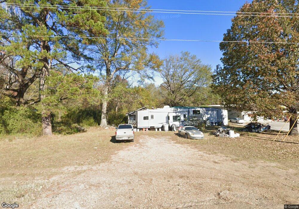
3694 Highway 2 Farmerville, LA 71241
Estimated Value: $90,948 - $148,000
2
Beds
1
Bath
1,004
Sq Ft
$125/Sq Ft
Est. Value
About This Home
This home is located at 3694 Highway 2, Farmerville, LA 71241 and is currently estimated at $125,237, approximately $124 per square foot. 3694 Highway 2 is a home located in Union Parish with nearby schools including Union Parish 6th Grade Center.
Ownership History
Date
Name
Owned For
Owner Type
Purchase Details
Closed on
Feb 28, 2005
Sold by
St Clair Melanie Montgomery
Bought by
Bourdeon Christopher and Bourdeon Jennifer Sheppard
Current Estimated Value
Home Financials for this Owner
Home Financials are based on the most recent Mortgage that was taken out on this home.
Original Mortgage
$55,500
Outstanding Balance
$28,323
Interest Rate
5.71%
Mortgage Type
New Conventional
Estimated Equity
$96,914
Create a Home Valuation Report for This Property
The Home Valuation Report is an in-depth analysis detailing your home's value as well as a comparison with similar homes in the area
Home Values in the Area
Average Home Value in this Area
Purchase History
| Date | Buyer | Sale Price | Title Company |
|---|---|---|---|
| Bourdeon Christopher | $55,500 | None Available |
Source: Public Records
Mortgage History
| Date | Status | Borrower | Loan Amount |
|---|---|---|---|
| Open | Bourdeon Christopher | $55,500 |
Source: Public Records
Tax History Compared to Growth
Tax History
| Year | Tax Paid | Tax Assessment Tax Assessment Total Assessment is a certain percentage of the fair market value that is determined by local assessors to be the total taxable value of land and additions on the property. | Land | Improvement |
|---|---|---|---|---|
| 2024 | -- | $4,826 | $850 | $3,976 |
| 2023 | $0 | $4,001 | $725 | $3,276 |
| 2022 | $54 | $4,001 | $725 | $3,276 |
| 2021 | $60 | $4,001 | $725 | $3,276 |
| 2020 | $60 | $4,001 | $725 | $3,276 |
| 2019 | $58 | $3,257 | $400 | $2,857 |
| 2018 | $0 | $3,257 | $400 | $2,857 |
| 2017 | $0 | $3,257 | $400 | $2,857 |
| 2016 | -- | $3,257 | $400 | $2,857 |
| 2015 | -- | $3,471 | $350 | $3,121 |
| 2014 | -- | $3,470 | $350 | $3,120 |
| 2013 | $237 | $3,470 | $350 | $3,120 |
Source: Public Records
Map
Nearby Homes
- 9297 Highway 143 Unit 9301 HIGHWAY 143
- 000 Ferry Rd Unit 80 acres
- 000 Ferry Rd Unit 39.6
- 000 Ferry Rd Unit 38.5 Acres
- 109 Albert Smith Rd
- 0 Richardson Rd
- 779 Rocky Branch Rd
- 239 John Haye Rd
- 280 Carter Rd
- 000 Dan Acree Rd Unit Tract 3
- Albritton Rd
- 492 Littleton Loop
- Lot 38 N Spillway Rd
- Lot 51 N Spillway Rd
- Lots 51 & 52 N Spillway Rd
- Lot 52 N Spillway Rd
- 284 Wildwood Dr
- 157 Upsey Downsey Rd
- 169 Upsey Downsey Rd
- 213 Bobbie Dr
- 3694 Highway 2
- 4545 Highway 2
- 4513 Highway 2
- 190 Mashaw Dr
- 142 Mashaw Dr
- 130 Mashaw Dr
- 614 W Port Union Rd
- 680 W Port Union Rd
- 614 W Port Union Rd
- 634 W Port Union Rd
- 615 W Port Union Rd
- 147 Mashaw Dr
- 4473 Highway 2
- 4488 Highway 2
- 4488 Highway 2
- 177 Duke Nolan Rd
- 4516 Highway 2
- 4532 Highway 2
- 4640 Highway 2
- 118 Duke Nolan Rd