3694 Roanoke Rd Lagrange, GA 30240
Estimated Value: $247,000 - $326,000
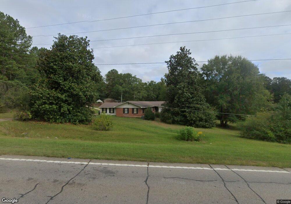
About This Home
This home is located at 3694 Roanoke Rd, Lagrange, GA 30240 and is currently estimated at $275,798, approximately $124 per square foot. 3694 Roanoke Rd is a home located in Troup County with nearby schools including Ethel W. Kight Elementary School, Hollis Hand Elementary School, and Franklin Forest Elementary School.
Ownership History
We collect this data history from publicly available records. To have your information removed, we recommend requesting removal directly through your county’s website.
Purchase Details
Purchase Details
Purchase Details
Purchase Details
Purchase Details
Purchase Details
Purchase Details
Purchase Details
Purchase History
We collect this data history from publicly available records. To have your information removed, we recommend requesting removal directly through your county’s website.
| Date | Buyer | Sale Price | Title Company |
|---|---|---|---|
| -- | -- | ||
| $84,500 | -- | ||
| $70,000 | -- | ||
| -- | -- | ||
| -- | -- | ||
| $5,000 | -- | ||
| -- | -- | ||
| -- | -- | ||
| -- | -- |
Tax History
We collect this data history from publicly available records. To have your information removed, we recommend requesting removal directly through your county’s website.
| Year | Tax Paid | Tax Assessment Tax Assessment Total Assessment is a certain percentage of the fair market value that is determined by local assessors to be the total taxable value of land and additions on the property. | Land | Improvement |
|---|---|---|---|---|
| 2025 | $1,293 | $79,968 | $12,880 | $67,088 |
| 2024 | $1,119 | $70,088 | $12,880 | $57,208 |
| 2023 | $451 | $63,488 | $12,880 | $50,608 |
| 2022 | $872 | $59,848 | $12,880 | $46,968 |
| 2021 | $525 | $46,132 | $10,440 | $35,692 |
| 2020 | $1,091 | $46,132 | $10,440 | $35,692 |
| 2019 | $1,129 | $47,400 | $10,440 | $36,960 |
| 2018 | $1,029 | $44,068 | $10,440 | $33,628 |
| 2017 | $1,029 | $44,068 | $10,440 | $33,628 |
| 2016 | $998 | $43,035 | $10,446 | $32,589 |
| 2015 | $999 | $43,035 | $10,446 | $32,589 |
| 2014 | $947 | $41,319 | $10,446 | $30,873 |
| 2013 | -- | $42,694 | $10,446 | $32,248 |
Map
- LOT 3 Post Oak Dr
- 105 + - Acres On McCosh Mill Rd
- 0 Deming St Unit 10550189
- 4.5 ACRES Whatley Rd N
- 102 Mckinley Cir
- 106 Mckinley Cir
- 506 Riverside Dr
- 103 Dogwood Ct
- 134 N Lake Dr
- 213 Linda Ln
- 104 Dogwood Point
- 110 Thomas Dr
- 1017 Riverside Dr
- 82 Newton Rd
- 4004 White Oak Ln
- 62 Maley Rd
- 6 Hastings Ct
- 36 Hill Rd
- 20 Hill Rd
- 116 Wilson Creek Dr
- 0 Old Mill Pond Unit 6 7569523
- 3654 Roanoke Rd
- 0 Lakeland Dr Unit LOT 56 7353808
- 108 Meadownland Trail
- 4.51 ACRES Whatley Rd N
- 129 Angela East Dr
- 10 101 N Lafayette Square
- 107 Gardenia Ln Unit 107B
- 107 Gardenia Ln Unit 107A
- 45 Orbit Unit 418
- N. Whatley Rd
- 1000 Onewall St St
- 892 Baughs Cross Rd
- LOT 2 Waterview Dr
- 149 Riverside Dr
- 1405, 1407,1411 Hamilton St
- 304 AC Liberty Hill Rd
- 54 Old Pyne Rd
- 3740 Roanoke Rd
- 13 Bailey Rd
Ask me questions while you tour the home.