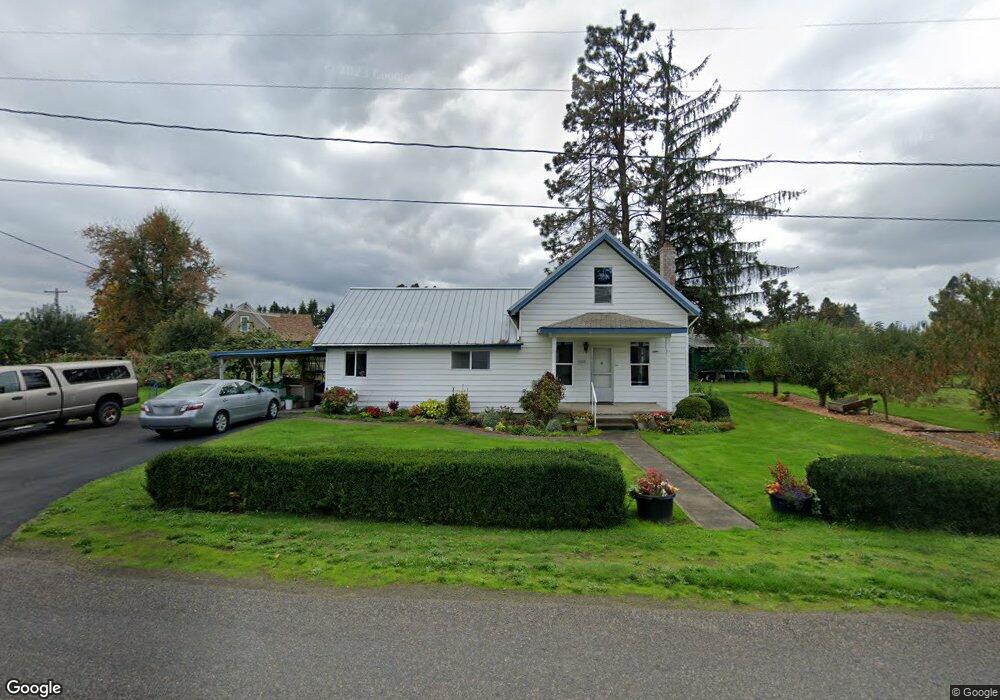
36945 S Nowlens Bridge Rd Molalla, OR 97038
Estimated Value: $437,419 - $740,000
3
Beds
1
Bath
1,569
Sq Ft
$350/Sq Ft
Est. Value
About This Home
This home is located at 36945 S Nowlens Bridge Rd, Molalla, OR 97038 and is currently estimated at $548,605, approximately $349 per square foot. 36945 S Nowlens Bridge Rd is a home located in Clackamas County with nearby schools including Butte Creek Elementary School and Silverton High School.
Ownership History
Date
Name
Owned For
Owner Type
Purchase Details
Closed on
Jun 25, 1999
Sold by
Clackamas County
Bought by
Miller Steven D
Current Estimated Value
Home Financials for this Owner
Home Financials are based on the most recent Mortgage that was taken out on this home.
Original Mortgage
$11,355
Outstanding Balance
$3,168
Interest Rate
8%
Mortgage Type
Land Contract Argmt. Of Sale
Estimated Equity
$545,437
Purchase Details
Closed on
Jun 1, 1993
Bought by
Miller Ronald J and Miller Elva
Create a Home Valuation Report for This Property
The Home Valuation Report is an in-depth analysis detailing your home's value as well as a comparison with similar homes in the area
Home Values in the Area
Average Home Value in this Area
Purchase History
| Date | Buyer | Sale Price | Title Company |
|---|---|---|---|
| Miller Steven D | $14,355 | First American Title Co | |
| Miller Ronald J | -- | -- |
Source: Public Records
Mortgage History
| Date | Status | Borrower | Loan Amount |
|---|---|---|---|
| Open | Miller Steven D | $11,355 |
Source: Public Records
Tax History Compared to Growth
Tax History
| Year | Tax Paid | Tax Assessment Tax Assessment Total Assessment is a certain percentage of the fair market value that is determined by local assessors to be the total taxable value of land and additions on the property. | Land | Improvement |
|---|---|---|---|---|
| 2025 | $2,214 | $173,194 | -- | -- |
| 2024 | $2,159 | $168,150 | -- | -- |
| 2023 | $2,159 | $163,253 | $0 | $0 |
| 2022 | $2,052 | $158,499 | $0 | $0 |
| 2021 | $1,965 | $153,883 | $0 | $0 |
| 2020 | $1,920 | $149,401 | $0 | $0 |
| 2019 | $1,860 | $145,050 | $0 | $0 |
| 2018 | $1,813 | $140,825 | $0 | $0 |
| 2017 | $1,773 | $136,723 | $0 | $0 |
| 2016 | $1,716 | $132,741 | $0 | $0 |
| 2015 | $1,664 | $128,875 | $0 | $0 |
| 2014 | $1,620 | $125,121 | $0 | $0 |
Source: Public Records
Map
Nearby Homes
- 37658 S Highway 213
- 37486 S Highway 213 (Adj To)
- 37486 S Hwy 213 (Adj To)
- 36175 S Highway 213
- 8438 Cascade Hwy NE
- 9924 S Wildcat Rd
- 10285 S Rosewood Way
- 0 Crooked Finger Rd NE Unit 827344
- 0 Crooked Finger Rd NE Unit 265826977
- Lot 1600 Crooked Finger Rd NE
- 000 Crooked Finger Rd NE
- 0 Off of Crooked Finge Rd
- 35267 S Acer Ln
- 7138 Grandview Ave
- 7118 Grandview Ave
- 0 Hazelnut Ridge Rd
- 0 Address Undisclosed NE Unit 834166
- 17576 Abiqua Rd NE
- 15215 Woodburn Monitor Rd NE
- 6627 Mary Ln NE
- 8944 S Wildcat Rd
- 36957 S Nowlens Bridge Rd
- 36901 S Nowlens Bridge Rd
- 36880 S Highway 213
- 36864 S Highway 213
- 36903 S Highway 213
- 36887 S Highway 213
- 36960 S Nowlens Bridge Rd
- 36937 S Highway 213
- 36950 S Highway 213
- 36902 S Kropf Rd
- 37031 S Nowlens Bridge Rd
- 36975 S Highway 213
- 36971 S Highway 213
- 8693 S Drake Rd NE
- 36793 S Kropf Rd
- 36728 S Kropf Rd
- 37029 S Highway 213
- 8640 S Drake Rd NE
- 36740 S Kropf Rd