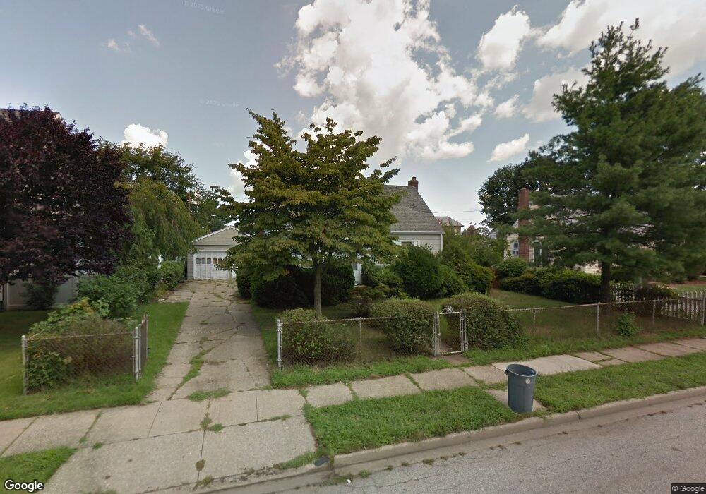
3695 Condor Rd Levittown, NY 11756
Estimated Value: $540,000 - $733,435
4
Beds
2
Baths
1,075
Sq Ft
$592/Sq Ft
Est. Value
About This Home
This home is located at 3695 Condor Rd, Levittown, NY 11756 and is currently estimated at $636,718, approximately $592 per square foot. 3695 Condor Rd is a home located in Nassau County with nearby schools including Michael F. Stokes Elementary School, J Fred Sparke Elementary School, and Island Trees Middle School.
Ownership History
Date
Name
Owned For
Owner Type
Purchase Details
Closed on
Jul 1, 2016
Sold by
Farrell Michael P and Farrell Thomas
Bought by
Amore Francis D and Amore Luigia D
Current Estimated Value
Home Financials for this Owner
Home Financials are based on the most recent Mortgage that was taken out on this home.
Original Mortgage
$450,686
Outstanding Balance
$358,853
Interest Rate
3.5%
Mortgage Type
FHA
Estimated Equity
$277,865
Purchase Details
Closed on
Nov 4, 2015
Sold by
Hoerter Butler Linda Ann and Hoerter Dennis C
Bought by
Farrell Michael P and Farrell Thomas
Purchase Details
Closed on
Nov 10, 1997
Create a Home Valuation Report for This Property
The Home Valuation Report is an in-depth analysis detailing your home's value as well as a comparison with similar homes in the area
Home Values in the Area
Average Home Value in this Area
Purchase History
| Date | Buyer | Sale Price | Title Company |
|---|---|---|---|
| Amore Francis D | $459,000 | None Available | |
| Farrell Michael P | $210,000 | Attorney | |
| -- | -- | -- |
Source: Public Records
Mortgage History
| Date | Status | Borrower | Loan Amount |
|---|---|---|---|
| Open | Amore Francis D | $450,686 |
Source: Public Records
Tax History Compared to Growth
Tax History
| Year | Tax Paid | Tax Assessment Tax Assessment Total Assessment is a certain percentage of the fair market value that is determined by local assessors to be the total taxable value of land and additions on the property. | Land | Improvement |
|---|---|---|---|---|
| 2025 | $9,849 | $403 | $190 | $213 |
| 2024 | $3,302 | $397 | $189 | $208 |
| 2023 | $9,908 | $406 | $193 | $213 |
| 2022 | $9,908 | $425 | $202 | $223 |
| 2021 | $14,365 | $448 | $213 | $235 |
| 2020 | $12,447 | $753 | $529 | $224 |
| 2019 | $12,622 | $671 | $529 | $142 |
| 2018 | $10,709 | $671 | $0 | $0 |
| 2017 | $5,021 | $671 | $529 | $142 |
| 2016 | $8,428 | $671 | $529 | $142 |
| 2015 | $3,143 | $671 | $529 | $142 |
| 2014 | $3,143 | $671 | $529 | $142 |
| 2013 | $2,890 | $671 | $529 | $142 |
Source: Public Records
Map
Nearby Homes
- 149 Cardinal Rd
- 45 Universe Dr
- 107 Cardinal Rd
- 3680 Stokes Ave
- 328 Henry St
- 47 Cardinal Rd
- 16 Celestial Ln
- 43 Farmedge Rd
- 301 Hicksville Rd Unit 8
- 253 Hicksville Rd Unit 2K
- 257 Hicksville Rd Unit 1N
- 125 Meridian Rd
- 190 Meridian Rd
- 7 Lowland Rd
- 35 Lowland Rd
- 3895 Green Place
- 22 Lowland Rd
- 94 Mallard Rd
- 50 Cutter Ln
- 12 Carson St