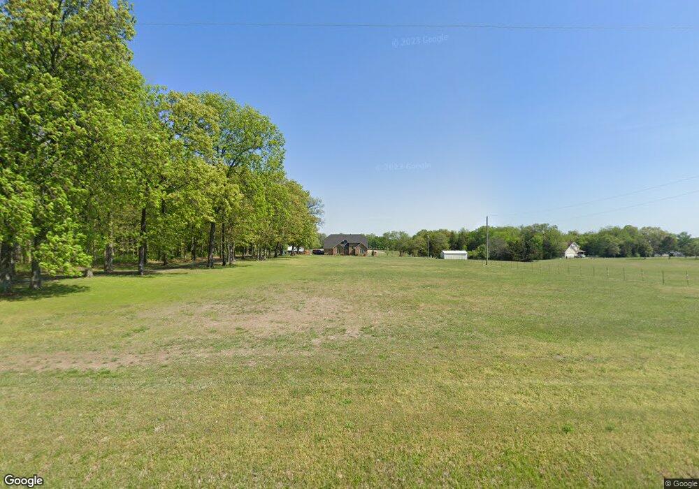
3695 E State Highway Aa Springfield, MO 65803
Estimated Value: $393,000 - $657,000
4
Beds
4
Baths
2,787
Sq Ft
$201/Sq Ft
Est. Value
About This Home
This home is located at 3695 E State Highway Aa, Springfield, MO 65803 and is currently estimated at $559,137, approximately $200 per square foot. 3695 E State Highway Aa is a home located in Greene County with nearby schools including Pleasant View K-8 School and Hillcrest High School.
Ownership History
Date
Name
Owned For
Owner Type
Purchase Details
Closed on
Jun 28, 2007
Sold by
Hargrove Winston Dion and Hargrove Stacey
Bought by
Gibson Burnis and Gibson Cindy
Current Estimated Value
Home Financials for this Owner
Home Financials are based on the most recent Mortgage that was taken out on this home.
Original Mortgage
$255,000
Outstanding Balance
$156,785
Interest Rate
6.19%
Mortgage Type
New Conventional
Estimated Equity
$402,352
Purchase Details
Closed on
Oct 31, 2006
Sold by
Shelburn Bill and Shelburn Pamela M
Bought by
Hargrove Winston Dion and Hargrove Stacey
Home Financials for this Owner
Home Financials are based on the most recent Mortgage that was taken out on this home.
Original Mortgage
$196,000
Interest Rate
6.37%
Mortgage Type
New Conventional
Create a Home Valuation Report for This Property
The Home Valuation Report is an in-depth analysis detailing your home's value as well as a comparison with similar homes in the area
Purchase History
| Date | Buyer | Sale Price | Title Company |
|---|---|---|---|
| Gibson Burnis | -- | None Available | |
| Hargrove Winston Dion | -- | None Available |
Source: Public Records
Mortgage History
| Date | Status | Borrower | Loan Amount |
|---|---|---|---|
| Open | Gibson Burnis | $255,000 | |
| Previous Owner | Hargrove Winston Dion | $196,000 |
Source: Public Records
Tax History
| Year | Tax Paid | Tax Assessment Tax Assessment Total Assessment is a certain percentage of the fair market value that is determined by local assessors to be the total taxable value of land and additions on the property. | Land | Improvement |
|---|---|---|---|---|
| 2025 | $3,342 | $61,790 | $10,530 | $51,260 |
| 2024 | $3,338 | $57,660 | $6,210 | $51,450 |
| 2023 | $3,321 | $57,660 | $6,210 | $51,450 |
| 2022 | $2,928 | $49,830 | $6,210 | $43,620 |
| 2021 | $2,801 | $49,830 | $6,210 | $43,620 |
| 2020 | $2,696 | $45,540 | $6,210 | $39,330 |
| 2019 | $2,621 | $45,540 | $6,210 | $39,330 |
| 2018 | $2,456 | $42,460 | $6,210 | $36,250 |
| 2017 | $2,434 | $42,460 | $6,210 | $36,250 |
| 2016 | $2,429 | $42,460 | $6,210 | $36,250 |
| 2015 | $2,411 | $42,460 | $6,210 | $36,250 |
| 2014 | $2,406 | $42,410 | $6,210 | $36,200 |
Source: Public Records
Map
Nearby Homes
- 5785 N Farm Road 189
- 3495 E State Highway Aa
- Lot 8 E Theran Ave
- Lot 7 E Theran Ave
- Lot 9 E Theran Ave
- Lot 6 E Theran Ave
- Lot 5 E Theran Ave
- Lot 10 E Theran Ave
- Lot 11 E Theran Ave
- Lot 4 E Theran Ave
- Lot 12 E Theran Ave
- 2727 E Theran Ave E
- 5096 N Farm Road 197
- Tract C N Farm Road 173
- 4541b N Lanier Ln
- 4541 N Lanier Ln
- 4967 E Farm Road 66
- 5328 N State Highway H
- 2393 E Valley Water Mill Rd
- 4305 E Farm Road 104
- 5614 N Farm Road 183
- 3725 E State Highway Aa
- 3785 E State Highway Aa
- T 4 N Farm Rd 185
- 3822 E State Highway Aa
- 5609 N Farm Road 183
- T 2 N Farm Rd 189
- 5531 N Farm Road 183
- 5710 N Farm Road 183
- 5447 N Farm Road 183
- 3538 E State Highway Aa
- 5625 N Farm Road 183
- 5635 N Farm Road 183
- 0 State Hwy Aa & Farm Road 183 Unit 60069127
- 0 State Hwy Aa & Farm Road 183 Unit 60069128
- T 5 N Farm Rd 185
- 3885 E State Highway Aa
- 5433 N Farm Road 183
- 5438 N Farm Road 185
- 5438 N Farm Road 185
Your Personal Tour Guide
Ask me questions while you tour the home.