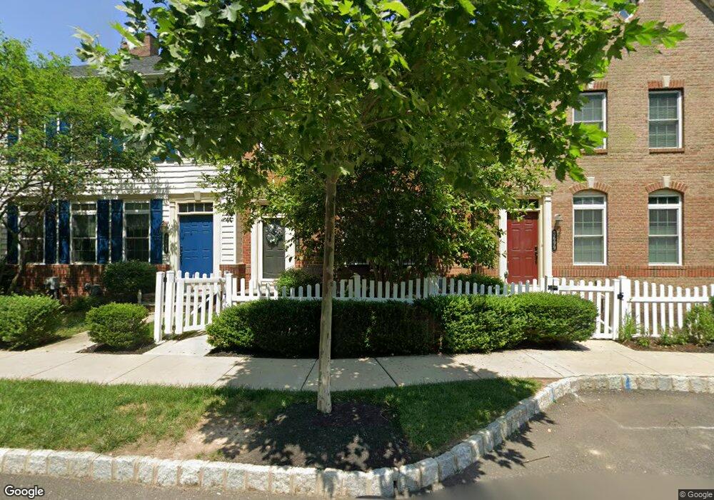
3695 William Daves Rd Doylestown, PA 18902
Plumstead NeighborhoodEstimated Value: $567,570 - $619,000
3
Beds
2
Baths
1,920
Sq Ft
$310/Sq Ft
Est. Value
About This Home
This home is located at 3695 William Daves Rd, Doylestown, PA 18902 and is currently estimated at $594,643, approximately $309 per square foot. 3695 William Daves Rd is a home with nearby schools including Groveland Elementary School, Tohickon Middle School, and Central Bucks High School-West.
Ownership History
Date
Name
Owned For
Owner Type
Purchase Details
Closed on
Apr 13, 2012
Sold by
Nvr Inc
Bought by
Wilkins Mary Grace
Current Estimated Value
Home Financials for this Owner
Home Financials are based on the most recent Mortgage that was taken out on this home.
Original Mortgage
$292,808
Outstanding Balance
$202,246
Interest Rate
3.91%
Mortgage Type
New Conventional
Estimated Equity
$392,397
Purchase Details
Closed on
Nov 4, 2011
Sold by
Carriage Hill Jv Llc
Bought by
Nvr Inc and Nv Homes
Create a Home Valuation Report for This Property
The Home Valuation Report is an in-depth analysis detailing your home's value as well as a comparison with similar homes in the area
Home Values in the Area
Average Home Value in this Area
Purchase History
| Date | Buyer | Sale Price | Title Company |
|---|---|---|---|
| Wilkins Mary Grace | $366,011 | None Available | |
| Nvr Inc | $810,000 | None Available |
Source: Public Records
Mortgage History
| Date | Status | Borrower | Loan Amount |
|---|---|---|---|
| Open | Wilkins Mary Grace | $292,808 |
Source: Public Records
Tax History Compared to Growth
Tax History
| Year | Tax Paid | Tax Assessment Tax Assessment Total Assessment is a certain percentage of the fair market value that is determined by local assessors to be the total taxable value of land and additions on the property. | Land | Improvement |
|---|---|---|---|---|
| 2025 | $6,663 | $38,350 | $2,640 | $35,710 |
| 2024 | $6,663 | $38,350 | $2,640 | $35,710 |
| 2023 | $6,452 | $38,350 | $2,640 | $35,710 |
| 2022 | $6,380 | $38,350 | $2,640 | $35,710 |
| 2021 | $6,308 | $38,350 | $2,640 | $35,710 |
| 2020 | $6,308 | $38,350 | $2,640 | $35,710 |
| 2019 | $6,270 | $38,350 | $2,640 | $35,710 |
| 2018 | $6,270 | $38,350 | $2,640 | $35,710 |
| 2017 | $6,184 | $38,350 | $2,640 | $35,710 |
| 2016 | -- | $38,350 | $2,640 | $35,710 |
| 2015 | -- | $38,350 | $2,640 | $35,710 |
| 2014 | -- | $38,350 | $2,640 | $35,710 |
Source: Public Records
Map
Nearby Homes
- 3723 William Daves Rd
- 3765 William Daves Rd
- 4748 Bishop Cir
- 3838 Jacob Stout Rd
- 5437 Rinker Cir Unit 283
- 100 Bishops Gate Ln Unit 67
- 114 Blackfriars Cir
- 4263 Kleinot Dr
- 4317 Kleinot Dr
- 4464 Kleinot Dr
- 4330 Kleinot Dr
- 4246 Kleinot Dr
- 4298 Kleinot Dr
- 4306 Kleinot Dr
- 90 Chapman Ave
- 418 North St
- 3867 Charter Club Dr
- 62 Constitution Ave
- 1 Gatehouse Ln
- 157 Pine Run Rd
- 3699 William Daves Rd
- 3691 William Daves Rd
- 3687 William Daves Rd
- 3703 William Daves Rd
- 3679 William Daves Rd
- 3707 William Daves Rd
- 3711 William Daves Rd
- 3675 William Daves Rd
- 3694 Christopher Day Rd
- 3715 William Daves Rd
- 3700 Christopher Day Rd
- 3688 Christopher Day Rd
- 3719 William Daves Rd
- 3712 Christopher Day Rd
- 3676 Christopher Day Rd
- 3718 Christopher Day Rd
- 3727 William Daves Rd
- 3724 Christopher Day Rd
- 3731 William Daves Rd
- 3656 Christopher Day Rd