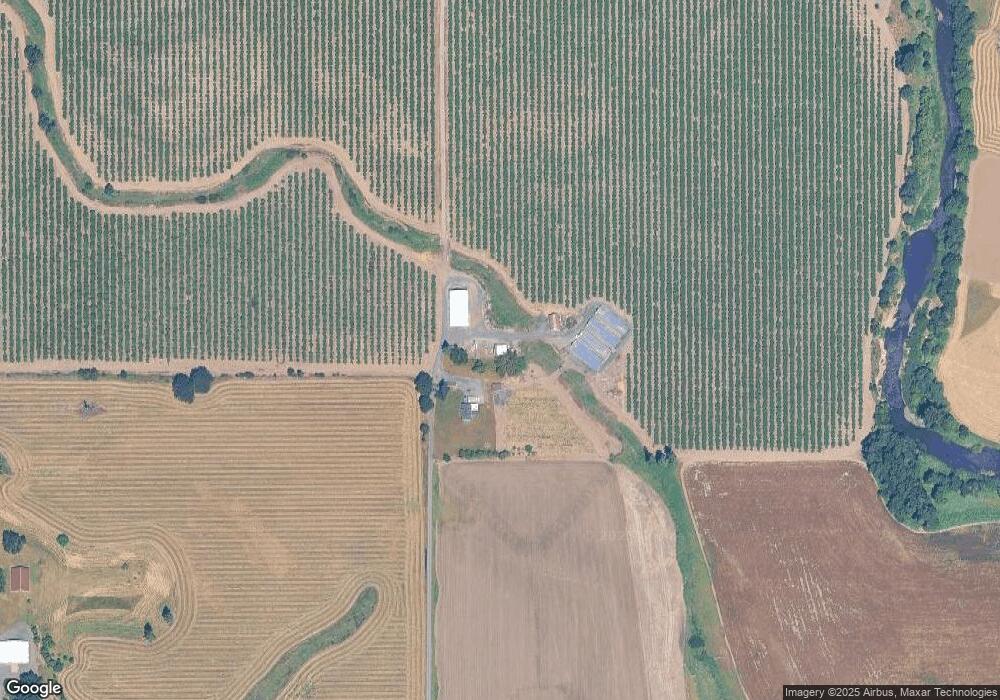
Estimated Value: $1,305,066
4
Beds
1
Bath
1,760
Sq Ft
$742/Sq Ft
Est. Value
About This Home
This home is located at 36951 Karnosh Rd, Scio, OR 97374 and is currently estimated at $1,305,066, approximately $741 per square foot. 36951 Karnosh Rd is a home located in Linn County with nearby schools including Lacomb School and Lebanon High School.
Ownership History
Date
Name
Owned For
Owner Type
Purchase Details
Closed on
Mar 6, 2017
Sold by
Doerfler Farms Inc
Bought by
Havel Place Llc
Current Estimated Value
Purchase Details
Closed on
Dec 9, 2016
Sold by
Townsend Farms Inc
Bought by
Havel Place Llc
Purchase Details
Closed on
Jan 31, 2014
Sold by
Fery Joseph R and Fery Karen L
Bought by
Townsend Farms Inc
Home Financials for this Owner
Home Financials are based on the most recent Mortgage that was taken out on this home.
Original Mortgage
$299,000
Interest Rate
4.45%
Mortgage Type
Seller Take Back
Create a Home Valuation Report for This Property
The Home Valuation Report is an in-depth analysis detailing your home's value as well as a comparison with similar homes in the area
Home Values in the Area
Average Home Value in this Area
Purchase History
| Date | Buyer | Sale Price | Title Company |
|---|---|---|---|
| Havel Place Llc | -- | F A T | |
| Havel Place Llc | $1,060,000 | First American Title | |
| Townsend Farms Inc | $799,000 | First American Title |
Source: Public Records
Mortgage History
| Date | Status | Borrower | Loan Amount |
|---|---|---|---|
| Previous Owner | Townsend Farms Inc | $299,000 | |
| Closed | Havel Place Llc | $0 |
Source: Public Records
Tax History Compared to Growth
Tax History
| Year | Tax Paid | Tax Assessment Tax Assessment Total Assessment is a certain percentage of the fair market value that is determined by local assessors to be the total taxable value of land and additions on the property. | Land | Improvement |
|---|---|---|---|---|
| 2025 | $3,473 | $299,104 | -- | -- |
| 2024 | $3,379 | $290,397 | -- | -- |
| 2023 | $3,291 | $281,939 | $0 | $0 |
| 2022 | $3,197 | $273,729 | $0 | $0 |
| 2021 | $3,048 | $265,761 | $0 | $0 |
| 2020 | $3,008 | $258,023 | $0 | $0 |
| 2019 | $2,943 | $250,515 | $0 | $0 |
| 2018 | $2,862 | $243,220 | $0 | $0 |
| 2017 | $2,782 | $236,146 | $0 | $0 |
| 2016 | $2,579 | $218,639 | $0 | $0 |
| 2015 | $2,150 | $182,008 | $0 | $0 |
| 2014 | $2,069 | $175,230 | $0 | $0 |
Source: Public Records
Map
Nearby Homes
- 36080 Richardson Gap Rd
- 40235 Rainbow Dr
- 36062 Providence School Rd
- 39320 Montgomery Dr
- 41116 Rodgers Mountain Loop
- 40615 Rodgers Mountain Loop
- 35388 Rd
- 39142 Loma Dr
- 39110 Loma Dr
- 35247 Ede Rd
- 40009 Highway 226
- 38888 Highway 226
- 000 Zurfluh Rd
- 34974 Richardson Gap Rd
- 38967 Oregon 226
- TL 1700 6th Ave
- 000 Zurfluh W
- 34821 Ede Rd
- 38958 NW 2nd Ave
- 38808 N Main St
- 40377 Oupor Dr
- 40478 Larwood Dr
- 40474 Larwood Dr
- 40499 Oupor Dr
- 40238 Oupor Dr
- 40238 Oupor Dr
- 40634 Larwood Dr
- 40374 Oupor Dr
- 40779 Oupor Dr
- 37095 Richardson Gap Rd
- 37093 Richardson Gap Rd
- 37093 Richardson Gap Rd
- 40705 Larwood Dr
- 36932 Richardson Gap Rd
- 36831 Richardson Gap Rd
- 36854 Richardson Gap Rd
- 40581 Larwood Dr
- TL # 844341 Richardson Gap Rd
- 40986 Larwood Dr
- 36435 Merritt Rd
