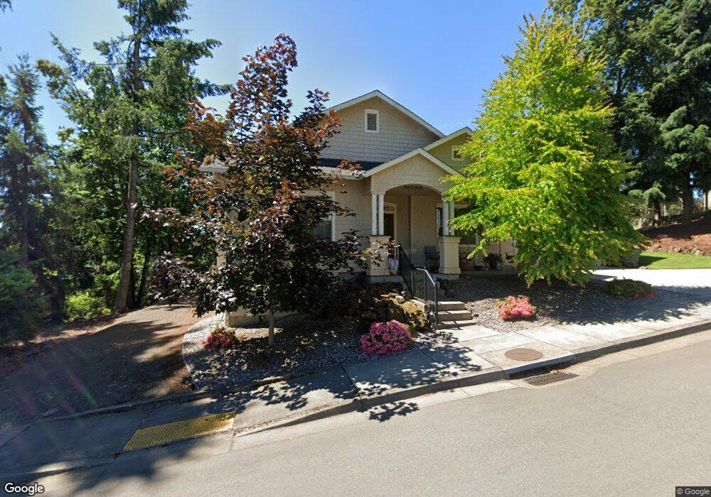
3697 Vitus Ln Springfield, OR 97477
North Springfield NeighborhoodEstimated Value: $552,489 - $786,000
3
Beds
2
Baths
1,857
Sq Ft
$356/Sq Ft
Est. Value
About This Home
This home is located at 3697 Vitus Ln, Springfield, OR 97477 and is currently estimated at $660,372, approximately $355 per square foot. 3697 Vitus Ln is a home located in Lane County with nearby schools including Yolanda Elementary School, Briggs Middle School, and Thurston High School.
Ownership History
Date
Name
Owned For
Owner Type
Purchase Details
Closed on
Nov 6, 2025
Sold by
Perry Anthony
Bought by
Anthony M Perry Trust and Perry
Current Estimated Value
Purchase Details
Closed on
Aug 25, 2025
Sold by
Joseph And Leslie Brady Family Trust and Perry Anthony
Bought by
Perry Anthony
Home Financials for this Owner
Home Financials are based on the most recent Mortgage that was taken out on this home.
Original Mortgage
$360,000
Interest Rate
6.75%
Mortgage Type
New Conventional
Purchase Details
Closed on
Jul 19, 2017
Sold by
Brady Joseph V and Brady Leslie P
Bought by
Brady Joseph V and Brady Leslie P
Purchase Details
Closed on
Oct 2, 2014
Sold by
Breeden Bros Inc
Bought by
Brady Joseph and Brady Leslie P
Create a Home Valuation Report for This Property
The Home Valuation Report is an in-depth analysis detailing your home's value as well as a comparison with similar homes in the area
Home Values in the Area
Average Home Value in this Area
Purchase History
| Date | Buyer | Sale Price | Title Company |
|---|---|---|---|
| Anthony M Perry Trust | -- | None Listed On Document | |
| Perry Anthony | -- | None Listed On Document | |
| Brady Joseph V | -- | None Available | |
| Brady Joseph | $362,000 | Cascade Title Company |
Source: Public Records
Mortgage History
| Date | Status | Borrower | Loan Amount |
|---|---|---|---|
| Previous Owner | Perry Anthony | $360,000 |
Source: Public Records
Tax History
| Year | Tax Paid | Tax Assessment Tax Assessment Total Assessment is a certain percentage of the fair market value that is determined by local assessors to be the total taxable value of land and additions on the property. | Land | Improvement |
|---|---|---|---|---|
| 2025 | $5,710 | $311,393 | -- | -- |
| 2024 | $5,618 | $302,324 | -- | -- |
| 2023 | $5,618 | $293,519 | $0 | $0 |
| 2022 | $5,203 | $284,970 | $0 | $0 |
| 2021 | $5,110 | $276,670 | $0 | $0 |
| 2020 | $4,960 | $268,612 | $0 | $0 |
| 2019 | $4,811 | $260,789 | $0 | $0 |
| 2018 | $4,535 | $245,819 | $0 | $0 |
| 2017 | $4,361 | $245,819 | $0 | $0 |
| 2016 | $4,269 | $238,659 | $0 | $0 |
| 2015 | $4,148 | $231,708 | $0 | $0 |
| 2014 | $1,056 | $58,163 | $0 | $0 |
Source: Public Records
Map
Nearby Homes
- 3705 Vitus Ln
- 3673 Vitus Ln
- 2164 37th St
- 2138 37th Place
- 3678 Vitus Ln
- 2161 37th St
- 0 37th Place
- 2144 37th Place
- 2105 37th Place
- 3539 Vitus Ln
- 3651 Vitus Ln
- 2185 37th St
- 3654 Vitus Ln
- 2117 37th Place
- 2129 37th Place
- 3681 River Heights Dr
- 3752 Vitus Ln
- 2139 37th Place
- 3759 Vitus Ln
- 3699 River Heights Dr
Your Personal Tour Guide
Ask me questions while you tour the home.