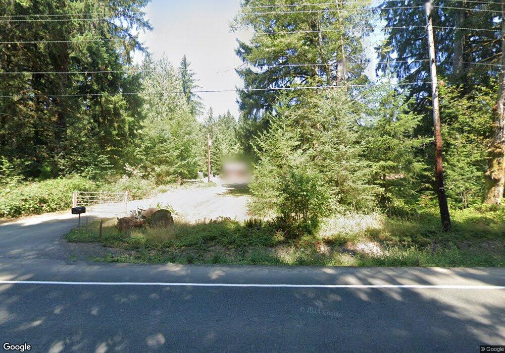
36981 Highway 26 Seaside, OR 97138
Estimated Value: $468,000 - $656,000
3
Beds
2
Baths
2,100
Sq Ft
$265/Sq Ft
Est. Value
About This Home
This home is located at 36981 Highway 26, Seaside, OR 97138 and is currently estimated at $555,587, approximately $264 per square foot. 36981 Highway 26 is a home located in Clatsop County with nearby schools including Seaside High School.
Ownership History
Date
Name
Owned For
Owner Type
Purchase Details
Closed on
May 20, 2025
Sold by
Townsend Robert E
Bought by
Townsend Michelle L
Current Estimated Value
Purchase Details
Closed on
Jul 31, 2009
Sold by
Lounsbury Donna L
Bought by
Townsend Robert E and Townsend Michelle L
Purchase Details
Closed on
Apr 12, 2007
Sold by
Lounsbury Gerald Nelson
Bought by
Townsend Michelle L and Townsend Robert E
Purchase Details
Closed on
Apr 9, 2007
Sold by
Symons Barbara Ellen
Bought by
Lounsbury Gerald Nelson
Create a Home Valuation Report for This Property
The Home Valuation Report is an in-depth analysis detailing your home's value as well as a comparison with similar homes in the area
Home Values in the Area
Average Home Value in this Area
Purchase History
| Date | Buyer | Sale Price | Title Company |
|---|---|---|---|
| Townsend Michelle L | -- | None Listed On Document | |
| Townsend Robert E | -- | None Available | |
| Townsend Michelle L | -- | None Available | |
| Lounsbury Gerald Nelson | -- | None Available |
Source: Public Records
Tax History Compared to Growth
Tax History
| Year | Tax Paid | Tax Assessment Tax Assessment Total Assessment is a certain percentage of the fair market value that is determined by local assessors to be the total taxable value of land and additions on the property. | Land | Improvement |
|---|---|---|---|---|
| 2025 | $2,168 | $156,412 | -- | -- |
| 2024 | $2,092 | $151,858 | -- | -- |
| 2023 | $2,030 | $147,435 | $0 | $0 |
| 2022 | $1,979 | $143,141 | $0 | $0 |
| 2021 | $1,936 | $138,972 | $0 | $0 |
| 2020 | $1,890 | $134,926 | $0 | $0 |
| 2019 | $1,838 | $130,996 | $0 | $0 |
| 2018 | $1,764 | $127,181 | $0 | $0 |
| 2017 | $1,701 | $123,479 | $0 | $0 |
| 2016 | $1,365 | $109,256 | $40,130 | $69,126 |
| 2015 | $1,273 | $106,784 | $39,671 | $67,113 |
| 2014 | $1,437 | $115,853 | $0 | $0 |
| 2013 | -- | $112,480 | $0 | $0 |
Source: Public Records
Map
Nearby Homes
- 36375 Highway 26
- 37769 Hwy
- 37769 Highway 26
- 36046 Highway 26
- 37555 Hauger Mountain Ln
- 0 Necanicum Hwy
- 0 Sugarloaf Rd Unit 23320871
- 0 Hamlet Rd
- 80788 Hamlet Rd
- 84886 Highway 101
- 84886 U S 101
- 85203 Us-101
- 85203 Hwy 101
- 78488 Hwy 53
- 78506 Hwy 53
- 78488 Highway 53
- 0 Saddle Mountain Rd
- 420 Elk Creek Rd Unit 401
- 420 Elk Creek Rd
- 420 Elk Creek Rd Unit 503
- 36968 Highway 26
- 37011 Highway 26
- 36927 Sunset Hwy
- 36927 Highway 26
- 36927 Hwy 26
- 36927 U S 26
- 36899 Highway 26
- 36899 Highway 26
- 36899 Highway 26
- 36899 Hwy 26
- 0 Highway 26
- 36860 Highway 26
- 36884 Highway 26
- 0 Hwy 26 Unit TC-9867
- 0 Hwy 26 Unit 10-868
- 0 Hwy 26 Unit 10-866
- 0 Hwy 26 Unit 10-867
- 0 Hwy 26 Unit 13-1654
- 0 Hwy 26 Unit 14-927
- 0 Vl Hwy 26 Unit 22-842