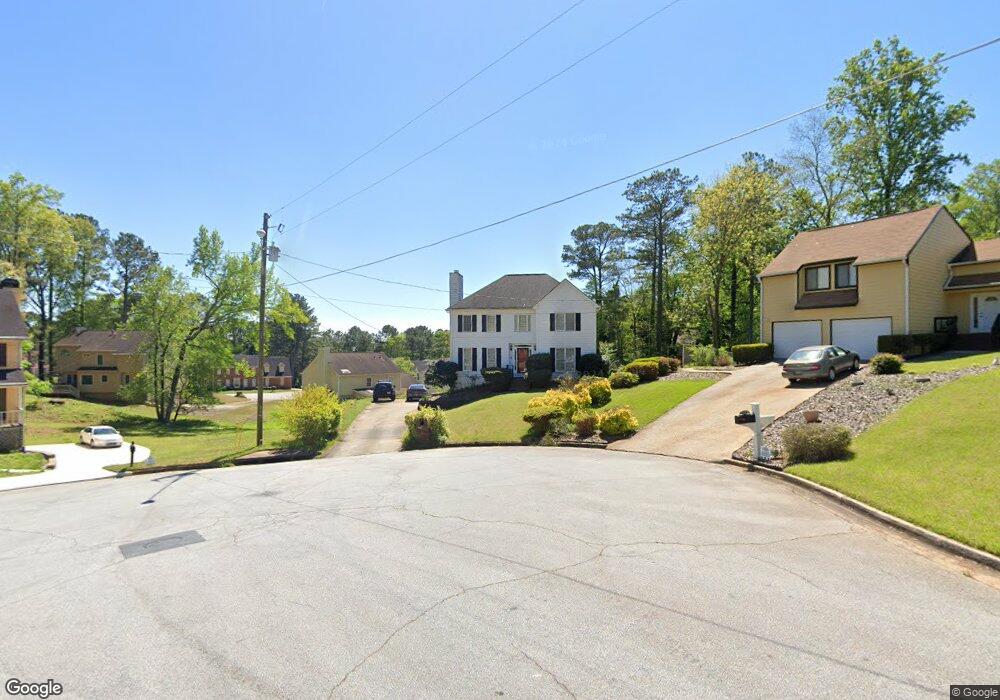
3699 Brandeis Ct Unit 1 Decatur, GA 30034
Southwest DeKalb NeighborhoodEstimated Value: $267,366 - $327,000
3
Beds
3
Baths
2,096
Sq Ft
$141/Sq Ft
Est. Value
About This Home
This home is located at 3699 Brandeis Ct Unit 1, Decatur, GA 30034 and is currently estimated at $296,092, approximately $141 per square foot. 3699 Brandeis Ct Unit 1 is a home located in DeKalb County with nearby schools including Bob Mathis Elementary School, Chapel Hill Middle School, and Southwest Dekalb High School.
Ownership History
Date
Name
Owned For
Owner Type
Purchase Details
Closed on
Mar 31, 1999
Sold by
Parks Ronnie J and Parks Mae F
Bought by
Jackson Cedric
Current Estimated Value
Home Financials for this Owner
Home Financials are based on the most recent Mortgage that was taken out on this home.
Original Mortgage
$131,933
Outstanding Balance
$32,203
Interest Rate
6.85%
Mortgage Type
New Conventional
Estimated Equity
$263,889
Create a Home Valuation Report for This Property
The Home Valuation Report is an in-depth analysis detailing your home's value as well as a comparison with similar homes in the area
Home Values in the Area
Average Home Value in this Area
Purchase History
| Date | Buyer | Sale Price | Title Company |
|---|---|---|---|
| Jackson Cedric | $132,000 | -- |
Source: Public Records
Mortgage History
| Date | Status | Borrower | Loan Amount |
|---|---|---|---|
| Open | Jackson Cedric | $131,933 |
Source: Public Records
Tax History Compared to Growth
Tax History
| Year | Tax Paid | Tax Assessment Tax Assessment Total Assessment is a certain percentage of the fair market value that is determined by local assessors to be the total taxable value of land and additions on the property. | Land | Improvement |
|---|---|---|---|---|
| 2025 | $3,346 | $115,600 | $12,000 | $103,600 |
| 2024 | $3,488 | $118,880 | $12,000 | $106,880 |
| 2023 | $3,488 | $116,920 | $12,000 | $104,920 |
| 2022 | $3,025 | $101,320 | $12,000 | $89,320 |
| 2021 | $2,527 | $79,760 | $12,000 | $67,760 |
| 2020 | $2,202 | $65,680 | $6,280 | $59,400 |
| 2019 | $2,068 | $62,440 | $6,280 | $56,160 |
| 2018 | $1,743 | $60,880 | $6,280 | $54,600 |
| 2017 | $1,927 | $56,400 | $6,280 | $50,120 |
| 2016 | $1,769 | $53,200 | $6,280 | $46,920 |
| 2014 | $1,069 | $32,880 | $6,280 | $26,600 |
Source: Public Records
Map
Nearby Homes
- 3740 Brown Dr
- 3683 Brown Dr
- 3797 Flakes Mill Rd Unit 1A
- 3826 Brandeis Way
- 3816 Holy Cross Ct
- 3672 Platina Park Ct
- 3652 Platina Park Ct
- 3604 Spring Trace
- Stratford Plan at Harvest Park
- Sudbury Plan at Harvest Park
- Salisbury Plan at Harvest Park
- 3700 Harvest Dr
- 3702 Harvest Dr Unit 93
- 3778 Guilford Ct
- 3704 Harvest Dr
- 3689 Harvest Dr
- 3878 Brookside Pkwy
- 3865 Lehigh Blvd
- 3664 Hofstra Ct
- 4062 Brookside Pkwy
- 3693 Brandeis Ct
- 3806 Loyola Way
- 3698 Brandeis Ct
- 3814 Loyola Way Unit 1
- 3689 Brandeis Ct
- 3708 Brown Dr
- 3800 Loyola Way
- 3716 Brown Dr
- 3694 Brandeis Ct
- 3700 Brown Dr
- 3692 Brandeis Ct
- 3834 Loyola Ct
- 3724 Brown Dr
- 3692 Brown Dr
- 3826 Loyola Ct
- 3683 Brandeis Ct Unit 1
- 3688 Brandeis Ct
- 3842 Loyola Ct
- 3805 Loyola Way
- 3732 Brown Dr