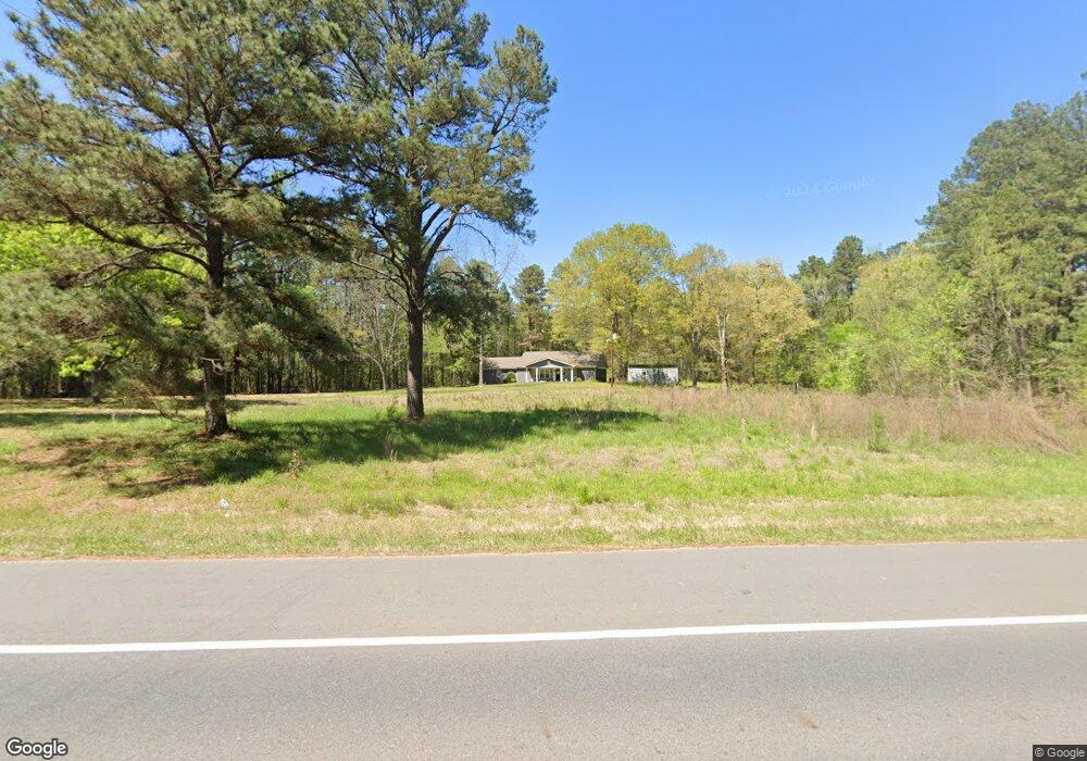
3699 Highway 51 S Arkadelphia, AR 71923
Estimated Value: $125,000 - $359,000
2
Beds
1
Bath
1,496
Sq Ft
$174/Sq Ft
Est. Value
About This Home
This home is located at 3699 Highway 51 S, Arkadelphia, AR 71923 and is currently estimated at $259,656, approximately $173 per square foot. 3699 Highway 51 S is a home located in Clark County with nearby schools including Louisa Perritt Primary School, Peake Elementary School, and Central Primary School.
Ownership History
Date
Name
Owned For
Owner Type
Purchase Details
Closed on
Jan 29, 2016
Bought by
Stewart Raymond and Revocable Trust
Current Estimated Value
Purchase Details
Closed on
Jul 1, 2015
Bought by
Stewart Raymond and Revocable Trust
Purchase Details
Closed on
Feb 15, 2005
Bought by
Stewart Raymond L and Stewart Barbara A
Purchase Details
Closed on
Apr 1, 1998
Bought by
Lillie Mcdaniel W and Lillie Ann
Create a Home Valuation Report for This Property
The Home Valuation Report is an in-depth analysis detailing your home's value as well as a comparison with similar homes in the area
Home Values in the Area
Average Home Value in this Area
Purchase History
| Date | Buyer | Sale Price | Title Company |
|---|---|---|---|
| Stewart Raymond | -- | -- | |
| Stewart Raymond | -- | -- | |
| Stewart Raymond L | $72,000 | -- | |
| Lillie Mcdaniel W | $55,000 | -- |
Source: Public Records
Tax History Compared to Growth
Tax History
| Year | Tax Paid | Tax Assessment Tax Assessment Total Assessment is a certain percentage of the fair market value that is determined by local assessors to be the total taxable value of land and additions on the property. | Land | Improvement |
|---|---|---|---|---|
| 2024 | $985 | $28,700 | $3,270 | $25,430 |
| 2023 | $1,060 | $28,700 | $3,270 | $25,430 |
| 2022 | $1,110 | $28,700 | $3,270 | $25,430 |
| 2021 | $1,110 | $28,700 | $3,270 | $25,430 |
| 2020 | $1,110 | $28,700 | $3,270 | $25,430 |
| 2019 | $1,040 | $27,340 | $3,270 | $24,070 |
| 2018 | $1,051 | $27,340 | $3,270 | $24,070 |
| 2017 | $912 | $17,800 | $3,270 | $14,530 |
| 2016 | $912 | $17,680 | $3,150 | $14,530 |
| 2015 | $32 | $17,690 | $3,160 | $14,530 |
| 2014 | -- | $7,455 | $1,330 | $6,125 |
Source: Public Records
Map
Nearby Homes
- 777 Mount Zion Rd
- 147 Central Rd
- 318 Central Rd
- 365 Helms Rd
- 2 Western Hills Dr
- Lot 59 Apple Blossom Dr
- TBD Apple Blossom Dr
- 106 Apple Blossom Dr
- 0 Flanagan Rd
- 108 Magnolia Dr
- 43 Tracelwood Dr
- 72 Ranch Rd
- 357 Echols Rd
- 100 Canterbury Ln
- 746 Unity Rd
- 2717 Lynwood Dr
- 2838 Sylvia St
- 2709 Lynwood Dr
- 102 Mockingbird Ln
- 145 Shepherd Loop Dr
- 0 Highway 51 S
- 000 Hwy 51 Hwy
- 3671 Highway 51 S
- 3643 Highway 51 S
- 3631 Highway 51 S
- 3656 Highway 51 S
- 3619 Arkansas 51
- 3619 Highway 51 S
- 3611 Highway 51 S
- 45 Dorothy Rd
- 0 Dorthy Rd
- 3616 Highway 51 S
- 3616 S 51 Hwy
- 9 Dorothy Rd
- 805 Mount Zion Rd
- 668 Mount Zion Rd
- 47 Babbitt Rd
- 0 Mt Zion Rd Unit 23015985
- 603 Mount Zion Rd
- 771 Mount Zion Rd