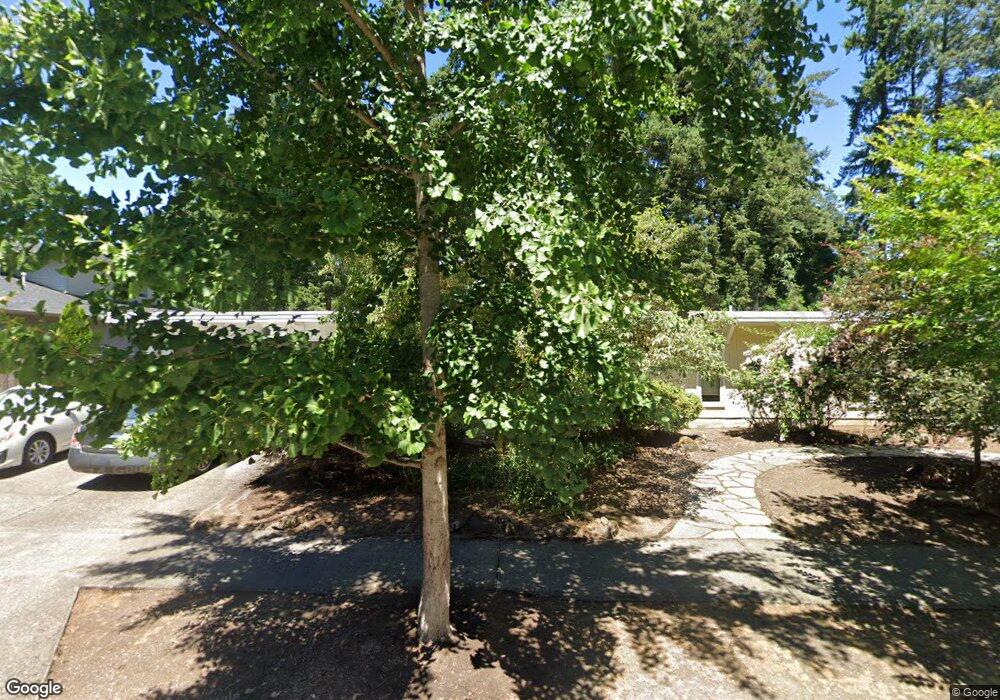
3699 Wren St Lake Oswego, OR 97034
Blue Heron NeighborhoodEstimated Value: $753,000 - $1,202,000
4
Beds
2
Baths
1,914
Sq Ft
$495/Sq Ft
Est. Value
About This Home
This home is located at 3699 Wren St, Lake Oswego, OR 97034 and is currently estimated at $947,545, approximately $495 per square foot. 3699 Wren St is a home located in Clackamas County with nearby schools including Westridge Elementary School, Lakeridge Middle School, and Lakeridge High School.
Ownership History
Date
Name
Owned For
Owner Type
Purchase Details
Closed on
May 24, 2000
Sold by
Newton Roy E and Newton Linda Louise
Bought by
Morse Thomas T and Chauvel Morse Christina A
Current Estimated Value
Home Financials for this Owner
Home Financials are based on the most recent Mortgage that was taken out on this home.
Original Mortgage
$192,000
Outstanding Balance
$65,068
Interest Rate
8.08%
Estimated Equity
$882,477
Create a Home Valuation Report for This Property
The Home Valuation Report is an in-depth analysis detailing your home's value as well as a comparison with similar homes in the area
Home Values in the Area
Average Home Value in this Area
Purchase History
| Date | Buyer | Sale Price | Title Company |
|---|---|---|---|
| Morse Thomas T | $240,000 | Oregon Title Insurance Co |
Source: Public Records
Mortgage History
| Date | Status | Borrower | Loan Amount |
|---|---|---|---|
| Open | Morse Thomas T | $192,000 | |
| Closed | Morse Thomas T | $24,000 |
Source: Public Records
Tax History Compared to Growth
Tax History
| Year | Tax Paid | Tax Assessment Tax Assessment Total Assessment is a certain percentage of the fair market value that is determined by local assessors to be the total taxable value of land and additions on the property. | Land | Improvement |
|---|---|---|---|---|
| 2025 | $8,746 | $455,435 | -- | -- |
| 2024 | $7,317 | $380,045 | -- | -- |
| 2023 | $7,317 | $368,976 | $0 | $0 |
| 2022 | $6,891 | $358,230 | $0 | $0 |
| 2021 | $6,365 | $347,797 | $0 | $0 |
| 2020 | $6,205 | $337,667 | $0 | $0 |
| 2019 | $6,052 | $327,833 | $0 | $0 |
| 2018 | $5,756 | $318,284 | $0 | $0 |
| 2017 | $5,554 | $309,014 | $0 | $0 |
| 2016 | $4,590 | $272,373 | $0 | $0 |
| 2015 | $4,435 | $264,440 | $0 | $0 |
| 2014 | $4,377 | $256,738 | $0 | $0 |
Source: Public Records
Map
Nearby Homes
- 17367 Canal Cir
- 17447 Blue Heron Rd
- 17210 Cedar Rd
- 17422 Blue Heron Rd
- 17595 Kelok Rd
- 4160 Westbay Rd
- 4224 Haven St
- 4241 Cobb Way
- 17035 Westview Dr
- 17810 Sarah Hill Ln
- 17677 Westview Dr
- 4264 Westbay Rd
- 16755 Graef Cir
- 17360 Alpine Way
- 17855 Deerbrush Ave
- 4368 Lakeview Blvd
- 4470 Lakeview Blvd
- 18300 Bryant Rd
- 3600 Lakeview Blvd
- 2627 Park Rd