37 Adams Way Littlestown, PA 17340
Estimated Value: $439,398 - $491,000
4
Beds
3
Baths
2,197
Sq Ft
$212/Sq Ft
Est. Value
About This Home
This home is located at 37 Adams Way, Littlestown, PA 17340 and is currently estimated at $464,850, approximately $211 per square foot. 37 Adams Way is a home with nearby schools including Rolling Acres El School, Maple Avenue Middle School, and Littlestown Senior High School.
Ownership History
Date
Name
Owned For
Owner Type
Purchase Details
Closed on
May 15, 2020
Sold by
Lawrence Steven A and Lawrence Kathy J
Bought by
Tatum Joshua E and Tatum Maggie S
Current Estimated Value
Purchase Details
Closed on
Mar 17, 2014
Sold by
J A Myers Building And Development Inc
Bought by
Lawrence Steven A and Lawrence Kathy J
Create a Home Valuation Report for This Property
The Home Valuation Report is an in-depth analysis detailing your home's value as well as a comparison with similar homes in the area
Home Values in the Area
Average Home Value in this Area
Purchase History
| Date | Buyer | Sale Price | Title Company |
|---|---|---|---|
| Tatum Joshua E | $275,000 | None Available | |
| Lawrence Steven A | $43,500 | None Available |
Source: Public Records
Tax History Compared to Growth
Tax History
| Year | Tax Paid | Tax Assessment Tax Assessment Total Assessment is a certain percentage of the fair market value that is determined by local assessors to be the total taxable value of land and additions on the property. | Land | Improvement |
|---|---|---|---|---|
| 2025 | $5,669 | $299,500 | $50,500 | $249,000 |
| 2024 | $5,449 | $299,500 | $50,500 | $249,000 |
| 2023 | $5,312 | $299,500 | $50,500 | $249,000 |
| 2022 | $5,259 | $298,700 | $50,500 | $248,200 |
| 2021 | $5,072 | $298,700 | $50,500 | $248,200 |
| 2020 | $4,980 | $297,600 | $50,500 | $247,100 |
| 2019 | $3,255 | $297,600 | $50,500 | $247,100 |
| 2018 | $4,728 | $297,600 | $50,500 | $247,100 |
| 2017 | $4,581 | $297,600 | $50,500 | $247,100 |
| 2016 | -- | $297,600 | $50,500 | $247,100 |
| 2015 | -- | $297,600 | $50,500 | $247,100 |
Source: Public Records
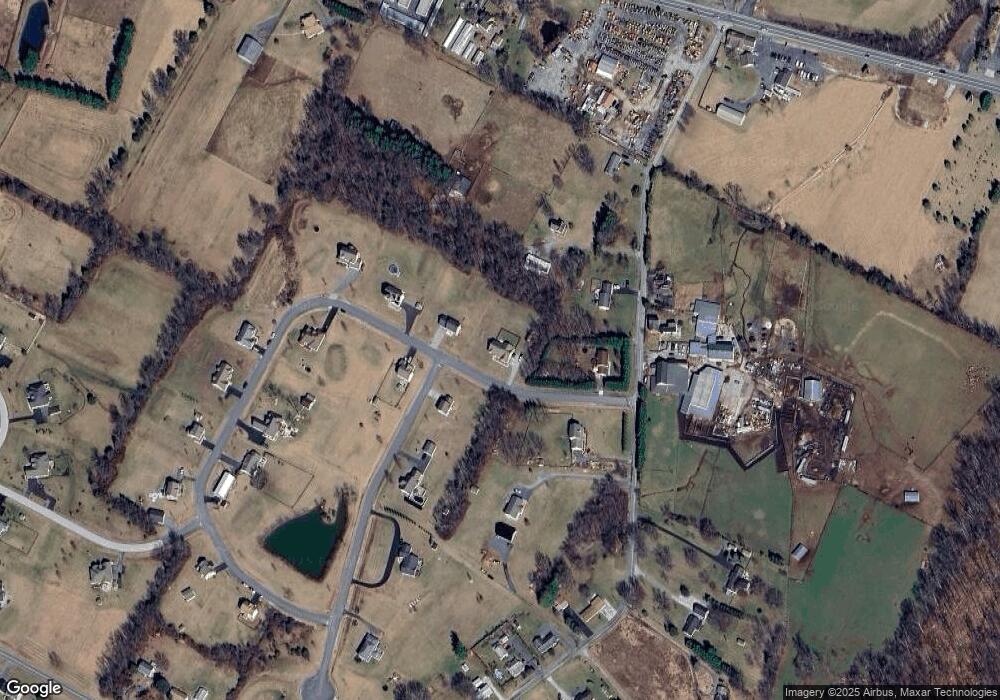
Map
Nearby Homes
- 58 Windsor Ct
- 161 Stoners Cir
- 20c Locust Dr
- 0 Locust Dr Unit PAAD2015910
- 1024 Frederick Pike Unit 6
- 440 N Queen St
- 140 Apple Grove Ln Unit 425
- 22 Rita Marie Ave
- 162 Newark St
- 117 Charles St
- 115 Charles St
- 106 E King St
- 61 E King St
- 15 Yorktowne Ct Unit 97
- 211 E King St
- 241 M St
- 41 Smith Cir
- 464 Locust Ln
- 2238 Harney Rd Unit 3
- 535 Lumber St
- LOT #3 Adam's Way
- 51 Adams Way
- 0 Lot 124 Melissa Ct Unit 20908336
- L-4 St. Johns Rd
- 4 Saint Johns Rd
- Lot 4A St. Johns Rd
- 10 Melissa Ct
- 85 Saint Johns Rd
- 85 Saint Johns Rd Unit 1
- 105 Saint Johns Rd Unit 6
- 105 Saint Johns Rd Unit 2
- 79 Saint Johns Rd Unit 1
- 65 Adams Way
- 15 Melissa Ct
- 135 Saint Johns Rd Unit 3
- 60 Adams Way
- 0 Lot 124 Melissa Ct Unit 21001846
- 20 Melissa Ct
- 80 Adams Way
- 53 Saint Johns Rd