37 Airport Rd West Enfield, ME 04493
Estimated Value: $94,419 - $175,000
3
Beds
1
Bath
990
Sq Ft
$141/Sq Ft
Est. Value
About This Home
This home is located at 37 Airport Rd, West Enfield, ME 04493 and is currently estimated at $139,855, approximately $141 per square foot. 37 Airport Rd is a home with nearby schools including Enfield Station Elementary School, Hichborn Middle School, and Penobscot Valley High School.
Ownership History
Date
Name
Owned For
Owner Type
Purchase Details
Closed on
Apr 29, 2013
Sold by
Linscott Estella M and Linscott Raymond Albert
Bought by
King Donna
Current Estimated Value
Home Financials for this Owner
Home Financials are based on the most recent Mortgage that was taken out on this home.
Original Mortgage
$34,000
Outstanding Balance
$24,265
Interest Rate
3.64%
Mortgage Type
Commercial
Estimated Equity
$115,590
Create a Home Valuation Report for This Property
The Home Valuation Report is an in-depth analysis detailing your home's value as well as a comparison with similar homes in the area
Home Values in the Area
Average Home Value in this Area
Purchase History
| Date | Buyer | Sale Price | Title Company |
|---|---|---|---|
| King Donna | -- | -- |
Source: Public Records
Mortgage History
| Date | Status | Borrower | Loan Amount |
|---|---|---|---|
| Open | King Donna | $34,000 |
Source: Public Records
Tax History Compared to Growth
Tax History
| Year | Tax Paid | Tax Assessment Tax Assessment Total Assessment is a certain percentage of the fair market value that is determined by local assessors to be the total taxable value of land and additions on the property. | Land | Improvement |
|---|---|---|---|---|
| 2024 | $958 | $77,600 | $39,100 | $38,500 |
| 2023 | $927 | $56,400 | $26,700 | $29,700 |
| 2022 | $825 | $50,200 | $23,200 | $27,000 |
| 2021 | $855 | $46,600 | $21,100 | $25,500 |
| 2020 | $2,366 | $46,600 | $21,100 | $25,500 |
| 2019 | $884 | $46,600 | $21,100 | $25,500 |
| 2018 | $884 | $46,600 | $21,100 | $25,500 |
| 2017 | $862 | $46,600 | $21,100 | $25,500 |
| 2016 | $822 | $46,600 | $21,100 | $25,500 |
| 2015 | $750 | $46,600 | $21,100 | $25,500 |
| 2014 | $734 | $45,600 | $20,100 | $25,500 |
Source: Public Records
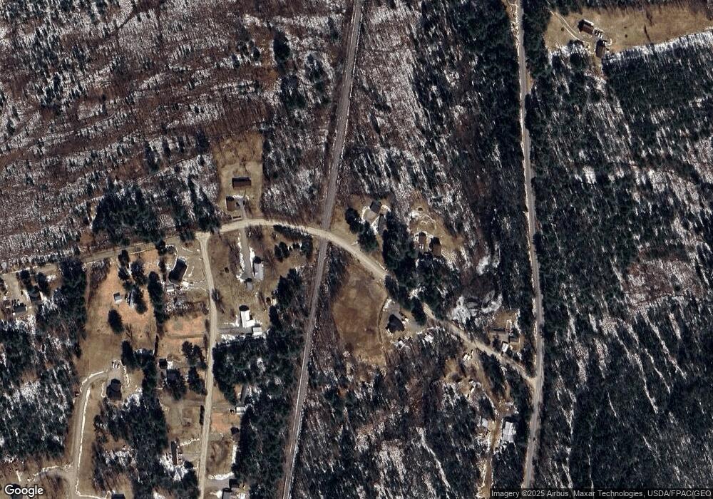
Map
Nearby Homes
- 35 Pelletier Dr
- P/O M6L2 Fern Ridge Rd
- 35 Applebee Ln
- 546 Dodlin Rd
- 204 Cedar Rest Rd
- 45 Oakview Ln
- P/O M29L23 Bluff Rd
- 132 Old County Rd N
- R08 L028 Gardner Ln
- 86 Webb Cove Dr
- 65 Old County Rd N
- 928 Main Rd
- 1 Pioneer Ln
- Lot1&2 Caribou Rd
- 586 Webb Cove Dr
- 44 Penobscot Ave
- 23 Penobscot Ave
- 3 Salmon Point Ln
- 10 York St
- 12 Pleasant St