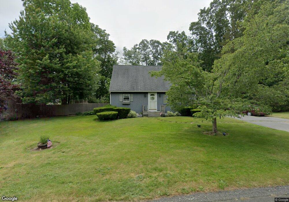
37 Almada St Westport, MA 02790
North Westport NeighborhoodEstimated Value: $453,174 - $520,000
3
Beds
3
Baths
1,428
Sq Ft
$350/Sq Ft
Est. Value
About This Home
This home is located at 37 Almada St, Westport, MA 02790 and is currently estimated at $500,294, approximately $350 per square foot. 37 Almada St is a home located in Bristol County with nearby schools including Alice A. Macomber Primary School, Westport Elementary School, and Westport Middle-High School.
Ownership History
Date
Name
Owned For
Owner Type
Purchase Details
Closed on
May 18, 1994
Sold by
Sharples Robert and Sharples Sharples-Dunleavy E
Bought by
Fiedler John J and Fiedler Janice M
Current Estimated Value
Home Financials for this Owner
Home Financials are based on the most recent Mortgage that was taken out on this home.
Original Mortgage
$98,400
Interest Rate
8.44%
Mortgage Type
Purchase Money Mortgage
Create a Home Valuation Report for This Property
The Home Valuation Report is an in-depth analysis detailing your home's value as well as a comparison with similar homes in the area
Home Values in the Area
Average Home Value in this Area
Purchase History
| Date | Buyer | Sale Price | Title Company |
|---|---|---|---|
| Fiedler John J | $123,000 | -- |
Source: Public Records
Mortgage History
| Date | Status | Borrower | Loan Amount |
|---|---|---|---|
| Open | Fiedler John J | $96,500 | |
| Closed | Fiedler John J | $98,400 | |
| Previous Owner | Fiedler John J | $24,000 | |
| Previous Owner | Fiedler John J | $101,100 |
Source: Public Records
Tax History Compared to Growth
Tax History
| Year | Tax Paid | Tax Assessment Tax Assessment Total Assessment is a certain percentage of the fair market value that is determined by local assessors to be the total taxable value of land and additions on the property. | Land | Improvement |
|---|---|---|---|---|
| 2025 | $2,770 | $371,800 | $161,900 | $209,900 |
| 2024 | $2,756 | $356,500 | $150,000 | $206,500 |
| 2023 | $2,723 | $333,700 | $136,600 | $197,100 |
| 2022 | $2,477 | $292,100 | $124,200 | $167,900 |
| 2021 | $3,604 | $272,300 | $112,900 | $159,400 |
| 2020 | $2,258 | $267,800 | $108,400 | $159,400 |
| 2019 | $2,173 | $262,800 | $108,400 | $154,400 |
| 2018 | $1,882 | $230,300 | $116,600 | $113,700 |
| 2017 | $1,873 | $235,000 | $116,600 | $118,400 |
| 2016 | $1,859 | $235,000 | $116,600 | $118,400 |
| 2015 | $1,812 | $228,500 | $116,600 | $111,900 |
Source: Public Records
Map
Nearby Homes
- 116 Gifford Rd
- 80 Gifford Rd
- 15 S Breault St
- 16 S Berryman St
- 380 Gifford Rd
- 23 Donna St
- 79 Center St
- 100 D Dr
- 565 Highland Ave
- 96 Forge Rd
- 3 Diane Way
- 29 Union Ave
- 1276 Old Fall River Rd
- 92 Benoit St
- 56 Lakeside Ave
- 2 Mackady Ct
- 4 Main Rd
- 55 Lakeside Ave
- 3 Roller Coaster Way Unit Lot 1
- 2 Donna Marie Dr