37 Anchor Dr Unit 37B Key Largo, FL 33037
North Key Largo NeighborhoodEstimated Value: $1,503,000 - $1,901,000
1
Bed
1
Bath
618
Sq Ft
$2,764/Sq Ft
Est. Value
About This Home
This home is located at 37 Anchor Dr Unit 37B, Key Largo, FL 33037 and is currently estimated at $1,707,895, approximately $2,763 per square foot. 37 Anchor Dr Unit 37B is a home located in Monroe County with nearby schools including Key Largo School, Coral Shores High School, and The Academy at Ocean Reef.
Ownership History
Date
Name
Owned For
Owner Type
Purchase Details
Closed on
Dec 26, 2017
Sold by
Klmt Inc
Bought by
Hendricks Donna and Hendricks James W
Current Estimated Value
Home Financials for this Owner
Home Financials are based on the most recent Mortgage that was taken out on this home.
Interest Rate
3.94%
Purchase Details
Closed on
Sep 2, 2016
Sold by
Smkc Llc
Bought by
K L M T Inc
Purchase Details
Closed on
May 15, 2013
Sold by
Maxwell Sally Howard
Bought by
Smkc Llc
Purchase Details
Closed on
Jul 26, 2006
Sold by
Howard Mary Jean
Bought by
Mary Jean Howard Trust
Purchase Details
Closed on
Apr 1, 1990
Bought by
Klmt Inc
Purchase Details
Closed on
May 1, 1988
Bought by
Klmt Inc
Purchase Details
Closed on
Jan 1, 1982
Bought by
Klmt Inc
Purchase Details
Closed on
Feb 1, 1975
Bought by
Klmt Inc
Create a Home Valuation Report for This Property
The Home Valuation Report is an in-depth analysis detailing your home's value as well as a comparison with similar homes in the area
Home Values in the Area
Average Home Value in this Area
Purchase History
| Date | Buyer | Sale Price | Title Company |
|---|---|---|---|
| Hendricks Donna | $100 | -- | |
| K L M T Inc | $390,000 | None Available | |
| Smkc Llc | $155,000 | Attorney | |
| Mary Jean Howard Trust | -- | None Available | |
| Klmt Inc | $143,000 | -- | |
| Klmt Inc | $118,500 | -- | |
| Klmt Inc | $103,000 | -- | |
| Klmt Inc | $38,500 | -- |
Source: Public Records
Mortgage History
| Date | Status | Borrower | Loan Amount |
|---|---|---|---|
| Closed | Hendricks Donna | -- |
Source: Public Records
Tax History Compared to Growth
Tax History
| Year | Tax Paid | Tax Assessment Tax Assessment Total Assessment is a certain percentage of the fair market value that is determined by local assessors to be the total taxable value of land and additions on the property. | Land | Improvement |
|---|---|---|---|---|
| 2024 | $5,963 | $1,181,575 | -- | $1,181,575 |
| 2023 | $5,963 | $1,183,329 | $0 | $1,183,329 |
| 2022 | $4,029 | $601,167 | $0 | $601,167 |
| 2021 | $3,570 | $443,787 | $0 | $443,787 |
| 2020 | $3,681 | $460,853 | $0 | $460,853 |
| 2019 | $3,359 | $411,723 | $0 | $411,723 |
| 2018 | $3,422 | $411,723 | $0 | $0 |
| 2017 | $2,737 | $320,146 | $0 | $0 |
| 2016 | $2,251 | $242,979 | $0 | $0 |
| 2015 | $2,132 | $216,918 | $0 | $0 |
| 2014 | $2,191 | $216,918 | $0 | $0 |
Source: Public Records
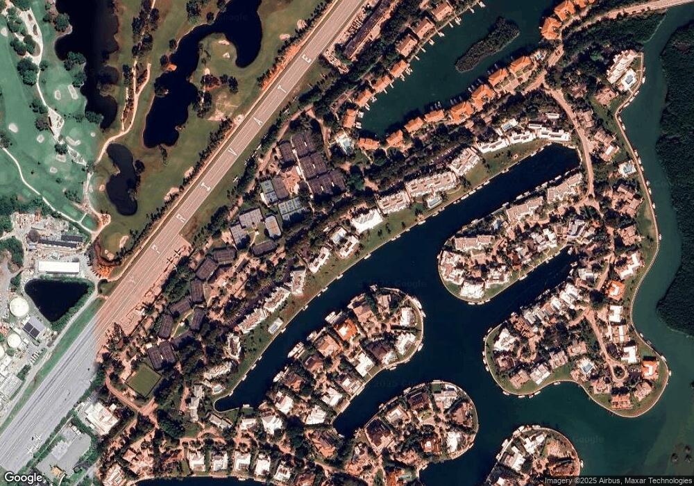
Map
Nearby Homes
- 18 Anchor Dr Unit B
- 64 Tarpon Ln
- 16 Osprey Ln
- 10 Cannon Point
- 17 Osprey Ln
- 9 Gulf Dr
- 10 Mahogany Ln
- 365 S Harbor Dr
- 31 S Carysfort Cir
- 0 167th & Card Sound Rd Unit F10511744
- 10987 County Road 905
- 0 NW 0 Unit A11794670
- 0 NW 0 Unit A11775209
- 410xx SW 122 Ave
- 400xx SW 122 Ave
- 0 Unit 616391
- 133 Valois Blvd
- 18 Palm Dr
- 25 N Ocean Dr
- 15 N Ocean Dr
- 38 Anchor Dr Unit 38B
- 38 Anchor Dr Unit 38A
- 34 Anchor Dr
- 34 Anchor Dr Unit B
- 40 Anchor Dr Unit 40B
- 41 Anchor Dr Unit B
- 42 Anchor Dr Unit 42B
- 42 Anchor Dr Unit 42A
- 39 Anchor Dr Unit 39B
- 39 Anchor Dr Unit 39A
- 46 Anchor Dr Unit 46B
- 35B Anchor Dr Unit 35B
- 46 Anchor Dr Unit 46A
- 40 Anchor Dr Unit 40A
- 36A Anchor Dr Unit 36A
- 35 Anchor Dr Unit 35A
- 35 Anchor Dr Unit A
- 43B Anchor Dr Unit 43B
- 43A Anchor Dr Unit 43A
- 44 Anchor Dr Unit B