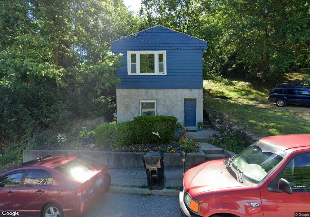
37 Anderson Ferry Rd Cincinnati, OH 45238
Riverside Sedamsville NeighborhoodEstimated Value: $81,000 - $155,000
2
Beds
1
Bath
920
Sq Ft
$127/Sq Ft
Est. Value
About This Home
This home is located at 37 Anderson Ferry Rd, Cincinnati, OH 45238 and is currently estimated at $117,045, approximately $127 per square foot. 37 Anderson Ferry Rd is a home located in Hamilton County with nearby schools including Sayler Park Elementary School, Gilbert A. Dater High School, and Western Hills High School.
Ownership History
Date
Name
Owned For
Owner Type
Purchase Details
Closed on
Oct 7, 2019
Sold by
Smith Donald E and Smith Rita J
Bought by
Smith Jeffrey E and Smith Rebecca
Current Estimated Value
Purchase Details
Closed on
May 5, 2004
Sold by
Kja1 Holdings Llc
Bought by
Smith Donald E and Smith Rita J
Purchase Details
Closed on
Mar 2, 2004
Sold by
Thiem Thomas A and Omalley Thiem Jane E
Bought by
Kja1 Holdings Llc
Create a Home Valuation Report for This Property
The Home Valuation Report is an in-depth analysis detailing your home's value as well as a comparison with similar homes in the area
Home Values in the Area
Average Home Value in this Area
Purchase History
| Date | Buyer | Sale Price | Title Company |
|---|---|---|---|
| Smith Jeffrey E | -- | None Available | |
| Smith Donald E | $32,000 | -- | |
| Kja1 Holdings Llc | $25,000 | -- |
Source: Public Records
Tax History Compared to Growth
Tax History
| Year | Tax Paid | Tax Assessment Tax Assessment Total Assessment is a certain percentage of the fair market value that is determined by local assessors to be the total taxable value of land and additions on the property. | Land | Improvement |
|---|---|---|---|---|
| 2024 | $626 | $9,699 | $1,743 | $7,956 |
| 2023 | $627 | $9,699 | $1,743 | $7,956 |
| 2022 | $511 | $7,077 | $1,757 | $5,320 |
| 2021 | $499 | $7,077 | $1,757 | $5,320 |
| 2020 | $500 | $7,077 | $1,757 | $5,320 |
| 2019 | $500 | $6,433 | $1,596 | $4,837 |
| 2018 | $500 | $6,433 | $1,596 | $4,837 |
| 2017 | $481 | $6,433 | $1,596 | $4,837 |
| 2016 | $532 | $6,958 | $2,443 | $4,515 |
| 2015 | $476 | $6,958 | $2,443 | $4,515 |
| 2014 | $479 | $6,958 | $2,443 | $4,515 |
| 2013 | $496 | $7,098 | $2,492 | $4,606 |
Source: Public Records
Map
Nearby Homes
- 155 Palisades Point
- 190 Anderson Ferry Rd
- 4189 River Rd
- 5062 Orangelawn Dr
- 311 Anderson Ferry Rd
- 4231 River Rd Unit Parcel-A-B-C
- 4231 River Rd Unit Parcel-B
- 4231 River Rd Unit Parcel-A
- 4231 River Rd Unit Parcel-C
- 3018 Observatory Hill Ct
- 207 Greenwell Ave
- 3938 Hillside Ave
- 5084 Francisvalley Ct
- 263 Clareknoll Ct
- 932 Dry Valley Ct
- 5027 Giles Ct
- 905 Outlook Ridge Ln
- 3377 Hillside Ave
- 3389 Hillside Ave
- 5424 Delhi Rd
- 39 Anderson Ferry Rd
- 41 Anderson Ferry Rd
- 43 Anderson Ferry Rd
- 36 Anderson Ferry Rd
- 47 Anderson Ferry Rd
- 4350 Hillside Ave
- 4350 Hillside Ave Unit A
- 4350 Hillside Ave Unit B
- 4350 Hillside Ave Unit C
- 4335 Hillside Ave
- 53 Anderson Ferry Rd
- 4355 Hillside Ave
- 4315 Hillside Ave
- 4315 Hillside Ave Unit A
- 4290 Hillside Ave
- 63 Anderson Ferry Rd
- 4316 River Rd
- 65 Anderson Ferry Rd
- 4288 Hillside Ave
- 4312 River Rd