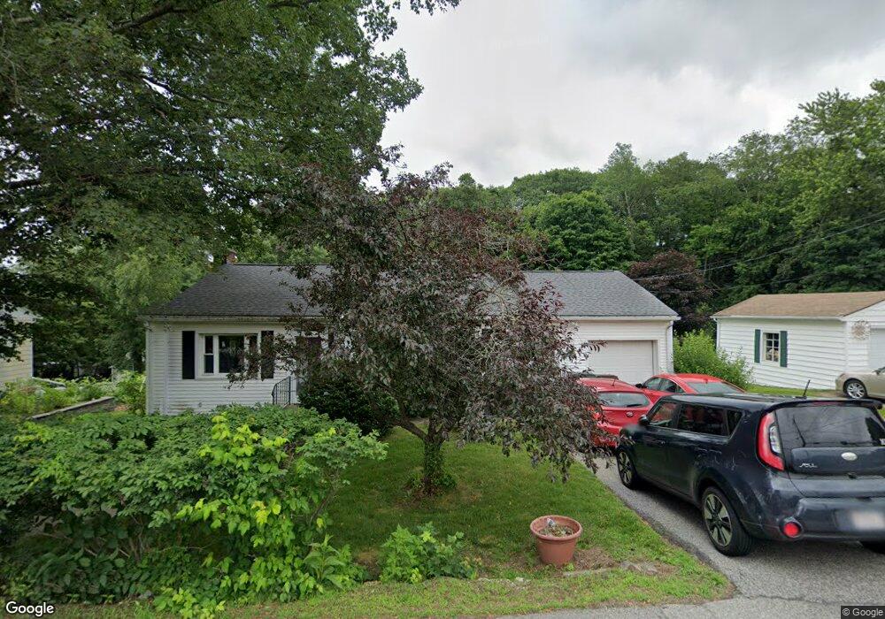
37 Appleton Rd Auburn, MA 01501
West Auburn NeighborhoodEstimated Value: $435,093 - $492,000
3
Beds
3
Baths
1,620
Sq Ft
$288/Sq Ft
Est. Value
About This Home
This home is located at 37 Appleton Rd, Auburn, MA 01501 and is currently estimated at $467,023, approximately $288 per square foot. 37 Appleton Rd is a home located in Worcester County with nearby schools including Auburn Senior High School and Shrewsbury Montessori School - Auburn Campus.
Ownership History
Date
Name
Owned For
Owner Type
Purchase Details
Closed on
Oct 28, 1999
Sold by
Downing Ebba J and Downing Harry A
Bought by
Meyer Eric T and Meyer Kimberly P
Current Estimated Value
Home Financials for this Owner
Home Financials are based on the most recent Mortgage that was taken out on this home.
Original Mortgage
$133,000
Interest Rate
7.78%
Mortgage Type
Purchase Money Mortgage
Create a Home Valuation Report for This Property
The Home Valuation Report is an in-depth analysis detailing your home's value as well as a comparison with similar homes in the area
Home Values in the Area
Average Home Value in this Area
Purchase History
| Date | Buyer | Sale Price | Title Company |
|---|---|---|---|
| Meyer Eric T | $140,000 | -- |
Source: Public Records
Mortgage History
| Date | Status | Borrower | Loan Amount |
|---|---|---|---|
| Open | Meyer Eric T | $118,500 | |
| Closed | Meyer Eric T | $132,750 | |
| Closed | Meyer Eric T | $131,500 | |
| Closed | Meyer Eric T | $133,000 |
Source: Public Records
Tax History
| Year | Tax Paid | Tax Assessment Tax Assessment Total Assessment is a certain percentage of the fair market value that is determined by local assessors to be the total taxable value of land and additions on the property. | Land | Improvement |
|---|---|---|---|---|
| 2025 | $48 | $335,000 | $117,300 | $217,700 |
| 2024 | $4,821 | $322,900 | $112,900 | $210,000 |
| 2023 | $4,642 | $292,300 | $102,700 | $189,600 |
| 2022 | $4,366 | $259,600 | $102,700 | $156,900 |
| 2021 | $4,185 | $230,700 | $90,700 | $140,000 |
| 2020 | $4,146 | $230,600 | $90,700 | $139,900 |
| 2019 | $4,019 | $218,200 | $89,900 | $128,300 |
| 2018 | $379 | $207,100 | $84,100 | $123,000 |
| 2017 | $3,653 | $199,200 | $76,200 | $123,000 |
| 2016 | $3,481 | $192,400 | $78,600 | $113,800 |
| 2015 | $3,336 | $193,300 | $78,600 | $114,700 |
| 2014 | $3,204 | $185,300 | $74,900 | $110,400 |
Source: Public Records
Map
Nearby Homes
- 4 Athens St
- 0 Athens St
- 23 Bridle Path
- 49 Prospect St
- 634 Oxford St S
- 19 Thayer Pond Dr Unit 3
- 166 Leicester St
- 1 Crowl Hill Rd
- 24 Thayer Pond Dr Unit 17
- 4 Bridge St
- 4 Thayer Pond Dr Unit 20
- 6 Thayer Pond Dr Unit 11
- 32 Thayer Pond Dr Unit 17
- 34 Thayer Pond Dr Unit 8
- 155 Southbridge Rd
- 9 Santom St
- 137 South St
- 31-37 Leicester St
- 45 Leicester St
- 9 B Wellington Rd
Your Personal Tour Guide
Ask me questions while you tour the home.