37 Aroostook Falls Rd Fort Fairfield, ME 04742
4
Beds
2
Baths
2,100
Sq Ft
4
Acres
About This Home
This home is located at 37 Aroostook Falls Rd, Fort Fairfield, ME 04742. 37 Aroostook Falls Rd is a home located in Aroostook County with nearby schools including Fort Fairfield Elementary School, Fort Fairfield Middle/High School, and Dirigere Christian Academy.
Ownership History
Date
Name
Owned For
Owner Type
Purchase Details
Closed on
Oct 13, 2020
Sold by
Lemoine Robert E and Soucy Troy J
Bought by
Smith Peter D and Smith Laurie L
Purchase Details
Closed on
Oct 1, 2020
Sold by
Fort Fairfield Town Of
Bought by
Lemoine Robert
Purchase Details
Closed on
Nov 21, 2007
Sold by
Simonds Stephan A
Bought by
Lemoine Robert Edward
Home Financials for this Owner
Home Financials are based on the most recent Mortgage that was taken out on this home.
Original Mortgage
$119,213
Interest Rate
6.42%
Mortgage Type
FHA
Create a Home Valuation Report for This Property
The Home Valuation Report is an in-depth analysis detailing your home's value as well as a comparison with similar homes in the area
Home Values in the Area
Average Home Value in this Area
Purchase History
| Date | Buyer | Sale Price | Title Company |
|---|---|---|---|
| Smith Peter D | -- | None Available | |
| Lemoine Robert | -- | None Available | |
| Lemoine Robert Edward | -- | -- |
Source: Public Records
Mortgage History
| Date | Status | Borrower | Loan Amount |
|---|---|---|---|
| Previous Owner | Lemoine Robert Edward | $119,213 |
Source: Public Records
Tax History Compared to Growth
Tax History
| Year | Tax Paid | Tax Assessment Tax Assessment Total Assessment is a certain percentage of the fair market value that is determined by local assessors to be the total taxable value of land and additions on the property. | Land | Improvement |
|---|---|---|---|---|
| 2022 | $3,412 | $128,760 | $19,250 | $109,510 |
| 2021 | $494 | $25,330 | $19,250 | $6,080 |
| 2020 | $1,746 | $85,170 | $19,250 | $65,920 |
| 2019 | $1,474 | $58,900 | $11,400 | $47,500 |
| 2018 | $1,455 | $58,900 | $11,400 | $47,500 |
| 2017 | $1,514 | $58,900 | $11,400 | $47,500 |
| 2016 | $2,024 | $82,600 | $11,400 | $71,200 |
| 2015 | $2,024 | $82,600 | $11,400 | $71,200 |
| 2014 | $1,962 | $82,600 | $11,400 | $71,200 |
Source: Public Records
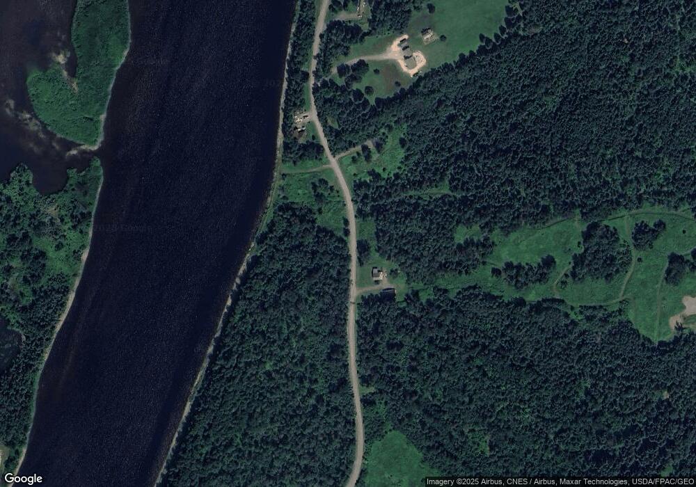
Map
Nearby Homes
- 5 Lincoln St
- 164 Main St
- 8 Blue Bell Ct
- 80 Forest Ave
- 15 Blaine St
- 37 Presque Isle St
- 8 Wesleyan St
- 198 Forest Ave
- 265 Forest Ave
- 175 Center Limestone Rd
- 129 Currier Rd
- 116 Hopkins Rd
- 380 N Caribou Rd
- 277 Conant Rd
- 11 Martin Rd
- 152 E Green Ridge Rd
- M14L19A Strickland Rd
- 220 & 222 Parkhurst Siding Rd
- 27 Maple Grove Rd
- 731 Reach Rd
- 32 Aroostook Falls Rd
- 41 Aroostook Falls Rd
- 54 Aroostook Falls Rd
- 58 Aroostook Falls Rd
- 0 Russell Rd Unit 1230465
- 68 Aroostook Falls Rd
- 68 Boundry Line Rd
- 58 Boundry Line Rd
- 78 Boundry Line Rd
- 78 Boundry Line Rd
- 76 Boundry Line Rd
- 209 Riverside Ave
- 55 Boundry Line Rd
- 82 Boundry Line Rd
- 44 Boundry Line Rd
- 86 Boundry Line Rd
- 88 Boundry Line Rd
- 86 Aroostook Falls Rd
- 89 Aroostook Falls Rd
- 92 Aroostook Falls Rd