37-B Uncle Stephens Rd Dennis, MA 02670
West Dennis NeighborhoodEstimated Value: $586,000 - $1,416,000
2
Beds
1
Bath
512
Sq Ft
$2,187/Sq Ft
Est. Value
About This Home
This home is located at 37-B Uncle Stephens Rd, Dennis, MA 02670 and is currently estimated at $1,119,937, approximately $2,187 per square foot. 37-B Uncle Stephens Rd is a home located in Barnstable County with nearby schools including Dennis-Yarmouth Regional High School and St. Pius X. School.
Ownership History
Date
Name
Owned For
Owner Type
Purchase Details
Closed on
Jun 6, 2024
Sold by
37B Uncle Stephens Rd Llc
Bought by
Scanlon Barbara T and Olson Sandra J
Current Estimated Value
Purchase Details
Closed on
Feb 26, 2021
Sold by
Mary Fisher Ret and Fisher
Bought by
37B Uncle Stephens Rd Llc
Purchase Details
Closed on
Nov 17, 2015
Sold by
Mary E Fisher Rt and Fisher
Bought by
Mary E Fisher Living R and Fisher
Create a Home Valuation Report for This Property
The Home Valuation Report is an in-depth analysis detailing your home's value as well as a comparison with similar homes in the area
Home Values in the Area
Average Home Value in this Area
Purchase History
| Date | Buyer | Sale Price | Title Company |
|---|---|---|---|
| Scanlon Barbara T | -- | None Available | |
| Scanlon Barbara T | -- | None Available | |
| Olson Donald J | -- | None Available | |
| 37B Uncle Stephens Rd Llc | $462,500 | None Available | |
| Mary E Fisher Living R | -- | -- | |
| Mary E Fisher Living R | -- | -- |
Source: Public Records
Tax History Compared to Growth
Tax History
| Year | Tax Paid | Tax Assessment Tax Assessment Total Assessment is a certain percentage of the fair market value that is determined by local assessors to be the total taxable value of land and additions on the property. | Land | Improvement |
|---|---|---|---|---|
| 2025 | $5,183 | $1,196,900 | $1,138,200 | $58,700 |
| 2024 | $5,029 | $1,145,500 | $1,094,600 | $50,900 |
| 2023 | $4,840 | $1,036,400 | $995,000 | $41,400 |
| 2022 | $5,181 | $925,100 | $896,400 | $28,700 |
| 2021 | $4,966 | $823,600 | $800,600 | $23,000 |
| 2020 | $4,987 | $817,500 | $800,600 | $16,900 |
| 2019 | $5,955 | $965,100 | $947,700 | $17,400 |
| 2018 | $6,332 | $998,700 | $958,600 | $40,100 |
| 2017 | $6,152 | $1,000,300 | $958,500 | $41,800 |
| 2016 | $7,182 | $1,099,900 | $1,065,000 | $34,900 |
Source: Public Records
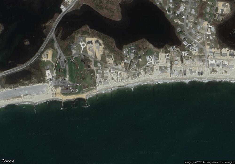
Map
Nearby Homes
- 6 Baker Way
- 178 School St
- 14 Schoolhouse Ln
- 61 Trotters Ln
- 2 Rita Mary Way
- 23 Doric Ave
- 401 Main St Unit 201
- 401 Main St Unit 101
- 209 Main St Unit 3
- 209 Main St Unit 6
- 209 Main St Unit 1
- 209 Main St Unit 2
- 209 Main St Unit 4
- 209 Main St Unit 5
- 467 Main St
- 37 Ocean Dr Unit 2
- 112 Old Wharf Rd Unit E4
- 112 Old Wharf Rd Unit E1
- 64 Beaten Rd
- 120 Old Wharf Rd Unit 11
- 37A Uncle Stephens Rd
- 41 Uncle Stephens Rd
- 41 Uncle Stevens Rd
- 8 Ocean Ave
- 35 Uncle Stephens Rd
- 35 Uncle Stevens Rd
- 6 Ocean Ave
- 37B Uncle Stevens Rd
- 37A Uncle Stevens Rd
- 45 Uncle Stevens Rd
- 45 Uncle Stephens Rd
- 4 Ocean Ave
- 7 Ocean Ave
- 34 Uncle Stephens Rd
- 7 Ocean Ave
- 5 Ocean Ave
- 2 Ocean Ave
- 32 Uncle Stevens Rd
- 34 Uncle Stevens Rd
- 2 Ocean Ave