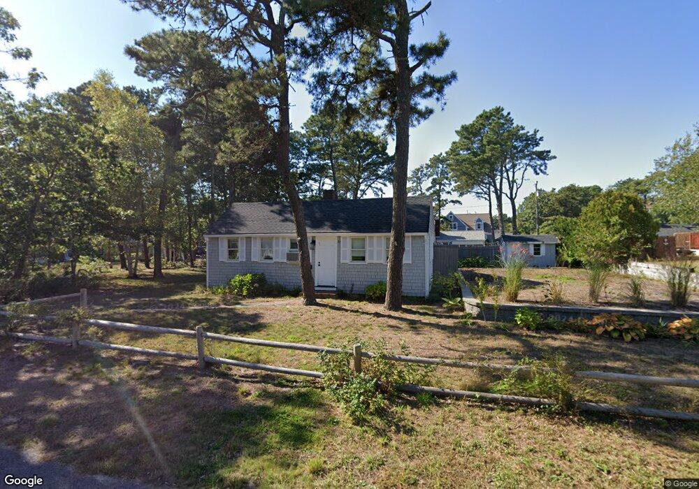
37 Bain Rd Dennis Port, MA 02639
Dennis Port NeighborhoodEstimated Value: $508,000 - $682,000
3
Beds
1
Bath
896
Sq Ft
$656/Sq Ft
Est. Value
About This Home
This home is located at 37 Bain Rd, Dennis Port, MA 02639 and is currently estimated at $587,369, approximately $655 per square foot. 37 Bain Rd is a home located in Barnstable County with nearby schools including Dennis-Yarmouth Regional High School and St. Pius X. School.
Ownership History
Date
Name
Owned For
Owner Type
Purchase Details
Closed on
Sep 25, 2019
Sold by
Slattery Dennisport T
Bought by
Boushell Steven and Martin Patricia D
Current Estimated Value
Home Financials for this Owner
Home Financials are based on the most recent Mortgage that was taken out on this home.
Original Mortgage
$300,000
Outstanding Balance
$263,351
Interest Rate
3.6%
Mortgage Type
New Conventional
Estimated Equity
$324,018
Create a Home Valuation Report for This Property
The Home Valuation Report is an in-depth analysis detailing your home's value as well as a comparison with similar homes in the area
Home Values in the Area
Average Home Value in this Area
Purchase History
| Date | Buyer | Sale Price | Title Company |
|---|---|---|---|
| Boushell Steven | $400,000 | -- |
Source: Public Records
Mortgage History
| Date | Status | Borrower | Loan Amount |
|---|---|---|---|
| Open | Boushell Steven | $300,000 |
Source: Public Records
Tax History Compared to Growth
Tax History
| Year | Tax Paid | Tax Assessment Tax Assessment Total Assessment is a certain percentage of the fair market value that is determined by local assessors to be the total taxable value of land and additions on the property. | Land | Improvement |
|---|---|---|---|---|
| 2025 | $2,264 | $522,900 | $281,400 | $241,500 |
| 2024 | $2,121 | $483,100 | $270,700 | $212,400 |
| 2023 | $2,051 | $439,200 | $246,000 | $193,200 |
| 2022 | $1,903 | $339,900 | $193,900 | $146,000 |
| 2021 | $1,867 | $309,700 | $190,100 | $119,600 |
| 2020 | $1,822 | $298,700 | $190,100 | $108,600 |
| 2019 | $1,844 | $298,900 | $202,400 | $96,500 |
| 2018 | $1,771 | $279,300 | $192,700 | $86,600 |
| 2017 | $1,607 | $261,300 | $177,500 | $83,800 |
| 2016 | $1,555 | $238,200 | $167,300 | $70,900 |
| 2015 | $1,524 | $238,200 | $167,300 | $70,900 |
| 2014 | $1,448 | $228,100 | $157,200 | $70,900 |
Source: Public Records
Map
Nearby Homes
- 64 Beaten Rd
- 37 Ocean Dr Unit 2
- 112 Old Wharf Rd Unit E4
- 112 Old Wharf Rd Unit E1
- 154 Old Wharf Rd Unit 26
- 154 Old Wharf Rd Unit 14
- 120 Old Wharf Rd Unit 11
- 217 Old Wharf Rd Unit 64
- 80 Michaels Ave
- 31 Easy St
- 241 Old Wharf Rd Unit 82
- 241 Old Wharf Rd Unit 127
- 241 Old Wharf Rd Unit 90
- 262 Old Wharf Rd Unit 67
- 262 Old Wharf Rd Unit 5
- 262 Old Wharf Rd Unit 5
- 262 Old Wharf Rd Unit 20
- 262 Old Wharf Rd Unit 87
- 37 Beach Hills Rd
- 37-A Beach Hills Rd