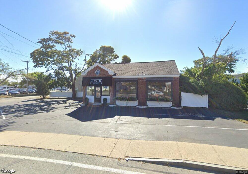
37 Barnstable Rd Hyannis, MA 2601
Estimated Value: $374,452
--
Bed
--
Bath
988
Sq Ft
$379/Sq Ft
Est. Value
About This Home
This home is located at 37 Barnstable Rd, Hyannis, MA 2601 and is currently estimated at $374,452, approximately $379 per square foot. 37 Barnstable Rd is a home located in Barnstable County with nearby schools including Hyannis West Elementary School, Barnstable United Elementary School, and Barnstable Intermediate School.
Ownership History
Date
Name
Owned For
Owner Type
Purchase Details
Closed on
Nov 10, 2004
Sold by
Stanton Betsy S
Bought by
37 Barnstable Road Rt
Current Estimated Value
Home Financials for this Owner
Home Financials are based on the most recent Mortgage that was taken out on this home.
Original Mortgage
$140,000
Outstanding Balance
$69,725
Interest Rate
5.75%
Mortgage Type
Commercial
Estimated Equity
$304,727
Create a Home Valuation Report for This Property
The Home Valuation Report is an in-depth analysis detailing your home's value as well as a comparison with similar homes in the area
Home Values in the Area
Average Home Value in this Area
Purchase History
| Date | Buyer | Sale Price | Title Company |
|---|---|---|---|
| 37 Barnstable Road Rt | $185,000 | -- |
Source: Public Records
Mortgage History
| Date | Status | Borrower | Loan Amount |
|---|---|---|---|
| Open | 37 Barnstable Road Rt | $140,000 |
Source: Public Records
Tax History Compared to Growth
Tax History
| Year | Tax Paid | Tax Assessment Tax Assessment Total Assessment is a certain percentage of the fair market value that is determined by local assessors to be the total taxable value of land and additions on the property. | Land | Improvement |
|---|---|---|---|---|
| 2025 | $2,643 | $268,900 | $165,000 | $103,900 |
| 2024 | $2,572 | $263,800 | $165,000 | $98,800 |
| 2023 | $2,773 | $263,800 | $165,000 | $98,800 |
| 2022 | $3,265 | $255,100 | $165,000 | $90,100 |
| 2021 | $3,235 | $252,700 | $165,000 | $87,700 |
| 2020 | $2,965 | $225,300 | $152,500 | $72,800 |
| 2019 | $3,192 | $225,300 | $152,500 | $72,800 |
| 2018 | $3,084 | $220,000 | $152,500 | $67,500 |
| 2017 | $2,768 | $220,000 | $152,500 | $67,500 |
| 2016 | $2,702 | $220,000 | $152,500 | $67,500 |
| 2015 | $2,483 | $206,900 | $146,500 | $60,400 |
Source: Public Records
Map
Nearby Homes
- 49 Center St
- 65 Louis St Unit A
- 35 Pleasant St
- 72 Grove St
- 115 School St Unit W206
- 110 School St Unit E114
- 110 School St Unit E209
- 110 School St Unit E101
- 110 School St Unit E113
- 574 Main St
- 321 Winter St
- 22 Terry Ct
- 83 Main St
- 12 Walnut St
- 107 Channel Point Rd
- 28 Bumpus Rd
- 178 Walnut St
- 287 Ocean St Unit C2
- 287 Ocean St Unit 2 BLDG C
- 199 Hamden Cir
- 37 Barnstable Rd
- 8 North St
- 45 Barnstable Rd
- 44 Barnstable Rd
- 44 Barnstable Rd Unit 2nd fl
- 44 Barnstable Rd Unit 44
- 44 Barnstable Rd Unit 44
- 44 Barnstable Rd
- 51 Barnstable Rd
- 28 Barnstable Rd
- 26 Barnstable Rd
- 16 North St
- 49 Elm Ave
- 15 Barnstable Rd
- 56 Barnstable Rd
- 11 Barnstable Rd
- 11 Barnstable Rd
- 11 Barnstable Rd
- 61 Barnstable Rd
- 65 Barnstable Rd