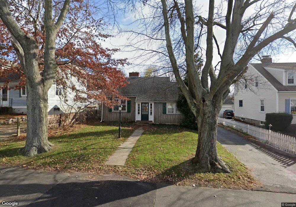
37 Baros St Fairfield, CT 06824
University NeighborhoodEstimated Value: $591,000 - $638,000
2
Beds
1
Bath
895
Sq Ft
$676/Sq Ft
Est. Value
About This Home
This home is located at 37 Baros St, Fairfield, CT 06824 and is currently estimated at $605,182, approximately $676 per square foot. 37 Baros St is a home located in Fairfield County with nearby schools including Holland Hill Elementary, Fairfield Woods Middle School, and Fairfield Ludlowe High School.
Ownership History
Date
Name
Owned For
Owner Type
Purchase Details
Closed on
Jun 3, 2010
Sold by
Renzolli Brenda L
Bought by
Lloyd Thomas A and Lloyd Kerri B
Current Estimated Value
Home Financials for this Owner
Home Financials are based on the most recent Mortgage that was taken out on this home.
Original Mortgage
$278,745
Outstanding Balance
$185,897
Interest Rate
4.87%
Mortgage Type
FHA
Estimated Equity
$419,285
Create a Home Valuation Report for This Property
The Home Valuation Report is an in-depth analysis detailing your home's value as well as a comparison with similar homes in the area
Home Values in the Area
Average Home Value in this Area
Purchase History
| Date | Buyer | Sale Price | Title Company |
|---|---|---|---|
| Lloyd Thomas A | $282,500 | -- | |
| Lloyd Thomas A | $282,500 | -- |
Source: Public Records
Mortgage History
| Date | Status | Borrower | Loan Amount |
|---|---|---|---|
| Open | Lloyd Thomas A | $278,745 | |
| Closed | Lloyd Thomas A | $278,745 |
Source: Public Records
Tax History Compared to Growth
Tax History
| Year | Tax Paid | Tax Assessment Tax Assessment Total Assessment is a certain percentage of the fair market value that is determined by local assessors to be the total taxable value of land and additions on the property. | Land | Improvement |
|---|---|---|---|---|
| 2025 | $7,635 | $268,940 | $216,440 | $52,500 |
| 2024 | $7,503 | $268,940 | $216,440 | $52,500 |
| 2023 | $7,399 | $268,940 | $216,440 | $52,500 |
| 2022 | $7,326 | $268,940 | $216,440 | $52,500 |
| 2021 | $7,256 | $268,940 | $216,440 | $52,500 |
| 2020 | $6,277 | $234,290 | $177,730 | $56,560 |
| 2019 | $6,277 | $234,290 | $177,730 | $56,560 |
| 2018 | $6,176 | $234,290 | $177,730 | $56,560 |
| 2017 | $6,049 | $234,290 | $177,730 | $56,560 |
| 2016 | $5,963 | $234,290 | $177,730 | $56,560 |
| 2015 | $6,115 | $246,680 | $197,470 | $49,210 |
| 2014 | $6,019 | $246,680 | $197,470 | $49,210 |
Source: Public Records
Map
Nearby Homes
- 1035 Black Rock Turnpike Unit 1035
- 143 Sawyer Rd
- 148 Roseville St
- 152 Roseville St
- 221 Hunyadi Ave
- 1335 Black Rock Turnpike
- 162 Country Rd Unit 162
- 251 Soundview Ave
- 151 May St
- 244 Tunxis Hill Cut Off
- 140 Tunxis Hill Cut Off
- 270 Oakwood Dr
- 74 Soundview Ave
- 1009 High St
- 62 Soundview Ave
- 633 Black Rock Turnpike
- 299 Marlborough Terrace
- 271 Jeniford Rd
- 333 Lenox Rd
- 118 Berwick Ave
- 15 Baros St
- 39 Baros St
- 1175 Black Rock Turnpike
- 28 Andrassy Ave
- 1153 Black Rock Turnpike
- 60 Baros St
- 28 Baros St
- 1195 Black Rock Turnpike
- 38 Baros St
- 14 Andrassy Ave
- 63 Baros St
- 34 Andrassy Ave
- 50 Baros St
- 62 Andrassy Ave
- 35 Andrassy Ave
- 1176 Black Rock Turnpike
- 230 York Rd
- 1154 Black Rock Turnpike
- 1217 Black Rock Turnpike