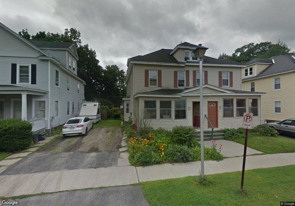
37 Bay State Rd Pittsfield, MA 01201
Estimated Value: $306,000 - $339,000
6
Beds
2
Baths
3,000
Sq Ft
$107/Sq Ft
Est. Value
About This Home
This home is located at 37 Bay State Rd, Pittsfield, MA 01201 and is currently estimated at $322,287, approximately $107 per square foot. 37 Bay State Rd is a home located in Berkshire County with nearby schools including John T. Reid Middle School, Taconic High School, and Sinai Academy of the Berkshires.
Ownership History
Date
Name
Owned For
Owner Type
Purchase Details
Closed on
Feb 12, 1987
Sold by
Rogers Donna M
Bought by
Abdallah Izideen
Current Estimated Value
Home Financials for this Owner
Home Financials are based on the most recent Mortgage that was taken out on this home.
Original Mortgage
$80,000
Interest Rate
9.34%
Mortgage Type
Purchase Money Mortgage
Create a Home Valuation Report for This Property
The Home Valuation Report is an in-depth analysis detailing your home's value as well as a comparison with similar homes in the area
Home Values in the Area
Average Home Value in this Area
Purchase History
| Date | Buyer | Sale Price | Title Company |
|---|---|---|---|
| Abdallah Izideen | $125,000 | -- |
Source: Public Records
Mortgage History
| Date | Status | Borrower | Loan Amount |
|---|---|---|---|
| Closed | Abdallah Izideen | $80,000 |
Source: Public Records
Tax History Compared to Growth
Tax History
| Year | Tax Paid | Tax Assessment Tax Assessment Total Assessment is a certain percentage of the fair market value that is determined by local assessors to be the total taxable value of land and additions on the property. | Land | Improvement |
|---|---|---|---|---|
| 2025 | $4,663 | $259,900 | $54,400 | $205,500 |
| 2024 | $4,293 | $232,700 | $54,400 | $178,300 |
| 2023 | $3,873 | $211,400 | $49,200 | $162,200 |
| 2022 | $3,753 | $202,200 | $49,200 | $153,000 |
| 2021 | $3,455 | $179,500 | $49,200 | $130,300 |
| 2020 | $3,597 | $182,500 | $49,200 | $133,300 |
| 2019 | $3,453 | $177,800 | $49,200 | $128,600 |
| 2018 | $3,434 | $171,600 | $49,200 | $122,400 |
| 2017 | $3,314 | $168,800 | $49,700 | $119,100 |
| 2016 | $3,217 | $171,500 | $49,700 | $121,800 |
| 2015 | $3,097 | $171,500 | $49,700 | $121,800 |
Source: Public Records
Map
Nearby Homes
- 156 Elizabeth St
- 14 Bay State Rd
- 5 Crofut St
- 100 Boylston Street Extension
- 1 Colt Rd Unit 2
- 261 South St
- 65 Crofut St
- 247 South St
- 18 Velma Ave
- 32 Velma Ave
- 89 Crofut St
- 194 Bartlett Ave
- 41 Reed St
- 127 Gamwell Ave
- 139 Gamwell Ave
- 261 Pomeroy Ave
- 145 Bartlett Ave
- 50 W Housatonic St
- 79 Center St
- 39 Lowden St
- 31 Bay State Rd
- 41 Bay State Rd
- 25 Bay State Rd
- 47 Bay State Rd
- 49 Bay State Rd
- 36 Taylor St
- 40 Taylor St
- 40 Taylor St Unit 1
- 44 Taylor St
- 38 Bay State Rd
- 32 Bay State Rd
- 30 Taylor St
- 21 Bay State Rd
- 28 Bay State Rd
- 51 Bay State Rd
- 50 Taylor St
- 50 Bay State Rd
- 22 Bay State Rd
- 24 Taylor St
- 17 Bay State Rd