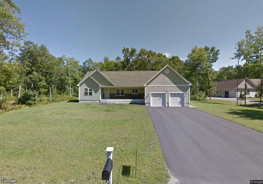
37 Bernice Ave Sanford, ME 04073
South Sanford NeighborhoodEstimated Value: $555,194 - $659,000
3
Beds
2
Baths
1,932
Sq Ft
$321/Sq Ft
Est. Value
About This Home
This home is located at 37 Bernice Ave, Sanford, ME 04073 and is currently estimated at $620,799, approximately $321 per square foot. 37 Bernice Ave is a home located in York County.
Ownership History
Date
Name
Owned For
Owner Type
Purchase Details
Closed on
Jul 6, 2012
Sold by
Higgins Julie
Bought by
Davie Jennifer M and Davie Wesley J
Current Estimated Value
Home Financials for this Owner
Home Financials are based on the most recent Mortgage that was taken out on this home.
Original Mortgage
$234,693
Outstanding Balance
$161,689
Interest Rate
3.78%
Mortgage Type
New Conventional
Estimated Equity
$459,110
Purchase Details
Closed on
Nov 12, 2010
Sold by
Northeast Trading Corp
Bought by
Higgins Julie A
Create a Home Valuation Report for This Property
The Home Valuation Report is an in-depth analysis detailing your home's value as well as a comparison with similar homes in the area
Home Values in the Area
Average Home Value in this Area
Purchase History
| Date | Buyer | Sale Price | Title Company |
|---|---|---|---|
| Davie Jennifer M | $227,500 | -- | |
| Davie Jennifer M | $227,500 | -- | |
| Higgins Julie A | -- | -- |
Source: Public Records
Mortgage History
| Date | Status | Borrower | Loan Amount |
|---|---|---|---|
| Open | Davie Jennifer M | $234,693 | |
| Closed | Higgins Julie A | $234,693 |
Source: Public Records
Tax History Compared to Growth
Tax History
| Year | Tax Paid | Tax Assessment Tax Assessment Total Assessment is a certain percentage of the fair market value that is determined by local assessors to be the total taxable value of land and additions on the property. | Land | Improvement |
|---|---|---|---|---|
| 2025 | $8,141 | $476,100 | $65,200 | $410,900 |
| 2024 | $7,684 | $476,100 | $65,200 | $410,900 |
| 2023 | $7,149 | $472,200 | $65,200 | $407,000 |
| 2022 | $6,989 | $472,200 | $65,200 | $407,000 |
| 2021 | $6,848 | $376,700 | $65,200 | $311,500 |
| 2020 | $6,403 | $317,600 | $65,200 | $252,400 |
| 2019 | $6,129 | $296,100 | $65,200 | $230,900 |
| 2018 | $5,658 | $276,000 | $60,500 | $215,500 |
| 2017 | $5,436 | $262,100 | $60,500 | $201,600 |
| 2016 | $5,496 | $241,700 | $60,600 | $181,100 |
| 2015 | $5,276 | $239,400 | $60,600 | $178,800 |
| 2014 | $5,258 | $241,300 | $62,500 | $178,800 |
| 2013 | -- | $243,200 | $62,500 | $180,700 |
Source: Public Records
Map
Nearby Homes
- 42 Bernice Ave
- 22 Lentago Ln
- Lot 4 Tbd Lentago Ln Unit Lot 4
- 122 Country Club 3 Rd
- 45 Grace Ln
- 41 Sunny Ln
- 247 Sam Allen Rd
- 43 Michaels Rd
- 99 Channel Ln
- 761 Quarry Rd
- 56 Sam Allen Rd
- 86 Moose Bog Ln
- 49 Willow Dr
- Lot 8E Country Club Rd
- 469 High St
- Lot 11 Laney Ln
- 99 Westhaven Ln
- 85 Westhaven Ln
- Lot 13 Laney Ln
- Lot 13 Rolling Woods Ln
- 45 Bernice Ave
- 0 Bernice Ave
- 46 Bernice Ave
- Lot #8 Bernice Ave
- 49 Bernice Ave
- 6 Bernice Ave
- 2 Bernice Ave
- 52 Bernice Ave
- 24 Bernice Ave
- 15 Bernice Ave
- 123 Bernice Ave Unit Lot4
- 123 Bernice Ave Unit Lot3
- 53 Bernice Ave
- 9 Bernice Ave
- 5 Bernice Ave
- 3 Bernice Ave
- 1 Bernice Ave Unit Lot2
- 1 Bernice Ave
- 56 Bernice Ave
- 55 Bernice Ave