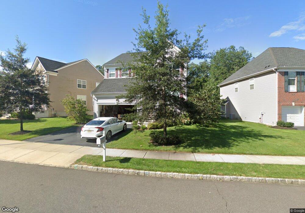
37 Bristol Rd Manalapan, NJ 07726
Estimated Value: $942,191 - $1,111,000
4
Beds
2
Baths
2,422
Sq Ft
$412/Sq Ft
Est. Value
About This Home
This home is located at 37 Bristol Rd, Manalapan, NJ 07726 and is currently estimated at $998,048, approximately $412 per square foot. 37 Bristol Rd is a home with nearby schools including Wemrock Brook School, Manalapan-Englishtown Middle School, and Pine Brook Elementary School.
Ownership History
Date
Name
Owned For
Owner Type
Purchase Details
Closed on
Nov 29, 2011
Sold by
K Hovnanian At Manalapan Iii L L C
Bought by
Suriyaarachchi Kumudu and Suriyaarachchi Anuradhi
Current Estimated Value
Home Financials for this Owner
Home Financials are based on the most recent Mortgage that was taken out on this home.
Original Mortgage
$402,650
Outstanding Balance
$276,627
Interest Rate
4.1%
Mortgage Type
New Conventional
Estimated Equity
$721,421
Purchase Details
Closed on
May 23, 2011
Sold by
Hearthstone Multi Asset Entity A L P
Bought by
K Hovnanian At Manalapan Iii L L C
Create a Home Valuation Report for This Property
The Home Valuation Report is an in-depth analysis detailing your home's value as well as a comparison with similar homes in the area
Home Values in the Area
Average Home Value in this Area
Purchase History
| Date | Buyer | Sale Price | Title Company |
|---|---|---|---|
| Suriyaarachchi Kumudu | $503,324 | Eastern Title Agency Inc | |
| K Hovnanian At Manalapan Iii L L C | $157,500 | Eastern Title Agency Inc |
Source: Public Records
Mortgage History
| Date | Status | Borrower | Loan Amount |
|---|---|---|---|
| Open | Suriyaarachchi Kumudu | $402,650 |
Source: Public Records
Tax History Compared to Growth
Tax History
| Year | Tax Paid | Tax Assessment Tax Assessment Total Assessment is a certain percentage of the fair market value that is determined by local assessors to be the total taxable value of land and additions on the property. | Land | Improvement |
|---|---|---|---|---|
| 2025 | $13,325 | $829,400 | $324,000 | $505,400 |
| 2024 | $12,935 | $789,400 | $294,000 | $495,400 |
| 2023 | $12,935 | $777,800 | $294,000 | $483,800 |
| 2022 | $12,448 | $709,800 | $244,000 | $465,800 |
| 2021 | $12,448 | $597,900 | $179,000 | $418,900 |
| 2020 | $11,845 | $575,000 | $154,000 | $421,000 |
| 2019 | $11,757 | $569,900 | $154,000 | $415,900 |
| 2018 | $11,516 | $554,700 | $154,000 | $400,700 |
| 2017 | $11,199 | $539,700 | $144,000 | $395,700 |
| 2016 | $11,067 | $538,800 | $144,000 | $394,800 |
| 2015 | $10,974 | $528,600 | $144,000 | $384,600 |
| 2014 | $10,514 | $493,600 | $144,000 | $349,600 |
Source: Public Records
Map
Nearby Homes
- 12 Millhurst Rd
- 15 W Parsonage Way
- 1213 Auburn Terrace Unit 1203
- 1212 Auburn Terrace Unit 1202
- 1214 Auburn Terrace Unit 1204
- 1213 Auburn Terrace
- 1212 Auburn Terrace
- 2013 Wander Ln Unit 2003
- 2014 Wander Ln Unit 2004
- 2011 Wander Ln Unit 2001
- 2013 Wander Ln
- 01 Private St
- 10 Hedgerow Ln
- 55 Wintergreen Dr
- 72 Wintergreen Dr
- 28 Shoemaker Rd
- 100 Hedgerow Ln
- 40 Riva Ridge Rd
- 400 Main St
- 53 McCaffery Rd