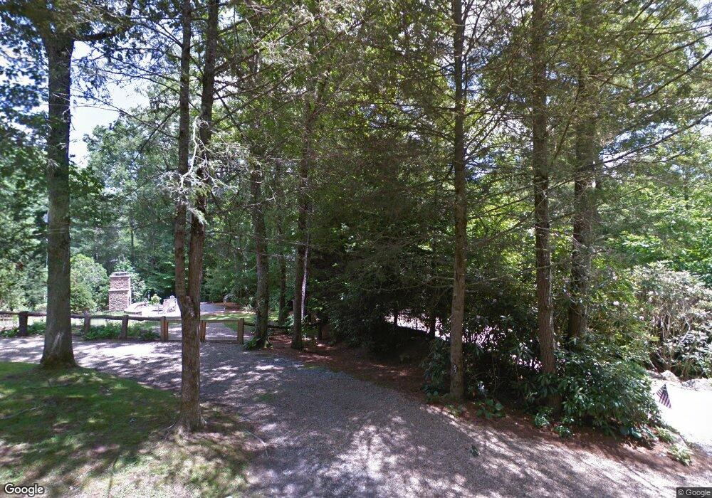
37 Brookside Ln Highlands, NC 28741
Estimated Value: $1,171,000 - $2,378,000
3
Beds
3
Baths
2,267
Sq Ft
$731/Sq Ft
Est. Value
About This Home
This home is located at 37 Brookside Ln, Highlands, NC 28741 and is currently estimated at $1,658,028, approximately $731 per square foot. 37 Brookside Ln is a home with nearby schools including Highlands School, Macon Middle School, and Mountain View Intermediate School.
Ownership History
Date
Name
Owned For
Owner Type
Purchase Details
Closed on
Mar 5, 2026
Sold by
Soshnik Gregory and Solen Laura
Bought by
Laura Solen Soshnik 2016 Trust
Current Estimated Value
Purchase Details
Closed on
Feb 3, 2014
Sold by
Parkes William Edward and Wiles Esther P
Bought by
Soshnik Gregory B and Soshnik Laura Solen
Purchase Details
Closed on
May 21, 2008
Sold by
Parkes William Edward and Parkes Mary Nelson
Bought by
Parkes William Edward and Wiles Esther P
Create a Home Valuation Report for This Property
The Home Valuation Report is an in-depth analysis detailing your home's value as well as a comparison with similar homes in the area
Home Values in the Area
Average Home Value in this Area
Purchase History
| Date | Buyer | Sale Price | Title Company |
|---|---|---|---|
| Laura Solen Soshnik 2016 Trust | -- | None Listed On Document | |
| Soshnik Gregory B | $115,000 | None Available | |
| Parkes William Edward | -- | None Available |
Source: Public Records
Tax History
| Year | Tax Paid | Tax Assessment Tax Assessment Total Assessment is a certain percentage of the fair market value that is determined by local assessors to be the total taxable value of land and additions on the property. | Land | Improvement |
|---|---|---|---|---|
| 2025 | $5,114 | $1,276,300 | $239,400 | $1,036,900 |
| 2024 | $5,114 | $1,276,300 | $239,400 | $1,036,900 |
| 2023 | $4,162 | $1,276,300 | $239,400 | $1,036,900 |
| 2022 | $4,162 | $691,240 | $137,070 | $554,170 |
| 2021 | $4,162 | $691,240 | $137,070 | $554,170 |
| 2020 | $3,987 | $691,240 | $137,070 | $554,170 |
| 2018 | $3,315 | $614,670 | $87,210 | $527,460 |
| 2017 | $457 | $457,990 | $87,210 | $370,780 |
| 2016 | $457 | $87,210 | $87,210 | $0 |
| 2015 | $457 | $87,210 | $87,210 | $0 |
| 2014 | -- | $244,800 | $244,800 | $0 |
| 2013 | -- | $244,800 | $244,800 | $0 |
Source: Public Records
Map
Nearby Homes
- 135 Sanctuary Ridge Rd
- 464 Franklin Rd
- Lot 8 Sanctuary Ridge Rd
- TBD Foreman Rd
- Lot 2 Sanctuary Ridge Rd
- 142 Lucerne Dr
- 874 Foreman Rd
- 48 Holt Knob Rd
- 299 Oak St Unit 7
- 299 Oak St Unit 5
- 299 Oak St Unit 2
- 299 Oak St Unit 6
- 299 Oak St Unit 8
- 299 Oak St Unit 4
- 299 Oak St Unit 1
- 299 Oak St Unit 3
- 47 Brock Ct Unit 2
- 60 Cullasaja Dr
- 57 Jackson Dr
- 42 Hemlock Ridge
Your Personal Tour Guide
Ask me questions while you tour the home.