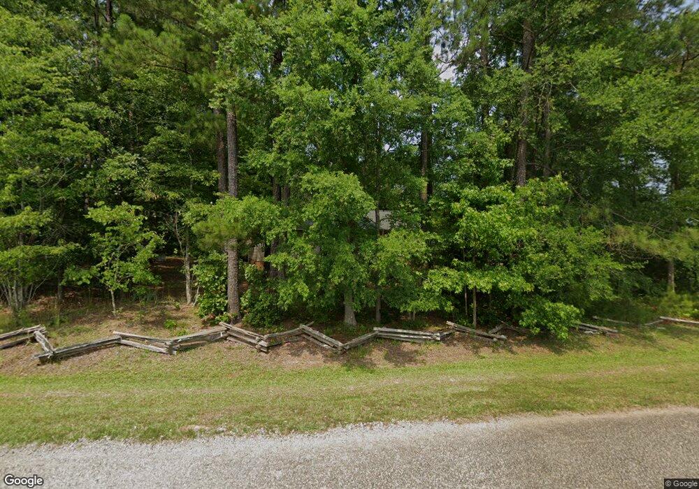
37 Canvasback Rd Gilbert, SC 29054
Estimated Value: $285,000 - $385,000
3
Beds
2
Baths
1,368
Sq Ft
$247/Sq Ft
Est. Value
About This Home
This home is located at 37 Canvasback Rd, Gilbert, SC 29054 and is currently estimated at $337,847, approximately $246 per square foot. 37 Canvasback Rd is a home located in Lexington County with nearby schools including Centerville Elementary School, Gilbert Middle School, and Gilbert High School.
Ownership History
Date
Name
Owned For
Owner Type
Purchase Details
Closed on
Jul 6, 2015
Sold by
Nichols Malcolm and Nichols Nancy
Bought by
Nichols Malcolm and Nichols Nancy
Current Estimated Value
Purchase Details
Closed on
Dec 16, 2004
Sold by
Moore Johnny R and Moore Betty P
Bought by
Nichols Malcolm and Nichols Nancy
Purchase Details
Closed on
Nov 30, 2004
Sold by
Moore Johnny R and Moore Betty P
Bought by
Yontz Herbert B and Yontz Marie A
Create a Home Valuation Report for This Property
The Home Valuation Report is an in-depth analysis detailing your home's value as well as a comparison with similar homes in the area
Home Values in the Area
Average Home Value in this Area
Purchase History
| Date | Buyer | Sale Price | Title Company |
|---|---|---|---|
| Nichols Malcolm | -- | -- | |
| Nichols Malcolm | $38,000 | -- | |
| Yontz Herbert B | $150,000 | -- |
Source: Public Records
Tax History
| Year | Tax Paid | Tax Assessment Tax Assessment Total Assessment is a certain percentage of the fair market value that is determined by local assessors to be the total taxable value of land and additions on the property. | Land | Improvement |
|---|---|---|---|---|
| 2024 | $437 | $5,129 | $1,884 | $3,245 |
| 2023 | $343 | $5,129 | $1,884 | $3,245 |
| 2022 | $351 | $5,129 | $1,884 | $3,245 |
| 2020 | $370 | $5,129 | $1,884 | $3,245 |
| 2019 | $318 | $4,740 | $1,504 | $3,236 |
| 2018 | $314 | $4,740 | $1,504 | $3,236 |
| 2017 | $296 | $4,740 | $1,504 | $3,236 |
| 2016 | $303 | $4,739 | $1,504 | $3,235 |
| 2014 | $731 | $5,210 | $1,704 | $3,506 |
| 2013 | -- | $5,210 | $1,700 | $3,510 |
Source: Public Records
Map
Nearby Homes
- 532 Radnor Hunt Ct
- 527 Radnor Hunt Ct
- 204 Chamois Ct
- 110 Wood Duck Dr
- 278 Pintail Lake Dr
- 274 Pintail Lake Dr
- 1 Downing Cir
- 64 Downing Cir
- 148 Pintail Lake Dr
- 212 Renard Roux Ct
- 870 Shore Rd
- 102 Hideaway Cove Ct
- 133 Cedar Cove Trail
- 259 Taylors Cove Rd
- 1301 Camping Rd
- 1628 Deep Cove Ln
- 501 Canasta Dr
- 1366 Camping Rd
- 227 Will Dent Rd
- 2904 Priceville Rd
- 214 Wood Duck Ct
- 438 Wentworth Way
- 210 Wood Duck Ct
- 31 Canvasback Rd
- 215 Wood Duck Ct
- 211 Wood Duck Ct
- 206 Wood Duck Ct
- 434 Wentworth Way
- 526 Radnor Hunt Ct
- 435 Wentworth Way
- 202 Wood Duck Ct
- 202 Wood Duck Ct
- 25 Canvasback Rd
- 207 Wood Duck Ct
- 531 Radnor Hunt Ct
- 430 Wentworth Way
- 520 Radnor Hunt Ct
- 203 Wood Duck Ct
- 131 Wood Duck Dr
- 159 Wood Duck Dr
Your Personal Tour Guide
Ask me questions while you tour the home.
