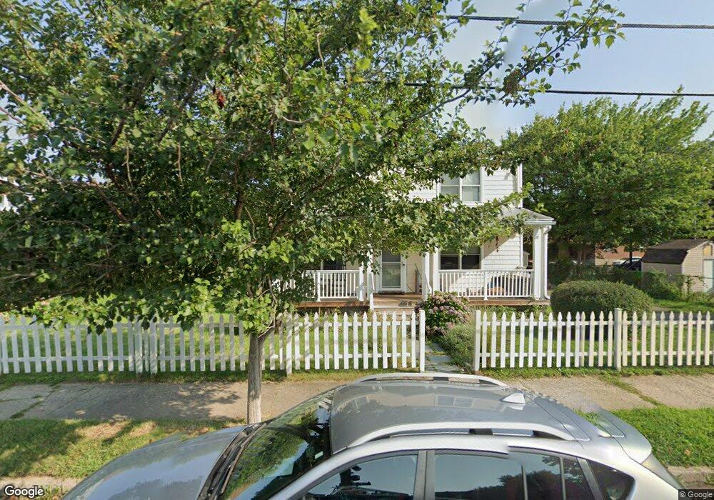
37 Carrie St Bridgeport, CT 06607
East End NeighborhoodEstimated Value: $245,000 - $318,000
3
Beds
2
Baths
1,920
Sq Ft
$152/Sq Ft
Est. Value
About This Home
This home is located at 37 Carrie St, Bridgeport, CT 06607 and is currently estimated at $292,142, approximately $152 per square foot. 37 Carrie St is a home located in Fairfield County with nearby schools including Jettie S. Tisdale School, Harding High School, and Capital Prep Harbor Upper School.
Ownership History
Date
Name
Owned For
Owner Type
Purchase Details
Closed on
Nov 12, 1993
Sold by
Edwards Eureka and Tramel Pauline
Bought by
Edwards Edith
Current Estimated Value
Home Financials for this Owner
Home Financials are based on the most recent Mortgage that was taken out on this home.
Original Mortgage
$24,663
Interest Rate
6.79%
Create a Home Valuation Report for This Property
The Home Valuation Report is an in-depth analysis detailing your home's value as well as a comparison with similar homes in the area
Home Values in the Area
Average Home Value in this Area
Purchase History
| Date | Buyer | Sale Price | Title Company |
|---|---|---|---|
| Edwards Edith | $32,000 | -- | |
| Edwards Edith | $32,000 | -- |
Source: Public Records
Mortgage History
| Date | Status | Borrower | Loan Amount |
|---|---|---|---|
| Closed | Edwards Edith | $24,663 |
Source: Public Records
Tax History Compared to Growth
Tax History
| Year | Tax Paid | Tax Assessment Tax Assessment Total Assessment is a certain percentage of the fair market value that is determined by local assessors to be the total taxable value of land and additions on the property. | Land | Improvement |
|---|---|---|---|---|
| 2025 | $5,407 | $124,440 | $35,990 | $88,450 |
| 2024 | $5,407 | $124,440 | $35,990 | $88,450 |
| 2023 | $5,407 | $124,440 | $35,990 | $88,450 |
| 2022 | $5,407 | $124,440 | $35,990 | $88,450 |
| 2021 | $5,407 | $124,440 | $35,990 | $88,450 |
| 2020 | $5,457 | $101,070 | $20,130 | $80,940 |
| 2019 | $5,457 | $101,070 | $20,130 | $80,940 |
| 2018 | $5,495 | $101,070 | $20,130 | $80,940 |
| 2017 | $5,495 | $101,070 | $20,130 | $80,940 |
| 2016 | $5,495 | $101,070 | $20,130 | $80,940 |
| 2015 | $5,923 | $140,350 | $34,510 | $105,840 |
| 2014 | $5,923 | $140,350 | $34,510 | $105,840 |
Source: Public Records
Map
Nearby Homes
- 306 Carroll Ave
- 363 Carroll Ave Unit 365
- 320 Union Ave
- 408 Union Ave
- 1440 Stratford Ave
- 785 Connecticut Ave Unit 2
- 643 Newfield Ave Unit 645
- 49 Bunnell St Unit 51
- 1034 Connecticut Ave
- 54 6th St
- 610 Wilmot Ave Unit 4
- 591 Wilmot Ave Unit 3
- 566 Wilmot Ave Unit 4
- 580 Wilmot Ave Unit 2
- 205 Smith St
- 40 5th St
- 93 Clifford St
- 819 Connecticut Ave Unit 6
- 68 Edwin St Unit 70
- 221 Bunnell St
- 187 Hollister Ave
- 212 Wilmot Ave
- 236 Wilmot Ave
- 222 Wilmot Ave
- 197 Hollister Ave Unit 199
- 38 Carrie St
- 28 Carrie St
- 238 Wilmot Ave Unit Fl 1
- 238 Wilmot Ave
- 226 Wilmot Ave
- 167 Hollister Ave
- 196 Wilmot Ave
- 217 Hollister Ave Unit a8
- 217 Hollister Ave Unit b5
- 217 Hollister Ave Unit C3
- 217 Hollister Ave Unit C4
- 244 - 246 Wilmot Ave
- 244 Wilmot Ave
- 184 Wilmot Ave
- 254 Wilmot Ave