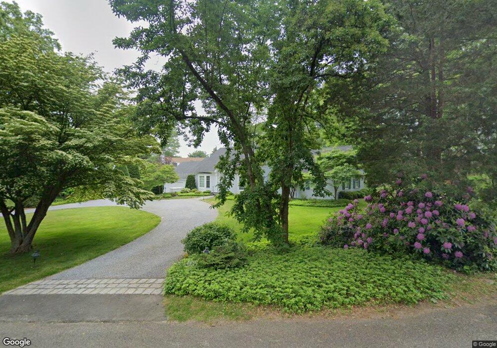
37 Christmas Tree Ln Southport, CT 06890
Southport NeighborhoodEstimated Value: $1,853,000 - $2,459,000
3
Beds
5
Baths
3,622
Sq Ft
$605/Sq Ft
Est. Value
About This Home
This home is located at 37 Christmas Tree Ln, Southport, CT 06890 and is currently estimated at $2,191,810, approximately $605 per square foot. 37 Christmas Tree Ln is a home located in Fairfield County with nearby schools including Mill Hill School, Roger Ludlowe Middle School, and Fairfield Ludlowe High School.
Ownership History
Date
Name
Owned For
Owner Type
Purchase Details
Closed on
Jul 10, 2012
Sold by
Stokes John W
Bought by
John W Stokes Ret
Current Estimated Value
Purchase Details
Closed on
Jun 23, 2006
Sold by
Gordon Myron L Est
Bought by
Stokes John W and Stokes Alice E
Home Financials for this Owner
Home Financials are based on the most recent Mortgage that was taken out on this home.
Original Mortgage
$990,000
Interest Rate
6.59%
Mortgage Type
Purchase Money Mortgage
Purchase Details
Closed on
May 29, 1996
Sold by
Parker Donald L and Parker Alice L
Bought by
Gordon Myron L and Gordon Claire B
Create a Home Valuation Report for This Property
The Home Valuation Report is an in-depth analysis detailing your home's value as well as a comparison with similar homes in the area
Home Values in the Area
Average Home Value in this Area
Purchase History
| Date | Buyer | Sale Price | Title Company |
|---|---|---|---|
| John W Stokes Ret | -- | -- | |
| John W Stokes Ret | -- | -- | |
| Stokes John W | $1,320,000 | -- | |
| Stokes John W | $1,320,000 | -- | |
| Gordon Myron L | $685,000 | -- | |
| Gordon Myron L | $685,000 | -- |
Source: Public Records
Mortgage History
| Date | Status | Borrower | Loan Amount |
|---|---|---|---|
| Previous Owner | Gordon Myron L | $990,000 | |
| Previous Owner | Gordon Myron L | $275,000 |
Source: Public Records
Tax History Compared to Growth
Tax History
| Year | Tax Paid | Tax Assessment Tax Assessment Total Assessment is a certain percentage of the fair market value that is determined by local assessors to be the total taxable value of land and additions on the property. | Land | Improvement |
|---|---|---|---|---|
| 2025 | $23,243 | $818,720 | $542,430 | $276,290 |
| 2024 | $22,842 | $818,720 | $542,430 | $276,290 |
| 2023 | $22,523 | $818,720 | $542,430 | $276,290 |
| 2022 | $22,302 | $818,720 | $542,430 | $276,290 |
| 2021 | $22,089 | $818,720 | $542,430 | $276,290 |
| 2020 | $22,798 | $850,990 | $549,780 | $301,210 |
| 2019 | $22,798 | $850,990 | $549,780 | $301,210 |
| 2018 | $22,432 | $850,990 | $549,780 | $301,210 |
| 2017 | $21,973 | $850,990 | $549,780 | $301,210 |
| 2016 | $21,658 | $850,990 | $549,780 | $301,210 |
| 2015 | $23,824 | $961,030 | $623,490 | $337,540 |
| 2014 | $23,449 | $961,030 | $623,490 | $337,540 |
Source: Public Records
Map
Nearby Homes
- 28 Mill Hill Rd Unit 28
- 100 Overhill Rd
- 88 Overhill Rd
- 53 Hilltop Dr
- 85 Patrick Dr
- 2 Elmwood Dr Unit 2
- 209 S Pine Creek Rd
- 153 Pease Ave
- 57 Beaumont Place
- 844 Mill Hill Terrace
- 646 Mill Hill Terrace
- 21 Beaumont St
- 476 Mill Hill Terrace
- 775 Sasco Hill Rd
- 43 Helen St
- 647 Bronson Rd
- 828 Sasco Hill Rd
- 154 Gorham Rd
- 65 Thorpe St Unit 65
- 65 Thorpe St
- 101 Taintor Dr
- 9 Christmas Tree Ln
- 60 Taintor Dr
- 60 Christmas Tree Ln
- 96 Taintor Dr
- 72 River St
- 141 Taintor Dr
- 120 Taintor Dr
- 36 Taintor Dr
- 21 Taintor Dr
- 73 Christmas Tree Ln
- 70 River St
- 154 Taintor Dr
- 320 Harbor Rd
- 2635 Post Rd Unit 2
- 2635 Post Rd
- 78 Christmas Tree Ln
- 80 Christmas Tree Ln
- 2633 Post Rd
- 2633 Post Rd Unit 2