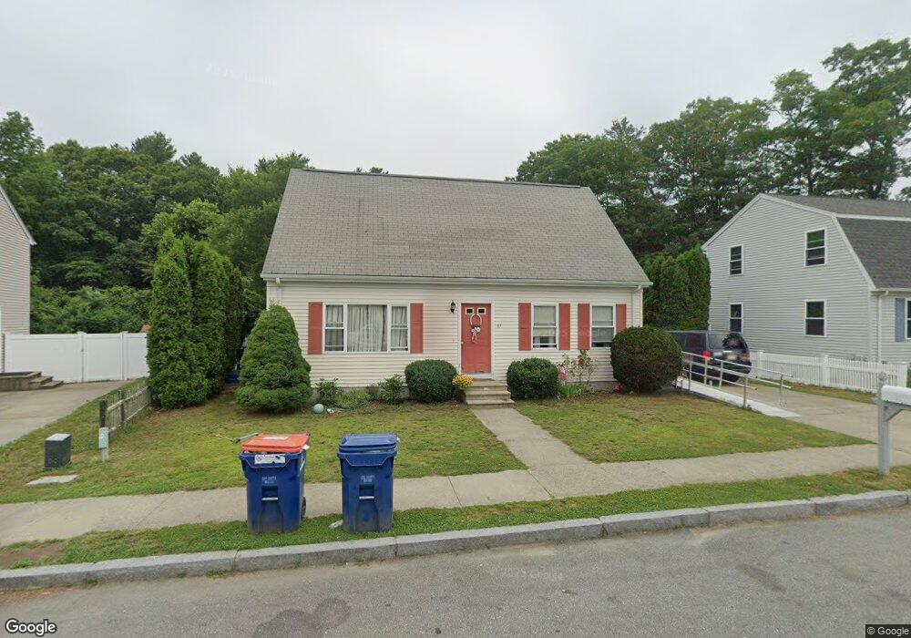
37 Christopher Ct New Bedford, MA 02745
Estimated Value: $456,000 - $485,000
3
Beds
2
Baths
1,426
Sq Ft
$329/Sq Ft
Est. Value
About This Home
This home is located at 37 Christopher Ct, New Bedford, MA 02745 and is currently estimated at $468,857, approximately $328 per square foot. 37 Christopher Ct is a home located in Bristol County with nearby schools including Casimir Pulaski Elementary School, Normandin Middle School, and New Bedford High School.
Ownership History
Date
Name
Owned For
Owner Type
Purchase Details
Closed on
Sep 12, 1997
Sold by
Structures Realty Inc
Bought by
Gonsalves Teotonio and Gonsalves Filomena
Current Estimated Value
Home Financials for this Owner
Home Financials are based on the most recent Mortgage that was taken out on this home.
Original Mortgage
$90,000
Outstanding Balance
$13,752
Interest Rate
7.31%
Mortgage Type
Purchase Money Mortgage
Estimated Equity
$455,105
Create a Home Valuation Report for This Property
The Home Valuation Report is an in-depth analysis detailing your home's value as well as a comparison with similar homes in the area
Home Values in the Area
Average Home Value in this Area
Purchase History
| Date | Buyer | Sale Price | Title Company |
|---|---|---|---|
| Gonsalves Teotonio | $118,900 | -- | |
| Gonsalves Teotonio | $118,900 | -- |
Source: Public Records
Mortgage History
| Date | Status | Borrower | Loan Amount |
|---|---|---|---|
| Open | Gonsalves Teotonio | $90,000 | |
| Closed | Gonsalves Teotonio | $90,000 |
Source: Public Records
Tax History
| Year | Tax Paid | Tax Assessment Tax Assessment Total Assessment is a certain percentage of the fair market value that is determined by local assessors to be the total taxable value of land and additions on the property. | Land | Improvement |
|---|---|---|---|---|
| 2025 | $4,973 | $439,700 | $112,800 | $326,900 |
| 2024 | $4,949 | $412,400 | $122,700 | $289,700 |
| 2023 | $5,526 | $386,700 | $98,700 | $288,000 |
| 2022 | $4,917 | $316,400 | $91,700 | $224,700 |
| 2021 | $4,799 | $307,800 | $91,700 | $216,100 |
| 2020 | $4,811 | $297,700 | $91,700 | $206,000 |
| 2019 | $4,623 | $280,700 | $88,100 | $192,600 |
| 2018 | $4,342 | $261,100 | $88,100 | $173,000 |
| 2017 | $4,071 | $243,900 | $86,400 | $157,500 |
| 2016 | $3,906 | $236,900 | $84,600 | $152,300 |
| 2015 | $3,569 | $226,900 | $81,100 | $145,800 |
| 2014 | $3,362 | $221,800 | $79,300 | $142,500 |
Source: Public Records
Map
Nearby Homes
- 34 Poplar Rd
- 145 Heritage Dr
- SS Charbonneau Ln
- 898 Tobey St
- 1475 Braley Rd Unit 21
- 1475 Braley Rd Unit 17
- 1471 Braley Rd Unit 4
- 973 Pembroke St
- 1575 Braley Rd Unit 28
- WS Phillips Rd
- ES Phillips Rd
- 78 Greenbrier Dr
- 765 Pine Hill Dr
- 4597 Acushnet Ave
- 1015 Forbes St
- 40 Foley Dr
- 0 Keene Rd Unit 73459818
- ES Acushnet Ave
- 56 Chipaway Rd
- 168 Keene Rd
- 43 Christopher Ct
- 31 Christopher Ct
- 34 Christopher Ct
- 27 Christopher Ct
- 40 Christopher Ct
- 23 Christopher Ct
- 14 Christopher Ct
- 46 Christopher Ct
- 15 Christopher Ct
- 11 Christopher Ct
- 1149 Braley Rd
- 1145 Braley Rd
- 1127 Braley Rd
- 5 Christopher Ct
- 1113 Braley Rd
- 1154 Braley Rd
- 1105 Braley Rd
- 1130 Braley Rd
- 1142 Braley Rd
- 1116 Braley Rd
Your Personal Tour Guide
Ask me questions while you tour the home.