37 Clark Hill Rd Wassaic, NY 12592
Estimated Value: $682,000 - $878,000
3
Beds
1
Bath
2,818
Sq Ft
$266/Sq Ft
Est. Value
About This Home
This home is located at 37 Clark Hill Rd, Wassaic, NY 12592 and is currently estimated at $749,719, approximately $266 per square foot. 37 Clark Hill Rd is a home with nearby schools including Eugene Brooks Intermediate School.
Ownership History
Date
Name
Owned For
Owner Type
Purchase Details
Closed on
Nov 13, 2006
Sold by
Schafer Diane
Bought by
Durbridge Andrew
Current Estimated Value
Home Financials for this Owner
Home Financials are based on the most recent Mortgage that was taken out on this home.
Original Mortgage
$250,000
Outstanding Balance
$76,692
Interest Rate
6.33%
Mortgage Type
Purchase Money Mortgage
Estimated Equity
$673,027
Purchase Details
Closed on
Mar 31, 1997
Sold by
Brenstein Hwoard I
Bought by
Schafer Diane
Create a Home Valuation Report for This Property
The Home Valuation Report is an in-depth analysis detailing your home's value as well as a comparison with similar homes in the area
Home Values in the Area
Average Home Value in this Area
Purchase History
| Date | Buyer | Sale Price | Title Company |
|---|---|---|---|
| Durbridge Andrew | $452,000 | Michele Haab | |
| Schafer Diane | $199,000 | -- |
Source: Public Records
Mortgage History
| Date | Status | Borrower | Loan Amount |
|---|---|---|---|
| Open | Durbridge Andrew | $250,000 |
Source: Public Records
Tax History Compared to Growth
Tax History
| Year | Tax Paid | Tax Assessment Tax Assessment Total Assessment is a certain percentage of the fair market value that is determined by local assessors to be the total taxable value of land and additions on the property. | Land | Improvement |
|---|---|---|---|---|
| 2024 | $9,444 | $644,200 | $95,200 | $549,000 |
| 2023 | $11,991 | $625,400 | $93,300 | $532,100 |
| 2022 | $12,965 | $563,400 | $86,400 | $477,000 |
| 2021 | $8,987 | $507,600 | $86,400 | $421,200 |
| 2020 | $9,006 | $507,600 | $86,400 | $421,200 |
| 2019 | $8,922 | $518,000 | $88,200 | $429,800 |
| 2018 | $10,548 | $545,300 | $88,200 | $457,100 |
| 2017 | $10,258 | $545,300 | $88,200 | $457,100 |
| 2016 | $10,512 | $545,300 | $88,200 | $457,100 |
| 2015 | -- | $545,300 | $88,200 | $457,100 |
| 2014 | -- | $545,300 | $88,200 | $457,100 |
Source: Public Records
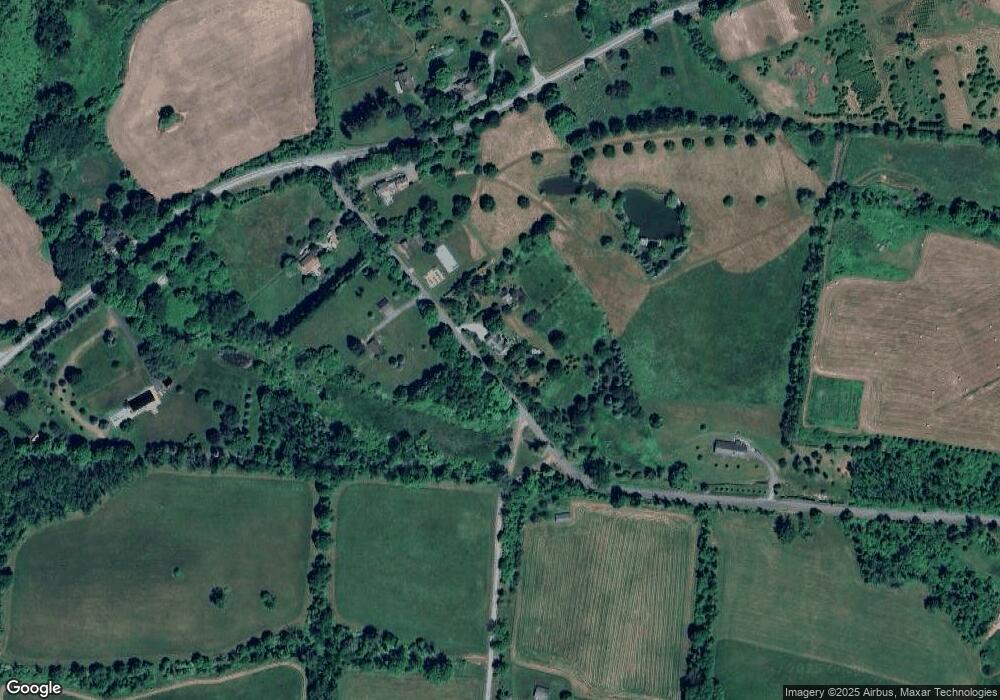
Map
Nearby Homes
- 0 Kent Rd Unit 20252538
- 0 Kent Rd Unit KEY882325
- 23 Bog Hollow Rd
- 96 Knibloe Hill Rd
- 30 Knibloe Hill Rd
- 34 Knibloe Hill Rd
- 31 Old Route 22
- 352 Old Route 22
- 33 Nodine Pasture Rd
- 22 Old State Route
- 287 Amenia Union Rd
- 18 Furnace Bank Rd Unit 2
- 263 Bog Hollow Rd
- 80 Hunter Ln
- 28 Yellow City Rd
- 10 Flood Dr
- 12 W Mountain Rd
- 3 W Mountain Rd
- 51 Depot Hill Rd
- 54 Midway Ave
- 18 Clark Hill Rd
- 8 Amenia Union Rd
- 2 Clark Hill Rd
- 8 Amenia Union Rd
- 63 Clark Hill Rd
- 17 Amenia Union Rd
- 35 Oblong Ridge Ln
- 346 S Amenia Rd
- 349 S Amenia Rd
- 335 S Amenia Rd
- 330 S Amenia Rd
- 327 S Amenia Rd Unit 3
- 327 S Amenia Rd
- 327 S Amenia Rd
- 320 S Amenia Rd
- 308 S Amenia Rd
- 298 S Amenia Rd
- 80 Amenia Union Rd
- 100 Amenia Union Rd
- 280 S Amenia Rd