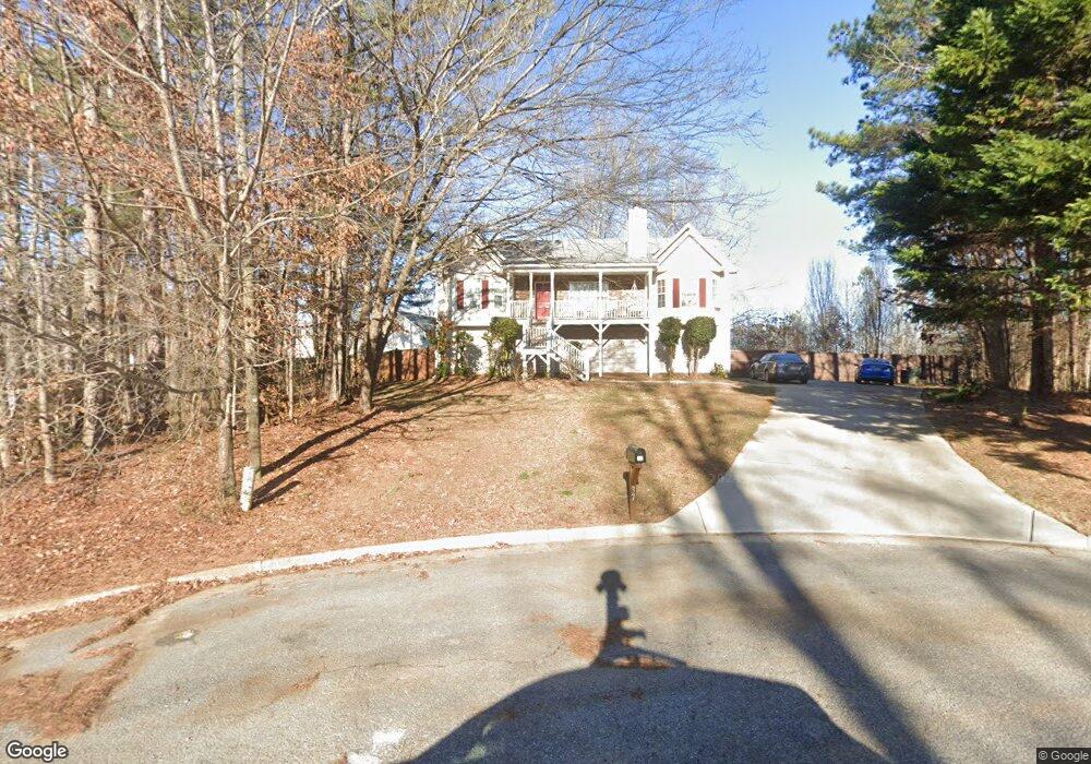
37 Clint Ct Temple, GA 30179
Estimated Value: $275,000 - $293,000
3
Beds
2
Baths
1,366
Sq Ft
$208/Sq Ft
Est. Value
About This Home
This home is located at 37 Clint Ct, Temple, GA 30179 and is currently estimated at $284,289, approximately $208 per square foot. 37 Clint Ct is a home located in Paulding County with nearby schools including Union Elementary School, Carl Scoggins Sr. Middle School, and South Paulding High School.
Ownership History
Date
Name
Owned For
Owner Type
Purchase Details
Closed on
Nov 15, 2002
Sold by
Valleybrooke Hms Inc
Bought by
Wootoon Jennifer L and Wootoon David
Current Estimated Value
Home Financials for this Owner
Home Financials are based on the most recent Mortgage that was taken out on this home.
Original Mortgage
$119,800
Outstanding Balance
$49,920
Interest Rate
5.95%
Mortgage Type
FHA
Estimated Equity
$234,369
Create a Home Valuation Report for This Property
The Home Valuation Report is an in-depth analysis detailing your home's value as well as a comparison with similar homes in the area
Home Values in the Area
Average Home Value in this Area
Purchase History
| Date | Buyer | Sale Price | Title Company |
|---|---|---|---|
| Wootoon Jennifer L | $120,800 | -- |
Source: Public Records
Mortgage History
| Date | Status | Borrower | Loan Amount |
|---|---|---|---|
| Open | Wootoon Jennifer L | $119,800 |
Source: Public Records
Tax History Compared to Growth
Tax History
| Year | Tax Paid | Tax Assessment Tax Assessment Total Assessment is a certain percentage of the fair market value that is determined by local assessors to be the total taxable value of land and additions on the property. | Land | Improvement |
|---|---|---|---|---|
| 2024 | $2,820 | $116,596 | $12,000 | $104,596 |
| 2023 | $2,794 | $109,692 | $12,000 | $97,692 |
| 2022 | $2,440 | $95,484 | $12,000 | $83,484 |
| 2021 | $1,989 | $70,316 | $8,000 | $62,316 |
| 2020 | $2,007 | $69,432 | $8,000 | $61,432 |
| 2019 | $1,563 | $53,728 | $8,000 | $45,728 |
| 2018 | $1,568 | $53,896 | $8,000 | $45,896 |
| 2017 | $1,428 | $48,620 | $8,000 | $40,620 |
| 2016 | $1,393 | $47,936 | $8,000 | $39,936 |
| 2015 | $1,079 | $36,912 | $8,000 | $28,912 |
| 2014 | $1,011 | $33,880 | $8,000 | $25,880 |
| 2013 | -- | $26,280 | $8,000 | $18,280 |
Source: Public Records
Map
Nearby Homes
- 508 Millertown Rd
- 59 Mullberry Path
- 703 Mulberry Rock Rd
- 723 Mulberry Rock Rd
- 728 Harmony Rd
- 00 Billy Bullock Rd
- 00002 Boulder View Pkwy
- 270 Harmony Woods Dr
- 281 Harmony Woods Dr
- 292 Harmony Woods Dr
- 15 Quarry Ln
- 8713 Buchanan Hwy
- 34 Harmony Ridge Dr
- 453 Mulberry Rock Rd
- 391 Mulberry Rock Rd
- 0 Billy Bullock Rd Unit 10622076
- 19 Safe Harbor Trail
- 104 Federal Path
- 363 Safe Harbor Dr
- 957 Georgia 101
- 37 Clint Ct Unit 21
- 15 Clint Ct
- 210 Makayla Way
- 44 Clint Ct
- 00 Nix Path
- 0 Nix Path Unit 3219792
- 40 Clint Ct
- 34 Clint Ct
- 161 Makayla Way
- 203 Gilberts Way
- 211 Gilberts Way
- 201 Makayla Way
- 74 Makayla Way
- 133 Makayla Way
- 115 Makayla Way
- 213 Makayla Way
- 101 Makayla Way
- 81 Makayla Way
- 155 Gilberts Way
- 11 Nix Path