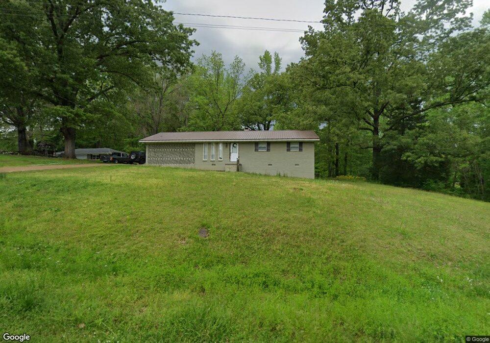
37 Co Rd 312 Corinth, MI 38834
Estimated Value: $149,658 - $253,000
3
Beds
3
Baths
1,338
Sq Ft
$139/Sq Ft
Est. Value
About This Home
This home is located at 37 Co Rd 312, Corinth, MI 38834 and is currently estimated at $186,415, approximately $139 per square foot. 37 Co Rd 312 is a home located in Alcorn County with nearby schools including First Baptist Church Kindergarten and Parkway Christian Academy.
Ownership History
Date
Name
Owned For
Owner Type
Purchase Details
Closed on
Sep 29, 2023
Bought by
Oathout Brendan Ocon and Oathout Angelica J
Current Estimated Value
Purchase Details
Closed on
Feb 11, 2010
Sold by
Vanderford Raynie Ross
Bought by
Anderson Mary Beth
Home Financials for this Owner
Home Financials are based on the most recent Mortgage that was taken out on this home.
Original Mortgage
$50,000
Interest Rate
5%
Purchase Details
Closed on
Jan 31, 2008
Sold by
Vanderford Bobby J
Bought by
Vanderford Raynie Ross
Home Financials for this Owner
Home Financials are based on the most recent Mortgage that was taken out on this home.
Original Mortgage
$82,000
Interest Rate
6.06%
Purchase Details
Closed on
Jun 26, 2007
Sold by
Johnson Clarence L and Johnson Dorothy M
Bought by
Vanderford Bobby J
Create a Home Valuation Report for This Property
The Home Valuation Report is an in-depth analysis detailing your home's value as well as a comparison with similar homes in the area
Purchase History
| Date | Buyer | Sale Price | Title Company |
|---|---|---|---|
| Oathout Brendan Ocon | $150,000 | -- | |
| Anderson Mary Beth | -- | -- | |
| Vanderford Raynie Ross | -- | -- | |
| Vanderford Bobby J | -- | -- |
Source: Public Records
Mortgage History
| Date | Status | Borrower | Loan Amount |
|---|---|---|---|
| Previous Owner | Anderson Mary Beth | $50,000 | |
| Previous Owner | Vanderford Raynie Ross | $82,000 |
Source: Public Records
Tax History
| Year | Tax Paid | Tax Assessment Tax Assessment Total Assessment is a certain percentage of the fair market value that is determined by local assessors to be the total taxable value of land and additions on the property. | Land | Improvement |
|---|---|---|---|---|
| 2025 | $1,048 | $9,572 | $0 | $0 |
| 2024 | $1,048 | $9,016 | $0 | $0 |
| 2023 | $481 | $6,355 | $0 | $0 |
| 2022 | $481 | $6,355 | $0 | $0 |
| 2021 | $477 | $6,324 | $0 | $0 |
| 2020 | $466 | $6,180 | $0 | $0 |
| 2019 | $466 | $6,180 | $0 | $0 |
| 2018 | $466 | $6,180 | $0 | $0 |
| 2017 | $466 | $0 | $0 | $0 |
| 2016 | $405 | $0 | $0 | $0 |
| 2015 | -- | $0 | $0 | $0 |
| 2014 | -- | $0 | $0 | $0 |
Source: Public Records
Map
Nearby Homes
- 21 Waukomis Lake Rd
- 0 Cr 459 Unit 25-927
- 0 Cr 459 Unit 25-933
- 0 Highway 72 Unit 25-3948
- 0 Highway 72 Unit 25-3702
- Lot 2 Cr 405
- 3 County Road 470
- 197 County Road 318
- 0 S Parkway St
- 0 Droke Rd
- S N Harper Rd
- 14 Shady Wood Ln
- 120 Clifton Dr
- 1500 Highway 72
- Clifton Ln
- 1427 Droke Rd
- 2712 S Harper Rd
- 17 Rollingwood Cir
- 306 S Johns St
- 112 W Melody Ln
- 45 County Road 312
- 36 County Road 312
- 33 County Road 312
- 34 County Road 312
- 32 County Road 312
- 29 County Road 312
- 38 County Road 313
- 38 County Road 313
- 55 County Road 312
- 50 County Road 312
- 40 County Road 313
- 42 County Road 313
- 57 County Road 312
- 28 County Road 312
- 27 County Road 312
- 56 County Road 312
- 46 County Road 313
- 26 County Road 312
- 59 Cr 312
- 58 County Road 312
Your Personal Tour Guide
Ask me questions while you tour the home.