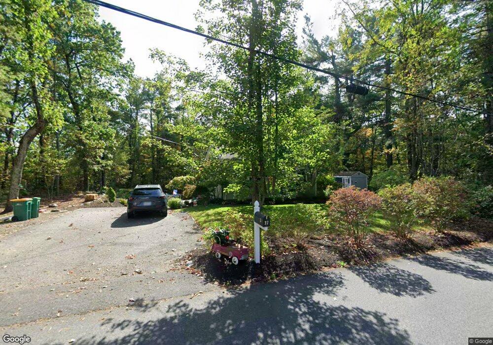
37 Coal Kiln Rd Unit 1 Princeton, MA 01541
Estimated Value: $592,000 - $654,000
3
Beds
2
Baths
2,200
Sq Ft
$280/Sq Ft
Est. Value
About This Home
This home is located at 37 Coal Kiln Rd Unit 1, Princeton, MA 01541 and is currently estimated at $614,990, approximately $279 per square foot. 37 Coal Kiln Rd Unit 1 is a home located in Worcester County with nearby schools including Wachusett Regional High School.
Ownership History
Date
Name
Owned For
Owner Type
Purchase Details
Closed on
Jan 28, 2025
Sold by
Maypother Karen M
Bought by
Hofford-Maypother Ft and Maypother
Current Estimated Value
Purchase Details
Closed on
Jul 21, 2020
Sold by
Partridge David B and Partridge Christina S
Bought by
Maypother Karen M
Home Financials for this Owner
Home Financials are based on the most recent Mortgage that was taken out on this home.
Original Mortgage
$227,500
Interest Rate
3.2%
Mortgage Type
New Conventional
Purchase Details
Closed on
Jul 18, 2016
Sold by
Jrk Rt and Kosinski
Bought by
Partridge David B and Partridge Christina B
Home Financials for this Owner
Home Financials are based on the most recent Mortgage that was taken out on this home.
Original Mortgage
$262,800
Interest Rate
3.66%
Mortgage Type
New Conventional
Purchase Details
Closed on
Apr 1, 2011
Sold by
Kaake Michael T and Doherty Charles W
Bought by
Jrk Rt
Purchase Details
Closed on
Jan 13, 2009
Sold by
Kaake Michael T
Bought by
Doherty Charles W and Kaake Michael T
Home Financials for this Owner
Home Financials are based on the most recent Mortgage that was taken out on this home.
Original Mortgage
$0
Interest Rate
5.01%
Mortgage Type
Purchase Money Mortgage
Purchase Details
Closed on
Apr 15, 2008
Sold by
Clark David W and Ocwen Loan Servicing L
Bought by
Wells Fargo Bk
Purchase Details
Closed on
Feb 27, 2007
Sold by
Clark David W and Clark Patricia I
Bought by
Clark Patricia I
Purchase Details
Closed on
Dec 23, 2003
Sold by
Clark Patricia I and Clark Patricia
Bought by
Clark David W and Clark Patricia I
Create a Home Valuation Report for This Property
The Home Valuation Report is an in-depth analysis detailing your home's value as well as a comparison with similar homes in the area
Home Values in the Area
Average Home Value in this Area
Purchase History
| Date | Buyer | Sale Price | Title Company |
|---|---|---|---|
| Hofford-Maypother Ft | -- | None Available | |
| Hofford-Maypother Ft | -- | None Available | |
| Maypother Karen M | $353,500 | None Available | |
| Maypother Karen M | $353,500 | None Available | |
| Partridge David B | $292,000 | -- | |
| Partridge David B | $292,000 | -- | |
| Jrk Rt | $262,000 | -- | |
| Jrk Rt | $262,000 | -- | |
| Doherty Charles W | -- | -- | |
| Kaake Michael T | $85,000 | -- | |
| Doherty Charles W | -- | -- | |
| Kaake Michael T | $85,000 | -- | |
| Wells Fargo Bk | $181,350 | -- | |
| Wells Fargo Bk | $181,350 | -- | |
| Clark Patricia I | -- | -- | |
| Clark Patricia I | -- | -- | |
| Clark David W | -- | -- | |
| Clark David W | -- | -- | |
| Clark David W | -- | -- |
Source: Public Records
Mortgage History
| Date | Status | Borrower | Loan Amount |
|---|---|---|---|
| Previous Owner | Maypother Karen M | $227,500 | |
| Previous Owner | Partridge David B | $262,800 | |
| Previous Owner | Kaake Michael T | $0 | |
| Previous Owner | Doherty Charles W | $129,500 |
Source: Public Records
Tax History Compared to Growth
Tax History
| Year | Tax Paid | Tax Assessment Tax Assessment Total Assessment is a certain percentage of the fair market value that is determined by local assessors to be the total taxable value of land and additions on the property. | Land | Improvement |
|---|---|---|---|---|
| 2025 | $7,561 | $520,400 | $119,200 | $401,200 |
| 2024 | $6,914 | $492,800 | $117,000 | $375,800 |
| 2023 | $6,489 | $428,600 | $92,400 | $336,200 |
| 2022 | $6,198 | $395,300 | $92,400 | $302,900 |
| 2021 | $5,247 | $325,500 | $92,400 | $233,100 |
| 2020 | $5,089 | $321,100 | $92,400 | $228,700 |
| 2019 | $5,032 | $314,100 | $89,800 | $224,300 |
| 2018 | $4,966 | $287,400 | $74,200 | $213,200 |
| 2017 | $4,667 | $262,500 | $103,400 | $159,100 |
| 2016 | $4,673 | $262,500 | $103,400 | $159,100 |
| 2015 | $4,346 | $251,200 | $105,200 | $146,000 |
Source: Public Records
Map
Nearby Homes
- 17 Coal Kiln Rd
- 20 Town Farm Rd
- 100 Houghton Rd
- 28 Merriam Rd
- 11 Mirick Rd
- 751 Mason Rd
- 20 Mountain Rd
- 14 Oak Cir
- 58 Merriam Rd
- 9 Stagecoach Rd
- 15 Stagecoach Rd
- 134 Mountain Rd
- 166 Ball Hill Rd
- 161 Beaman Rd
- 193 Justice Hill Road Cutoff
- 45 Neylon St
- 0 North St
- 56 Hubbardston Rd
- 46 Pine Hill Rd
- 47 Pine Hill Rd
- 37 Coal Kiln Rd
- 33 Coal Kiln Rd
- 38 Coal Kiln Rd
- 41 Coal Kiln Rd
- 42 Coal Kiln Rd
- 29 Coal Kiln Rd
- 3 Whitaker Ln
- 49 Coal Kiln Rd
- 11 Whitaker Ln
- 45 Coal Kiln Rd
- 25 Coal Kiln Rd
- 46 Coal Kiln Rd
- 50 Coal Kiln Rd
- 4 Whitaker Ln
- 13 Whitaker Ln
- 21 Coal Kiln Rd
- 12 Whitaker Ln
- 54 Coal Kiln Rd
- 24 Coal Kiln Rd
- 19 Whitaker Ln