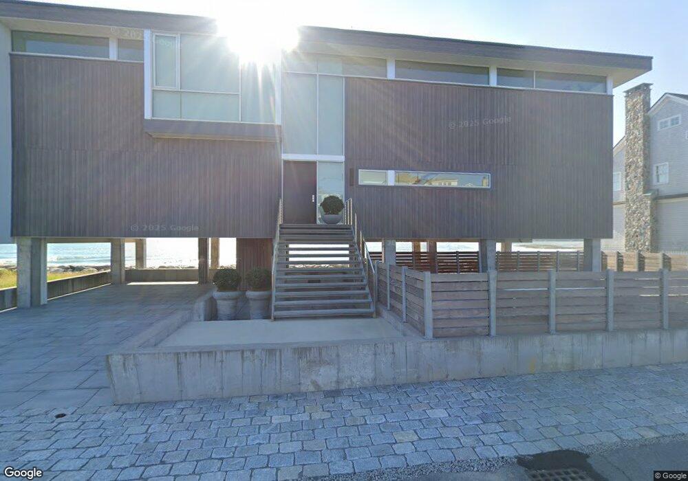
37 Collier Rd Scituate, MA 02066
Estimated Value: $2,632,000 - $3,530,000
2
Beds
3
Baths
3,876
Sq Ft
$818/Sq Ft
Est. Value
About This Home
This home is located at 37 Collier Rd, Scituate, MA 02066 and is currently estimated at $3,172,267, approximately $818 per square foot. 37 Collier Rd is a home located in Plymouth County with nearby schools including Jenkins Elementary School, Lester J. Gates Middle School, and Scituate High School.
Ownership History
Date
Name
Owned For
Owner Type
Purchase Details
Closed on
Jun 13, 2016
Sold by
Masker Steven R
Bought by
Masker Steven R and Trifone William J
Current Estimated Value
Purchase Details
Closed on
Aug 26, 2013
Sold by
Patterson Scott D
Bought by
Trifone William and Masker Steven
Purchase Details
Closed on
Sep 26, 2008
Sold by
Conway Carol A and Conway Kenneth J
Bought by
Masker Steven R and Trifone William J
Home Financials for this Owner
Home Financials are based on the most recent Mortgage that was taken out on this home.
Original Mortgage
$692,000
Interest Rate
6.57%
Mortgage Type
Purchase Money Mortgage
Purchase Details
Closed on
Dec 17, 1998
Sold by
Moore Eleanor F
Bought by
Patterson Scott D
Create a Home Valuation Report for This Property
The Home Valuation Report is an in-depth analysis detailing your home's value as well as a comparison with similar homes in the area
Home Values in the Area
Average Home Value in this Area
Purchase History
| Date | Buyer | Sale Price | Title Company |
|---|---|---|---|
| Masker Steven R | -- | -- | |
| Trifone William | $560,000 | -- | |
| Masker Steven R | $865,000 | -- | |
| Patterson Scott D | $233,000 | -- |
Source: Public Records
Mortgage History
| Date | Status | Borrower | Loan Amount |
|---|---|---|---|
| Previous Owner | Patterson Scott D | $692,000 | |
| Previous Owner | Patterson Scott D | $400,000 | |
| Previous Owner | Patterson Scott D | $312,000 |
Source: Public Records
Tax History
| Year | Tax Paid | Tax Assessment Tax Assessment Total Assessment is a certain percentage of the fair market value that is determined by local assessors to be the total taxable value of land and additions on the property. | Land | Improvement |
|---|---|---|---|---|
| 2025 | $30,568 | $3,059,900 | $1,430,300 | $1,629,600 |
| 2024 | $29,801 | $2,876,500 | $1,372,500 | $1,504,000 |
| 2023 | $25,924 | $2,437,000 | $1,247,800 | $1,189,200 |
| 2022 | $25,924 | $2,054,200 | $1,045,600 | $1,008,600 |
| 2021 | $21,876 | $1,641,100 | $995,900 | $645,200 |
| 2020 | $18,324 | $1,357,300 | $957,400 | $399,900 |
| 2019 | $13,652 | $993,600 | $938,600 | $55,000 |
| 2018 | $13,300 | $953,400 | $938,400 | $15,000 |
| 2017 | $8,317 | $590,300 | $537,800 | $52,500 |
| 2016 | $8,241 | $582,800 | $530,300 | $52,500 |
| 2015 | $7,438 | $567,800 | $515,300 | $52,500 |
Source: Public Records
Map
Nearby Homes
- 59 Greenfield Ln
- 55 Crescent Ave
- 15 Bearce Ln
- 26 Damons Point Cir
- 34 Ladds Way
- 50 First Parish Rd
- 91 Front St Unit 106
- 76 Macombers Way
- 55 Macombers Way
- 19 Ford Place Unit 1
- 19 Ford Place Unit 2
- 21 Jenkins Place
- 23 Sunset Rd
- 25 Morton Place
- 14 Old Country Way Unit C
- 14 Old Country Way Unit B
- 48 Neal Gate St
- 138 Judge Cushing Rd
- 9 Cushing Park Rd
- 46 Tilden Rd
Your Personal Tour Guide
Ask me questions while you tour the home.