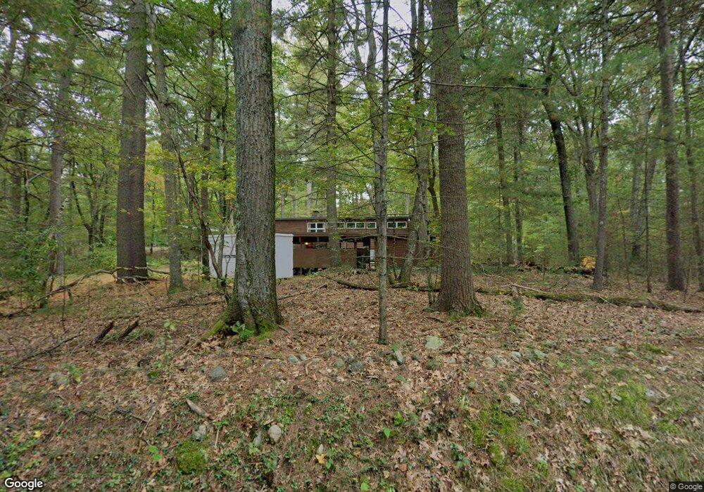
37 Conant Rd Lincoln, MA 01773
Estimated Value: $1,454,000 - $2,476,000
3
Beds
3
Baths
2,268
Sq Ft
$790/Sq Ft
Est. Value
About This Home
This home is located at 37 Conant Rd, Lincoln, MA 01773 and is currently estimated at $1,792,008, approximately $790 per square foot. 37 Conant Rd is a home located in Middlesex County with nearby schools including Lincoln-Sudbury Regional High School and The Cambridge School Of Weston.
Ownership History
Date
Name
Owned For
Owner Type
Purchase Details
Closed on
Apr 29, 2024
Sold by
Little John D
Bought by
John D C Little 1997 T D and John Little
Current Estimated Value
Purchase Details
Closed on
Sep 19, 1963
Bought by
Little John D and Little Elizabeth A
Create a Home Valuation Report for This Property
The Home Valuation Report is an in-depth analysis detailing your home's value as well as a comparison with similar homes in the area
Home Values in the Area
Average Home Value in this Area
Purchase History
| Date | Buyer | Sale Price | Title Company |
|---|---|---|---|
| John D C Little 1997 T D | -- | None Available | |
| John D C Little 1997 T D | -- | None Available | |
| Little John D | $42,500 | -- |
Source: Public Records
Tax History
| Year | Tax Paid | Tax Assessment Tax Assessment Total Assessment is a certain percentage of the fair market value that is determined by local assessors to be the total taxable value of land and additions on the property. | Land | Improvement |
|---|---|---|---|---|
| 2025 | $16,668 | $1,301,200 | $958,200 | $343,000 |
| 2024 | $16,433 | $1,274,900 | $935,800 | $339,100 |
| 2023 | $14,686 | $1,055,000 | $763,800 | $291,200 |
| 2022 | $14,385 | $963,500 | $708,600 | $254,900 |
| 2021 | $13,939 | $898,100 | $663,800 | $234,300 |
| 2020 | $14,100 | $918,000 | $687,800 | $230,200 |
| 2019 | $12,603 | $898,300 | $670,200 | $228,100 |
| 2018 | $12,217 | $898,300 | $670,200 | $228,100 |
| 2017 | $12,105 | $883,600 | $663,800 | $219,800 |
| 2016 | $12,076 | $863,200 | $645,400 | $217,800 |
| 2015 | $11,473 | $810,800 | $599,000 | $211,800 |
| 2014 | $10,888 | $755,600 | $559,800 | $195,800 |
Source: Public Records
Map
Nearby Homes
- 8 Silver Hill Rd
- 45 Winter St
- 130 Tower Rd
- 416 Conant Rd
- 45 Weston Rd
- 6 Clifford Ln
- 77 Old County Rd
- 15 Myles Standish Rd
- 183 Kings Grant Rd
- 46 Blackburnian Rd
- 59 Bradyll Rd
- 35 Bemis St
- 11 Winthrop Cir
- 100 Bradford Rd
- 23 Bedford Rd
- 40 Bakers Hill Rd
- 156 Cherry Brook Rd
- 89 Lexington Rd
- 69 Page Rd
- 44 Baker Bridge Rd
Your Personal Tour Guide
Ask me questions while you tour the home.