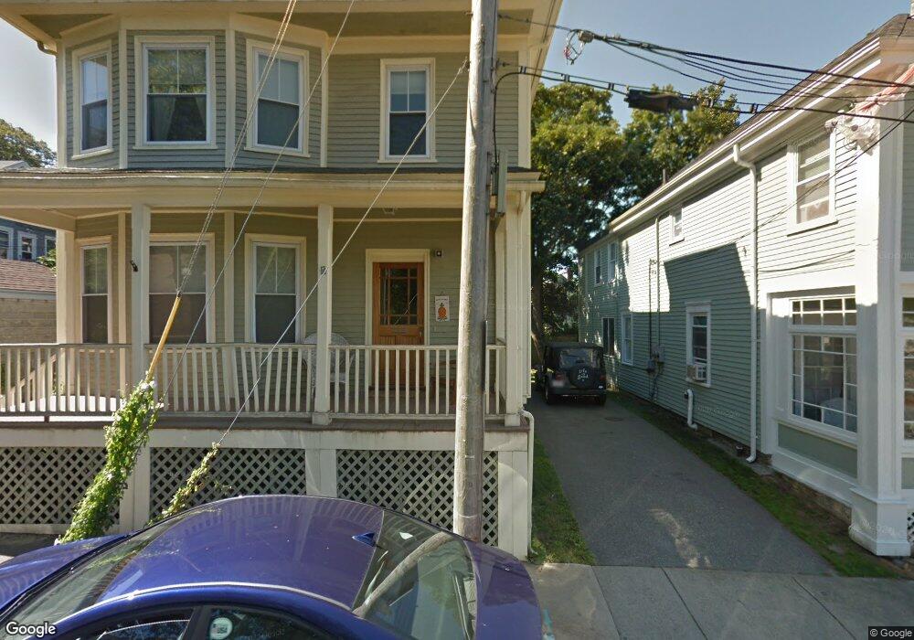
37 Dennison St Newport, RI 02840
Historic Hill NeighborhoodEstimated Value: $1,195,000 - $1,822,000
6
Beds
2
Baths
2,496
Sq Ft
$596/Sq Ft
Est. Value
About This Home
This home is located at 37 Dennison St, Newport, RI 02840 and is currently estimated at $1,486,577, approximately $595 per square foot. 37 Dennison St is a home located in Newport County with nearby schools including Rogers High School, St Michael's Country Day School, and All Saints STEAM Academy.
Ownership History
Date
Name
Owned For
Owner Type
Purchase Details
Closed on
Jun 15, 2004
Sold by
Ohara Michael and Ohara Nora
Bought by
Lowenstein Douglas and Lowenstein Cecelia
Current Estimated Value
Home Financials for this Owner
Home Financials are based on the most recent Mortgage that was taken out on this home.
Original Mortgage
$200,000
Interest Rate
5.99%
Mortgage Type
Purchase Money Mortgage
Purchase Details
Closed on
Jan 30, 2001
Sold by
Murphy Eleanor L
Bought by
Ohara Michael P and Ohara Nora
Home Financials for this Owner
Home Financials are based on the most recent Mortgage that was taken out on this home.
Original Mortgage
$232,000
Interest Rate
7.39%
Mortgage Type
Purchase Money Mortgage
Create a Home Valuation Report for This Property
The Home Valuation Report is an in-depth analysis detailing your home's value as well as a comparison with similar homes in the area
Home Values in the Area
Average Home Value in this Area
Purchase History
| Date | Buyer | Sale Price | Title Company |
|---|---|---|---|
| Lowenstein Douglas | $485,000 | -- | |
| Ohara Michael P | $290,000 | -- |
Source: Public Records
Mortgage History
| Date | Status | Borrower | Loan Amount |
|---|---|---|---|
| Open | Ohara Michael P | $192,000 | |
| Closed | Ohara Michael P | $200,000 | |
| Previous Owner | Ohara Michael P | $232,000 | |
| Previous Owner | Ohara Michael P | $31,125 |
Source: Public Records
Tax History Compared to Growth
Tax History
| Year | Tax Paid | Tax Assessment Tax Assessment Total Assessment is a certain percentage of the fair market value that is determined by local assessors to be the total taxable value of land and additions on the property. | Land | Improvement |
|---|---|---|---|---|
| 2025 | $7,416 | $1,032,800 | $376,100 | $656,700 |
| 2024 | $8,408 | $1,022,900 | $376,100 | $646,800 |
| 2023 | $6,351 | $640,200 | $245,800 | $394,400 |
| 2022 | $6,152 | $640,200 | $245,800 | $394,400 |
| 2021 | $5,973 | $640,200 | $245,800 | $394,400 |
| 2020 | $5,399 | $525,200 | $220,000 | $305,200 |
| 2019 | $5,399 | $525,200 | $220,000 | $305,200 |
| 2018 | $5,247 | $525,200 | $220,000 | $305,200 |
| 2017 | $4,934 | $440,100 | $157,300 | $282,800 |
| 2016 | $4,810 | $440,100 | $157,300 | $282,800 |
| 2015 | $4,696 | $440,100 | $157,300 | $282,800 |
| 2014 | $4,836 | $401,000 | $133,700 | $267,300 |
Source: Public Records
Map
Nearby Homes
- 28 Young St
- 30 Brewer St Unit 3
- 24 Brown and Howard Wharf Unit 301
- 30 S Baptist St
- 26 Franklin St
- 13 Dean Ave
- 75 Pelham St Unit B
- 6 Sharon Ct
- 604 Thames & 4 Dixon St
- 26 Freebody St
- 50 School St Unit 7
- 20 Berkeley Ave Unit 2
- 130 Spring St Unit 132
- 364 Bellevue Ave Unit D7
- 50 E Bowery St
- 19 Slocum St
- 8 Cottage St Unit 2
- 21 Slocum St
- 24 Old Beach Rd
- 5 Lowndes St
- 325 Spring St Unit 2
- 327 Spring St Unit 1
- 327 Spring St Unit 2
- 327 Spring St
- 34 Young St
- 31 Dennison St
- 329 Spring St
- 33 Dennison St
- 33 Dennison St Unit 1
- 32 Young St
- 29 Dennison St
- 29 Dennison St Unit 1
- 30 Young St
- 30 Young St Unit 3
- 30 Young St Unit 1
- 331 Spring St
- 331 Spring St Unit 3
- 331 Spring St Unit 3 Floor
- 25 Dennison St
- 25 Dennison St Unit 2