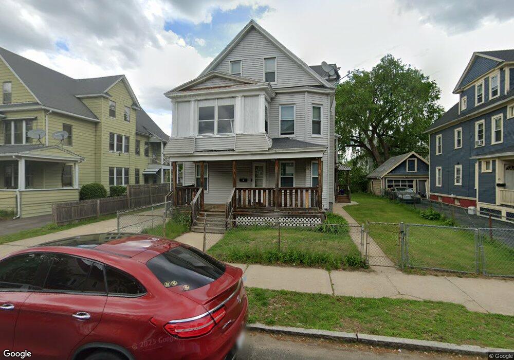
37 Dunmoreland St Unit 39 Springfield, MA 01109
Upper Hill NeighborhoodEstimated Value: $255,755 - $390,000
7
Beds
2
Baths
3,239
Sq Ft
$98/Sq Ft
Est. Value
About This Home
This home is located at 37 Dunmoreland St Unit 39, Springfield, MA 01109 and is currently estimated at $318,939, approximately $98 per square foot. 37 Dunmoreland St Unit 39 is a home located in Hampden County with nearby schools including Mary M. Walsh Elementary School, M Marcus Kiley Middle, and Springfield High School of Science and Technology.
Ownership History
Date
Name
Owned For
Owner Type
Purchase Details
Closed on
Jun 15, 1995
Sold by
Bodner Martin and Ampleman Jacques
Bought by
Greaves George and Greaves Petra
Current Estimated Value
Home Financials for this Owner
Home Financials are based on the most recent Mortgage that was taken out on this home.
Original Mortgage
$71,000
Interest Rate
8.24%
Mortgage Type
Purchase Money Mortgage
Purchase Details
Closed on
Apr 12, 1993
Sold by
Jones Robert D and Jones Louise
Bought by
Bodner Martin and Ampleman Jacques
Create a Home Valuation Report for This Property
The Home Valuation Report is an in-depth analysis detailing your home's value as well as a comparison with similar homes in the area
Home Values in the Area
Average Home Value in this Area
Purchase History
| Date | Buyer | Sale Price | Title Company |
|---|---|---|---|
| Greaves George | $79,900 | -- | |
| Bodner Martin | $36,500 | -- |
Source: Public Records
Mortgage History
| Date | Status | Borrower | Loan Amount |
|---|---|---|---|
| Closed | Bodner Martin | $71,000 | |
| Previous Owner | Bodner Martin | $35,000 |
Source: Public Records
Tax History Compared to Growth
Tax History
| Year | Tax Paid | Tax Assessment Tax Assessment Total Assessment is a certain percentage of the fair market value that is determined by local assessors to be the total taxable value of land and additions on the property. | Land | Improvement |
|---|---|---|---|---|
| 2025 | $3,150 | $200,900 | $31,100 | $169,800 |
| 2024 | $2,863 | $178,300 | $31,100 | $147,200 |
| 2023 | $2,742 | $160,800 | $28,300 | $132,500 |
| 2022 | $3,461 | $183,900 | $26,400 | $157,500 |
| 2021 | $2,693 | $142,500 | $18,700 | $123,800 |
| 2020 | $2,752 | $140,900 | $18,700 | $122,200 |
| 2019 | $2,566 | $130,400 | $16,000 | $114,400 |
| 2018 | $1,913 | $97,200 | $16,000 | $81,200 |
| 2017 | $2,361 | $120,100 | $15,000 | $105,100 |
| 2016 | $2,033 | $103,400 | $15,000 | $88,400 |
| 2015 | $2,000 | $101,700 | $15,000 | $86,700 |
Source: Public Records
Map
Nearby Homes
- 19 Westford Ave
- 88 Dunmoreland St
- 21 Westford Cir
- 124-126 Westford Cir
- 140 Northampton Ave
- 179 Albemarle St
- 162 Northampton Ave
- 62-64 Bristol St
- 65 Montrose St
- 192-194 Westford Ave
- 43 Colonial Ave
- 135-137 Suffolk St
- 52-56 Andrew St
- 290 Quincy St
- 58 Willard Ave
- 15 Kenyon St
- 81 Hayden Ave
- 111 Marlborough St
- 129 Eastern Ave
- 158 Norfolk St
- 45 Dunmoreland St
- 33 Dunmoreland St
- 40 Albemarle St Unit 42
- 46 Albemarle St Unit 48
- 34 Albemarle St Unit 36
- 51 Dunmoreland St
- 25 Dunmoreland St
- 46-48 Albemarle St
- 44-46 Dunmoreland St
- 38 Dunmoreland St Unit 40
- 52 Albemarle St
- 28 Albemarle St Unit 30
- 32 Dunmoreland St Unit 34
- 44 Dunmoreland St Unit 46
- 19 Dunmoreland St
- 21 Dunmoreland St
- 57 Dunmoreland St
- 26 Dunmoreland St Unit 28
- 50 Dunmoreland St Unit 52
- 31 Albemarle St